


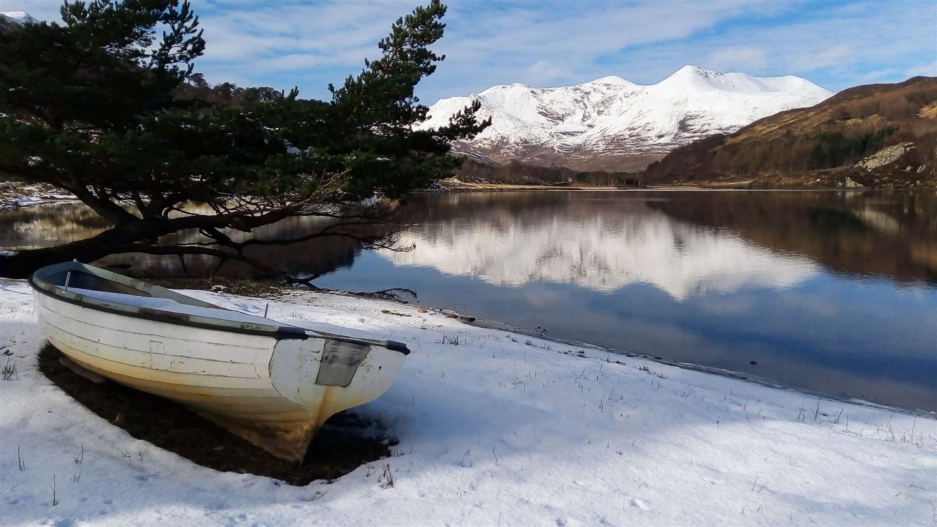
Heavy snow hits Highland roads amid yellow warning
Register for free to read more of the latest local news. It's easy and will only take a moment.

WINTER'S icy grip has returned in time for the morning rush hour, with snow falling in many parts of the Highlands as a fresh blast of Arctic air made its presence felt.
A couple of schools are also feeling the effects, with Cauldeen Primary advising parents that its heating its broken and it will be opening later than planned – if the system can be repaired in a timely manner.
A spokesman for the school said: "Unfortunately, we have no heating this morning.
"We are trying to get this fixed as soon as possible and hope to open late.
"We will update parents/carers by 9.30am. Apologies for the inconvenience caused."
Highland Council was also advising parents that Rosebank Primary in Nairn is also set to open an hour later than normal, although the cause was not elaborated on at the time of writing.
Meanwhile, police are urging drivers to take extra care on the roads as well as "plan ahead and allow extra time for journeys".
A spokesman added: "Before setting off check you have sufficient fuel, warm clothing, food, water and a phone charger in case of delays.
"Follow your local authority for the latest updates.
"Other information can be found on the Ready Scot and Traffic Scotland websites and social media accounts."
The police call comes amid an active yellow warning across the Highlands for snow and ice.
Forecasters are predicting up to 10cm on higher routes, but snow was also falling to sea level in numerous parts of the region during the morning rush hour – so there is a risk of snow disruption pretty much anywhere.
Forecasters are also expecting snowfall at lower levels to become more common as the day rolls on – with a few centimetres possible "locally" into the evening.
The yellow warning came into force at 5am, and is expected to remain in place until 11am on Tuesday.
A Met Office spokesman said: "A band of rain will gradually turn to snow from the north during Monday morning, initially above 200m, but later, to low-levels. 2-4 centimetres are possible above 200m and 5-10cm above 300m.
"A few centimetres may develop locally at lower levels into the evening. Rain and snow should clear to the south of the area Monday evening, and with skies clearing, icy stretches will be possible on untreated surfaces.
"Occasional snow showers will follow into the north and west of Scotland during Monday evening and night giving a few centimetres of snow in places."
– Do you have any photos of this morning's snow? We'd love to see them. Email them to newsdesk@hnmedia.co.uk