


UPDATE: Two days of torrential rain over Highlands sees Met Office severe weather warning upgraded to amber
Register for free to read more of the latest local news. It's easy and will only take a moment.

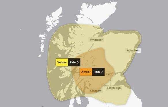
The Met Office has upgraded its severe weather warning from yellow to amber for parts of the Highlands.
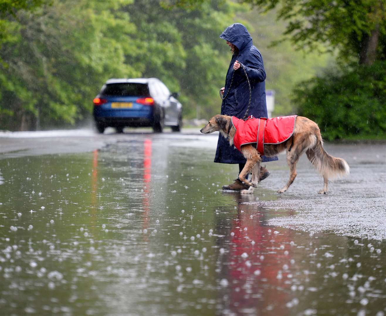
With two days of torrential rain in store from midnight tonight an area south of Inverness is expected to experience a heightened risk of flooding, property damage and dangerous roads.
The national weather agency says heavy and persistent rain will impact much of Scotland from late Friday through to Sunday morning.
Most of the Highlands was already on high alert, but the elevated warning for the Aviemore and south Loch Ness area means a higher probability of homes and businesses being flooded or damaged, “danger to life” from fast flowing or deep floodwater, power cuts, transport delays, road closures and increased risk of accident.
RELATED STORY: Met Office weekend weather warning puts Highlands on alert for flooding and dangerous conditions
Met Office chief meteorologist Neil Armstrong said: “Prolonged heavy rain is expected to cause widespread disruption for much of Scotland.
“While Saturday into Sunday will be widely very wet for Scotland, the heaviest, most disruptive rain is expected in western and central Scotland, as is reflected in our warnings.
“Within the Amber warning area, 80-100mm of rain is likely quite widely, with as much as 150-180mm possible in some of the wettest spots.
“Rain is expected to slowly clear to the north during Sunday morning.
“We’ll continue to review warnings so it’s important for everyone to stay up to date with the latest forecast for their area.”

Ruth Ellis, flood duty manager for the Scottish Environment Protection Agency (SEPA), said: “This is a major rainfall event as we are expecting to see significant, prolonged heavy rain throughout Saturday across the southern Highlands and western Central Belt, with further heavy rain in the north on Sunday.
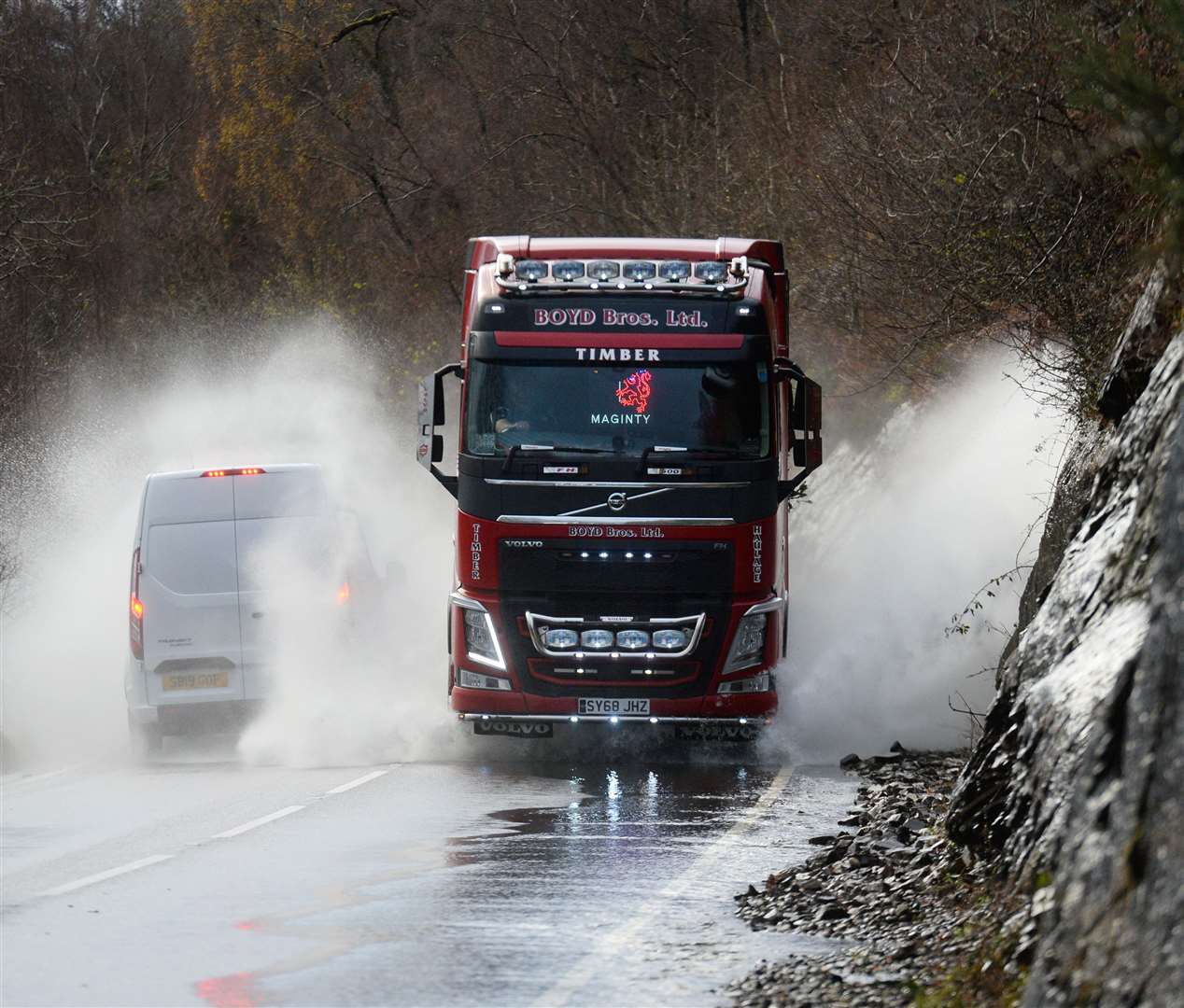
“We’re likely to see extensive river and surface water flooding impacts, including property flooding and widespread transport disruption.
“We would strongly advise people to sign up to Floodline to receive free updates for where they live, or travel through, directly to their phone.
“People can also check our flood updates for all the latest information and the three-day Scottish Flood Forecast to see what conditions are expected further ahead.
“We will be keeping a very close eye on the situation and monitoring 24/7 along with the Met Office and other partner agencies”.
Stein Connelly, from Transport Scotland, said: “It’s likely the heavy rain forecast this weekend will bring disruption to the transport network in Scotland, so it’s important people plan their journeys before they set off.
“Motorists should make sure their routes are available, follow the travel advice from Police Scotland and drive to the conditions.
“The Traffic Scotland Twitter/X page is regularly updated and the mobile website - my.trafficscotland.org - lets people get the latest information on the move.
“If you are planning to travel by train, ferry or plane, please check with your operators to see if the conditions are having any impact on your services.”