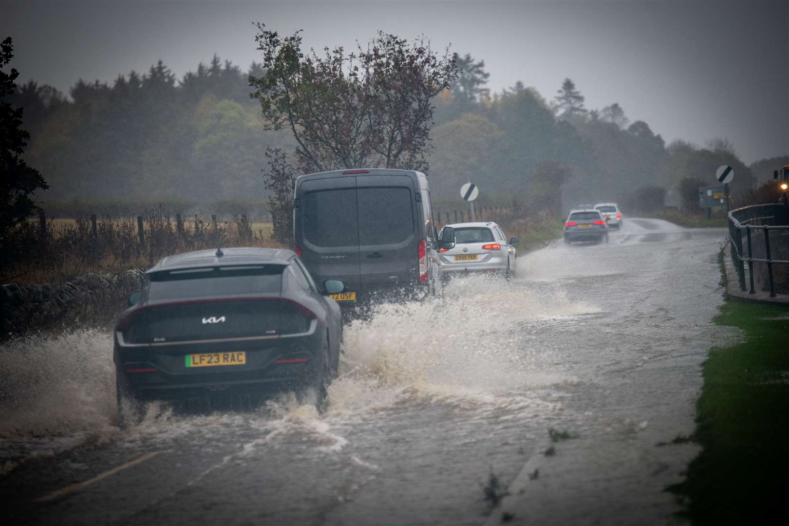
PICTURES: Images reveal scale of Storm Babet flooding chaos on Highland roads
Register for free to read more of the latest local news. It's easy and will only take a moment.
As the long clean-up operation begins, a raft of dramatic images have emerged of Storm Babet's extensive flooding impact on the Highlands.
Torrential rain brought further misery to the region on Saturday, after Storm Babet continued to batter the Highlands for a third day in a row.
An amber warning for up to 100mm of rain, which has since expired, covered swathes of the far north.
And the predictions of a deluge came to pass, with numerous roads hit by extensive flash flooding.
The key A9 and A835 trunk roads were both closed for hours on Saturday after flooding left them dangerous and impassable in places.
And the rail network was also impacted. Although the Far North and Kyle Lines were closed anyway due to planned engineering works, the floods have left Network Rail Scotland facing a potentially large clean-up operation - with it having already released images from the Kyle Line where part of the track bed had been swept away.
Fortunately Sunday looks set to bring some much-needed respite for the Highlands, which clear skies and sunshine greeting many areas this morning.
However, forecasters have warned that the outlook remains unsettled, with further rain predicted as we head into next week.
And although it is not being predicted to be as severe as Storm Babet at this stage, forecasters have warned that it will be falling onto already heavily saturated ground – raising the possibility of further possible impacts.
Ice will also be an issue, with the Met Office issuing a yellow weather warning on Sunday, amid concerns falling temperatures will combine with the sodden ground and standing water to cause treacherous conditions as we head into the working week.
Related: Met Office issues new yellow weather warning for ice in wake of Storm Babet


