


Rain forecast for south of England as flood alerts remain in place
Register for free to read more of the latest local news. It's easy and will only take a moment.
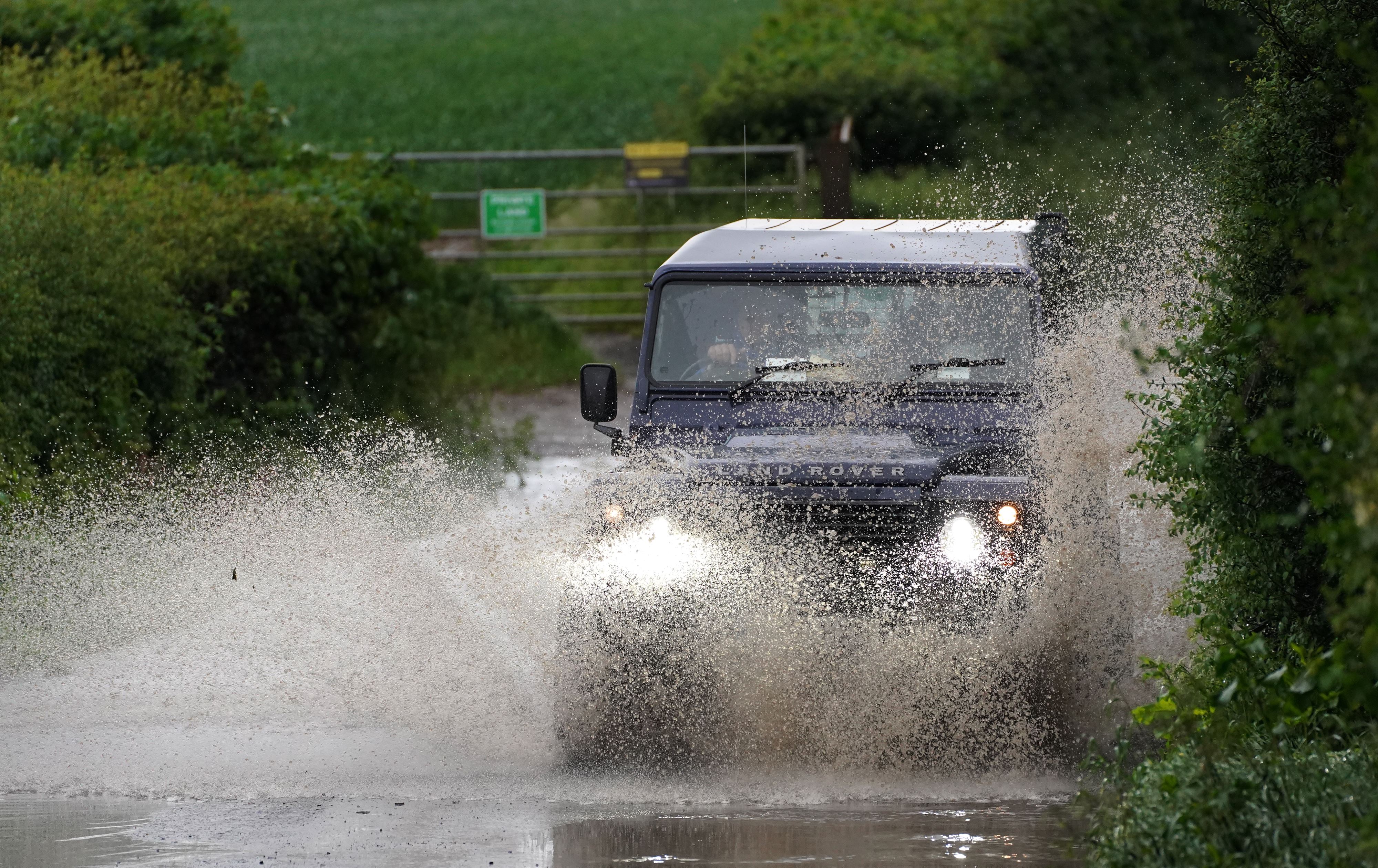
Southern England may be hit with more rain on Saturday, a day after parts of the South East endured a month’s worth of rainfall in 24 hours.
The Met Office has forecast outbreaks of rain to hit the South late Saturday afternoon into Saturday night, with the Environment Agency issuing 39 flood alerts, where flooding is possible, in London and surrounding areas, Kent, parts of the Home Counties, the West Midlands and Wiltshire.
It will be largely dry across most of the UK during the day as temperatures are predicted to range from highs of 19C (66.2F) in London and Cardiff to 18C (64.4F) in Belfast and 17C (62.6F) in Edinburgh.
Some sporadic showers are also forecast for Scotland.
Further rain is predicted for the south of England, northern Scotland and Northern Ireland on Sunday, while the rest of the country will likely be dry with some bright or sunny spells.
Surrey Fire and Rescue Service on Friday alerted drivers to “lots of standing water” on the roads, while the Driver and Vehicle Standards Agency (DVSA) has issued advice on driving safely through summer showers.
The DVSA’s tips include allowing at least double the usual separation distance between your vehicle and the one in front, keeping speed down and using dipped headlights so that other drivers can see you.