


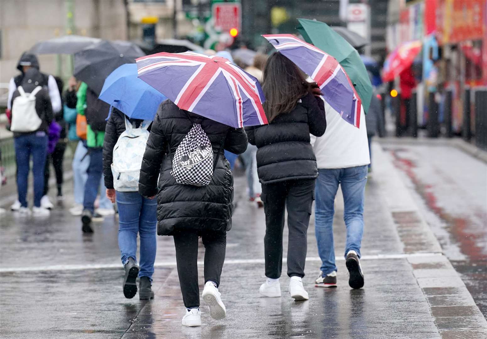
Heavy rain and gales forecast for parts of UK
Register for free to read more of the latest local news. It's easy and will only take a moment.
Gales of up to 60mph and heavy rain are due to hit parts of the UK amid days of unsettled weather, forecasters have said.
A yellow warning for wind, covering the west coast and Northern Ireland for 12 hours from 3pm on Tuesday, has been issued by the Met Office, which said “strong winds are forecast” through Wednesday.
A second warning was put in place for south-west England and south Wales throughout Wednesday.
Many yellow weather warnings are issued when it is “likely the weather will cause some low level impacts, including some disruption to travel in a few places”, the Met Office website says.
The forecaster said: “After a brief lull in winds through the early hours of Wednesday, west or north-west winds are expected to increase once more during Wednesday morning, then remain strong for much of the day.
“Gusts of 40-50mph are expected widely within the warning area, but some coastal areas, especially in parts of south-west Wales and Cornwall, could see gusts above 60mph at times.
“Outbreaks of heavy rain or showers will accompany the strong winds.”
Temperatures are predicted to range from around 11C (51.8F) in northern Scotland to 16C (60.8F) in the south of England at this time.
Leading into Tuesday, the Environment Agency has issued eight flood alerts for scattered areas in southern England where flooding is “possible”.
Met Office deputy chief meteorologist Steven Keates urged people to prepare for “a distinct possibility of some disruptive wind for parts of the UK”, especially in southern and western areas.
He also said there is “potential for heavy rainfall and even some snow, though the latter probably confined to high ground in the north”.
Mr Keates added: “Although subject to a large degree of uncertainty, gusts of wind could be in excess of 60mph in some exposed upland or coastal regions, with around 35mm (1.4in) to 50mm (2in) of rain possible for some areas.”
After the recent warmth, it will turn colder across much of the country over the coming few days, before temperatures recover towards next weekend, according to forecasters.
Temperatures dropped on Monday after a balmy Easter Bank Holiday when the UK was hotter than Rome.
A high of 17.3C (63.14F) was recorded in Chertsey, Surrey – only slightly cooler than the hottest temperature of the year of 17.8C (64.04F), recorded in Santon Downham, Suffolk, on March 30.