


‘Difficult’ driving conditions forecast after weather warning issued for fog
Register for free to read more of the latest local news. It's easy and will only take a moment.
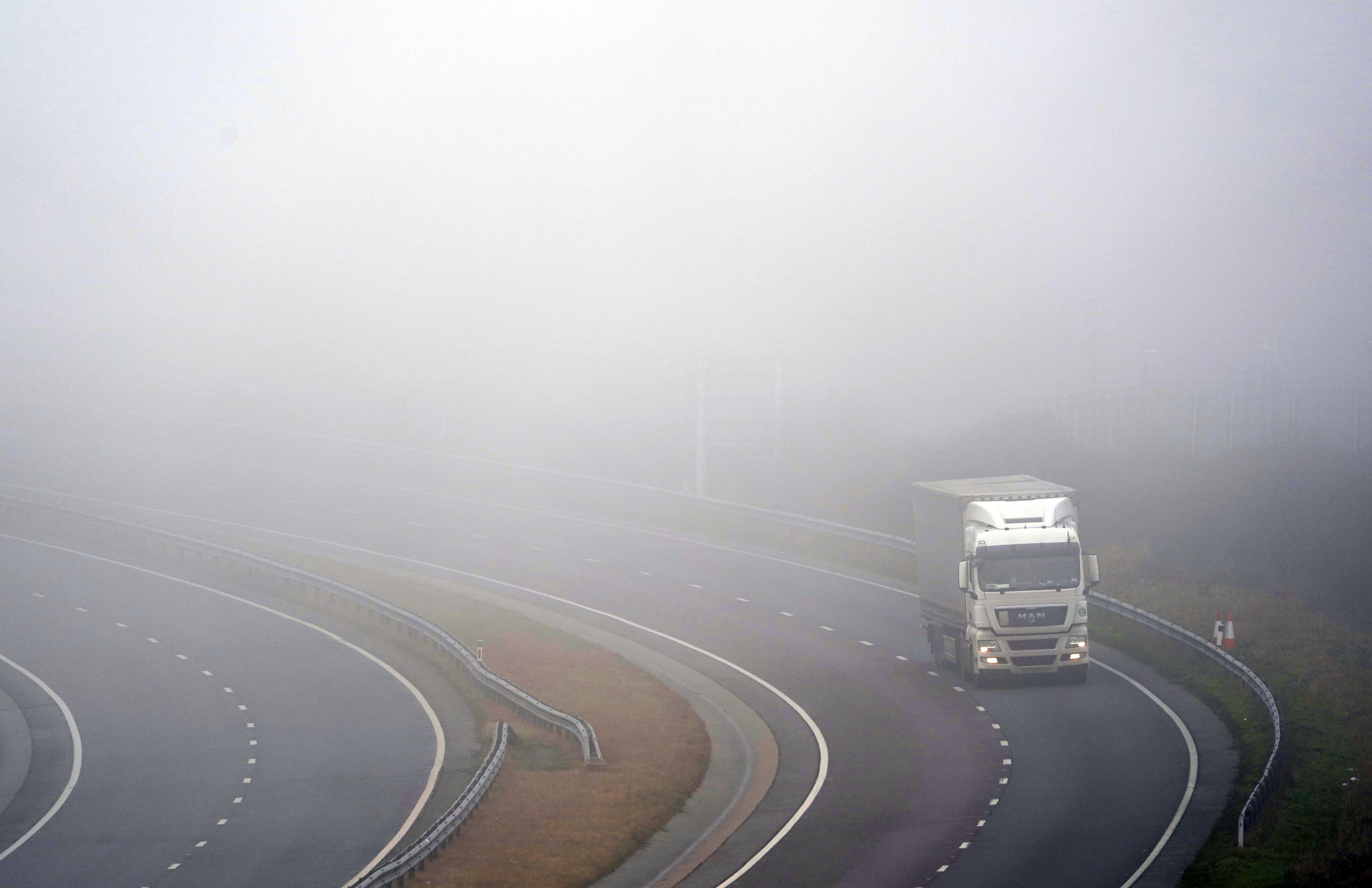
Thick fog is expected to create “difficult” driving conditions and potentially lead to flight delays in the South West and Wales.
The Met Office issued a yellow weather warning for thick fog from 5am until 11am across the whole of the South West and the southern coast of Wales, including Cardiff.
“Thick fog, mainly on modest hills and near the south coast, will make for difficult driving conditions this morning,” the Met Office said in an update.
“There is a chance of delays to flights.”
A frontal system slowly moving northwards has begun arriving into south-western parts of the UK and bringing very moist air, the update added.
“As cloud above it thins, and rain eases, this will allow a period of thick low cloud and fog to continue to develop, settle onto hills, and expand northwards with visibilities below 50 m in a few places,” it said.
Visibility will slowly improve once the fog lifts into low cloud later on Wednesday morning.
Temperatures are not expected to exceed 10°C throughout the day with outbreaks of light rain and drizzle also predicted by the Met Office.
Heading into the evening, patchy light rain and drizzle will continue with a band of more organised rain expected to arrive across west Wales during the second half of the night. Temperatures are not predicted to drop below 5°C.