


Met Office Highland weather alert for rain with warning over localised flooding and hill snow thaw
Register for free to read more of the latest local news. It's easy and will only take a moment.

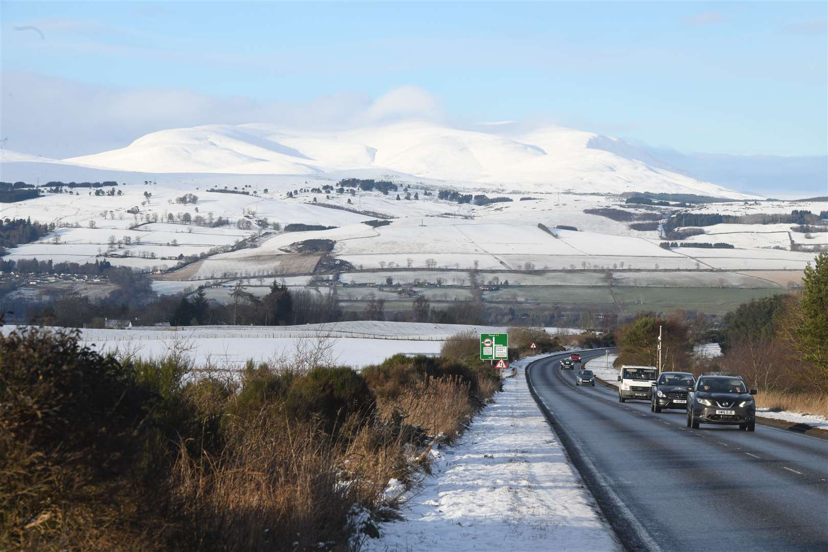
THE Met Office has issued a weather warning for rain with the prospect of local flooding and potential travel disruption flagged.
The Yellow warning kicks in at 2pm today (Tuesday) and runs until 6am on Wednesday morning.
It states: "Occasionally heavy rain, and a thaw of lying hill snow is expected to lead to localised flooding and transport disruption."
The Yellow warning means:
Flooding of a few homes and businesses is possible
Bus and train services probably affected with journey times taking longer
Spray and flooding on roads probably making journey times longer.
The forecast is for a band of rain sweeping eastwards this morning. That is expected to clear for most in the afternoon, with drier and brighter conditions developing from the north.
Overnight will see cloud and rain move in from the south, "heavy and rather persistent for a time".