On the right path – Minigaig pass, Cairngorms
Register for free to read more of the latest local news. It's easy and will only take a moment.

Our new series looking at historic paths across the Highlands continues with John Davidson's overview of the Minigaig pass through the Cairngorms
Distance: 29 miles / 46km (including links to railway stations at Kingussie and Blair Atholl)
Route and terrain: Ruthven Barracks, Kingussie to Bridge of Tilt, Blair Atholl
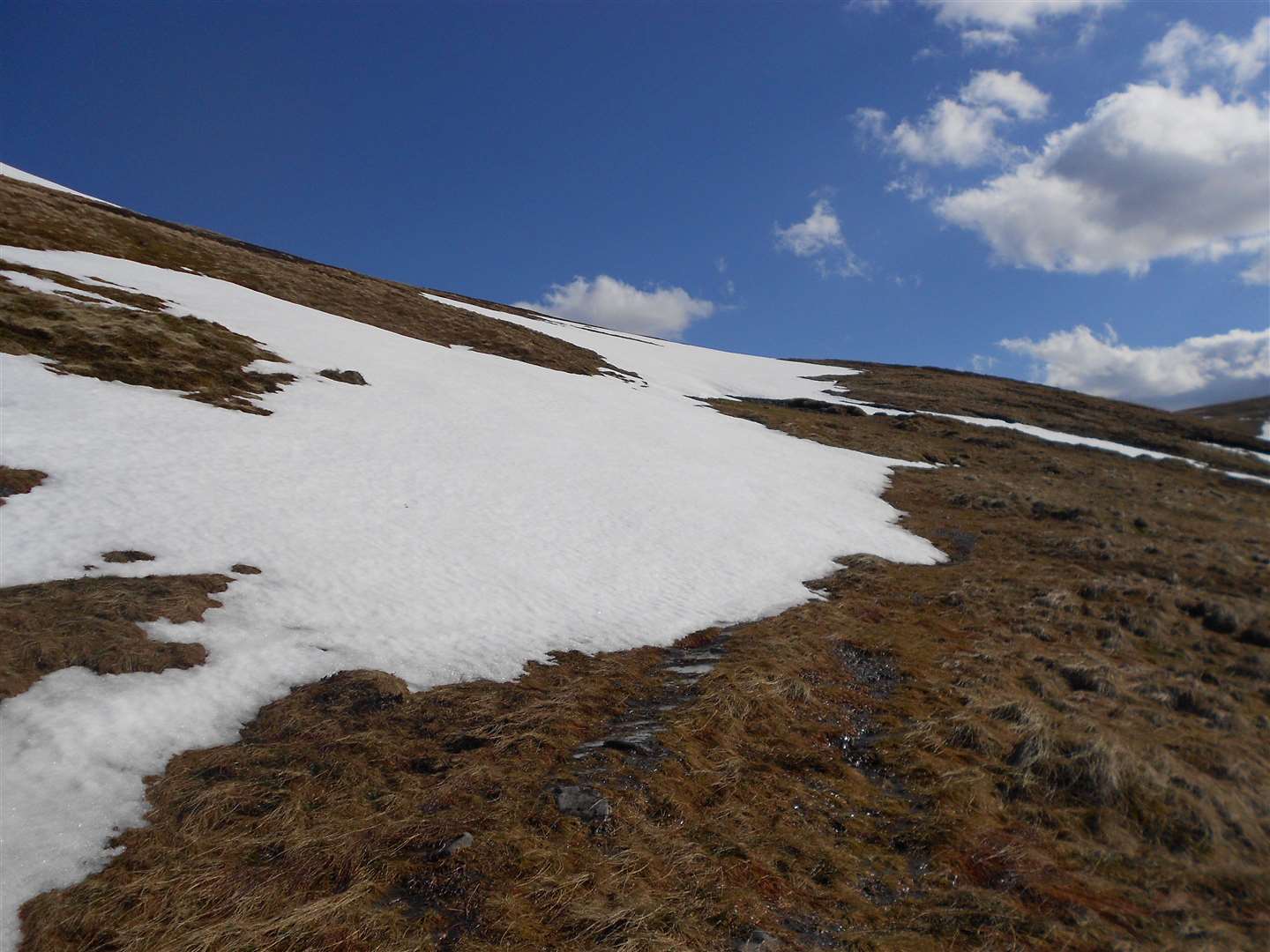
The Minigaig pass heads into very remote and inaccessible mountainous terrain, and only those with good navigation and other hill skills should venture there. Clearly, during the current lockdown for coronavirus, the route is out of bounds to everybody and this feature is provided only for information, interest and hopefully a little inspiration.
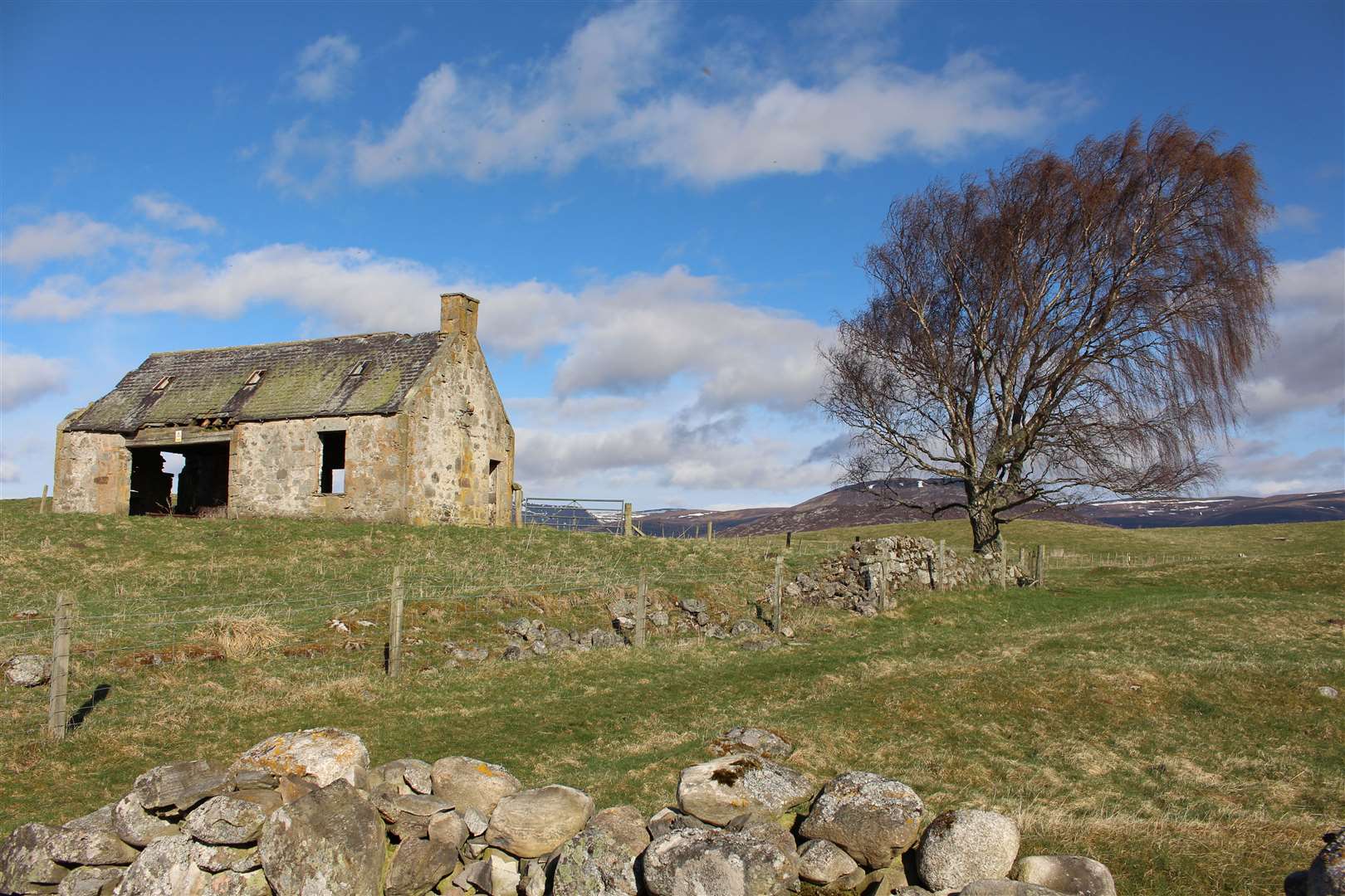
Starting at the north end beside the barracks, the unmarked path goes through a gate to pass along the edge of a field, going right along the edge of another field then following a grassy track up through a wooded glen to reach a ruined barn beside a wall.
From here the route goes over a stile then crosses grouse moors south then south-west over Sron na Gaoithe and past Carn Pheigith – a small cairn on the hill’s south ridge – to descend to the River Tromie.
The bridges marked on the OS map were washed away in 2018, meaning access to the track on the far side of the river would involve a potentially dangerous crossing. An alternative would be to start the route at Tromie Bridge further along the B970 from the barracks and follow the track up the east bank of the river.
The route of the Minigaig follows this track past Bhran Cottage until it crosses the Allt Bhran. Before crossing the river, a path is marked on the map keeping to the north of this burn, though on the ground it is almost impossible to find.
It is possible, however, to follow the rough direction high above a deep gorge then onwards to reach a concrete weir. The way is largely pathless from the point you leave the main track to the top of the pass itself, some 9km or so away.
Keeping to the north and east side of the burn until just beyond the point where the Allt Coire Bhran meets the main burn, the route then climbs across the edge of Leathad an Taobhain, a remote Corbett sitting above the Minigaig.
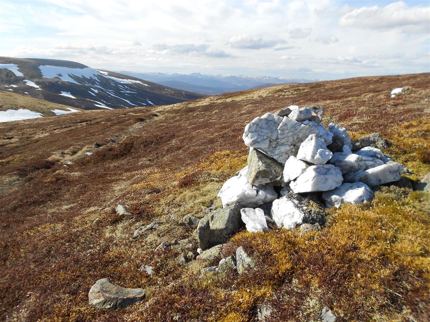
Here, some evidence of the ancient route remains, with a clear ‘road’ to the west of the hill’s summit heading to the pass itself, which is marked with a bright white quartzite cairn.
Smaller cairns show the continuation of the route southwards across the moors. There is a better-defined route on the south side of the pass, though it involves fording a few burns as it heads almost due south across the plateau towards the head of Glen Bruar.
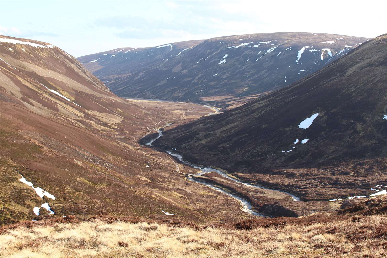
The path drops steeply off Carr Uchd a’ Chlàrsair to a bridge on the vehicle track that heads down the glen. This track can be followed to Bruar Lodge but before it crosses the river, find a vague path on the east side of the Bruar Water that cuts across Druim Dubh.
A potentially tricky burn crossing lies between here and the Allt Sheicheachan bothy – often used as a base for climbing the nearby Munro of Beinn Dearg – and from there a track climbs southwards.
This cuts across the moors and past a cairn known as the Lady March Cairn, said to mark the spot of a picnic taken here, before dropping into the forest and out to a crossroads. Going straight ahead here leads you to the car park at Old Bridge of Tilt.
Maps: OS Landranger 35, 42 & 43
Access: At the north end of the route, the start of the Minigaig is at a gate about 50m south-west of the parking area for Ruthven Barracks. It is about a mile from the village of Kingussie, which has a railway station on the Highland Main Line. The path can be reached by following the B970 over the railway line and on to the barracks.
The usual terminus at the southern end is the car park at Old Bridge of Tilt. To reach the area from Blair Atholl, cross the River Tilt (on foot or by vehicle) and follow its east bank, heading left at Old Bridge of Tilt to pass under a stone bridge after crossing the river again.
The railway station at Blair Atholl is on the same line as Kingussie, making a round trip possible using connecting trains between Inverness and the central belt.
History: The Minigaig is the only road to the north shown on Greene’s map of 1689 and Moll’s map of 1725.
It superseded the earlier Comyn's Road and was itself superseded by Wade's military road over the Drumochter Pass, which was constructed between 1728 and 1730 – though the Minigaig still appeared on maps as a ‘summer road to Ruthven’ after that date. The Minigaig is also marked, without a name, on Willdey's map of c.1745.
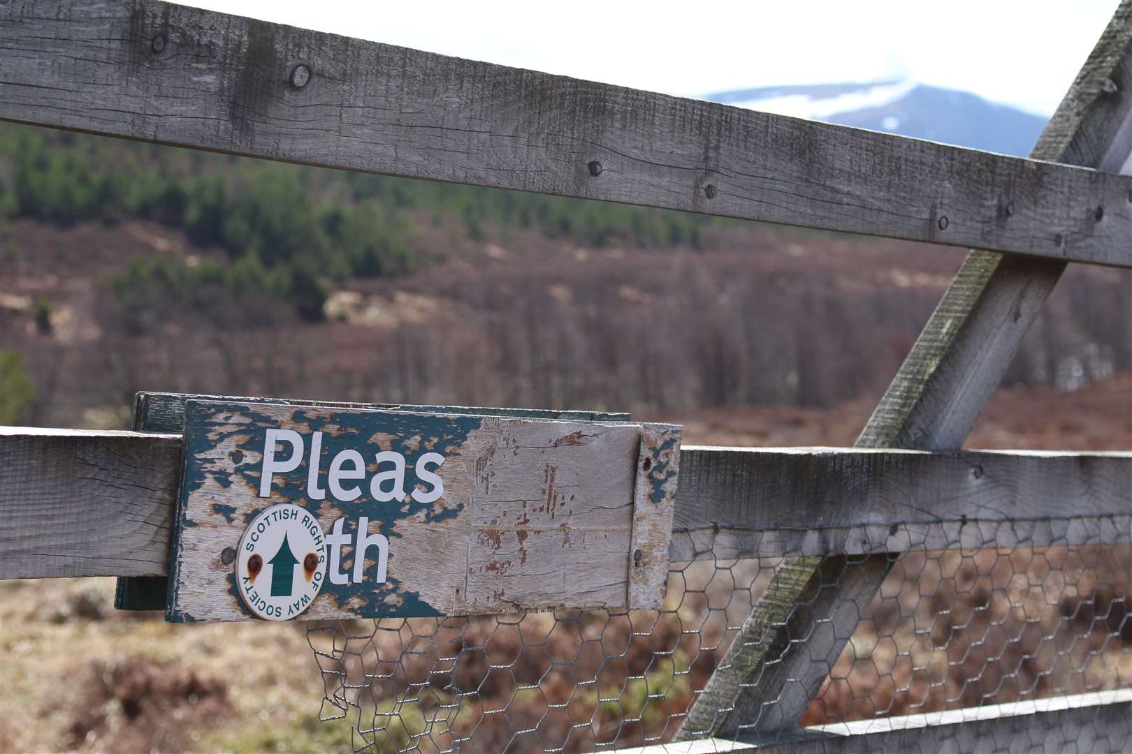
It was first signposted by the Scottish Rights of Way and Access Society in July 1885, when it was admitted by the Duke of Atholl to be a public path.
Thanks to ScotWays for the use of heritage information relating to this route.
More from Active Outdoors: