Nelson's Tower and Sanquhar Loch on a waymarked walk around Forres
Register for free to read more of the latest local news. It's easy and will only take a moment.

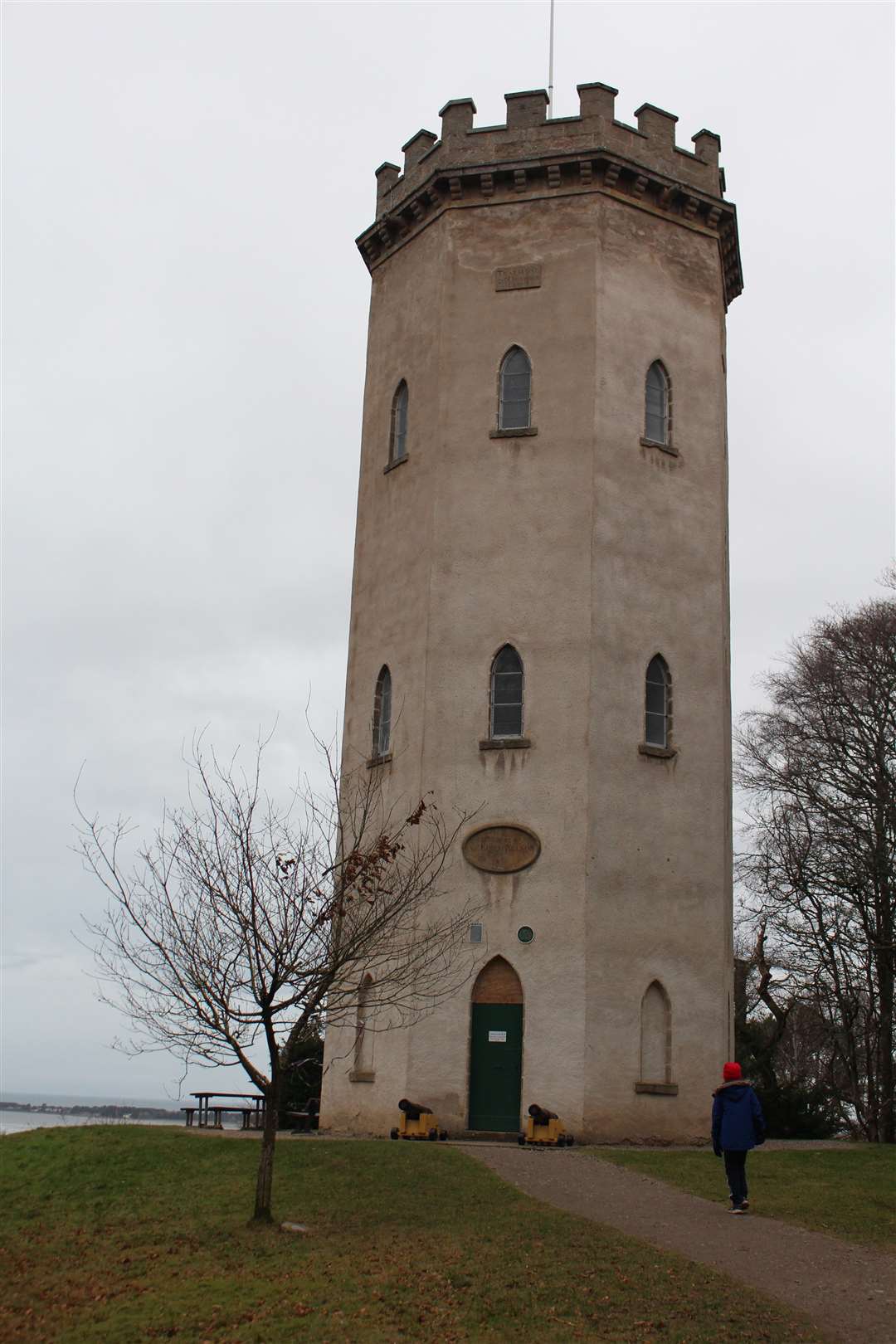
Seven years after the Battle of Trafalgar was won, Nelson’s Tower in Forres was opened to celebrate the famous naval victory in the Napoleonic wars.
Lord Admiral Nelson’s legacy lives on in many forms, but the public subscription to build the tower on Cluny Hill in Forres was well ahead of Trafalgar Square (1835) and Nelson’s Column (1843) in London.
Despite getting the foundation stone in place by August 1806 – less than a year after Nelson was killed in action during the battle – it took until 1812 for the tower to be unveiled on Trafalgar Day, October 21.
From April to September, the tower is still opened for a couple of hours each day to allow visitors to climb the steps and enjoy the panoramic view which takes in the Moray Firth and over to the distant hills of Caithness and north-west Sutherland.
This winter walk starts below the hill, at a car park signed for Nelson’s Tower. A number of routes are suggested on a Forres footpaths panel, and we decided to follow the yellow one which heads out to Sanquhar Loch before looping around the outside of the golf course.
It starts by following a track at the back of the car park and climbing some wooden steps into the woods on Cluny Hill. Bear left at the top then cut right up a short set of steps and go uphill on the track.
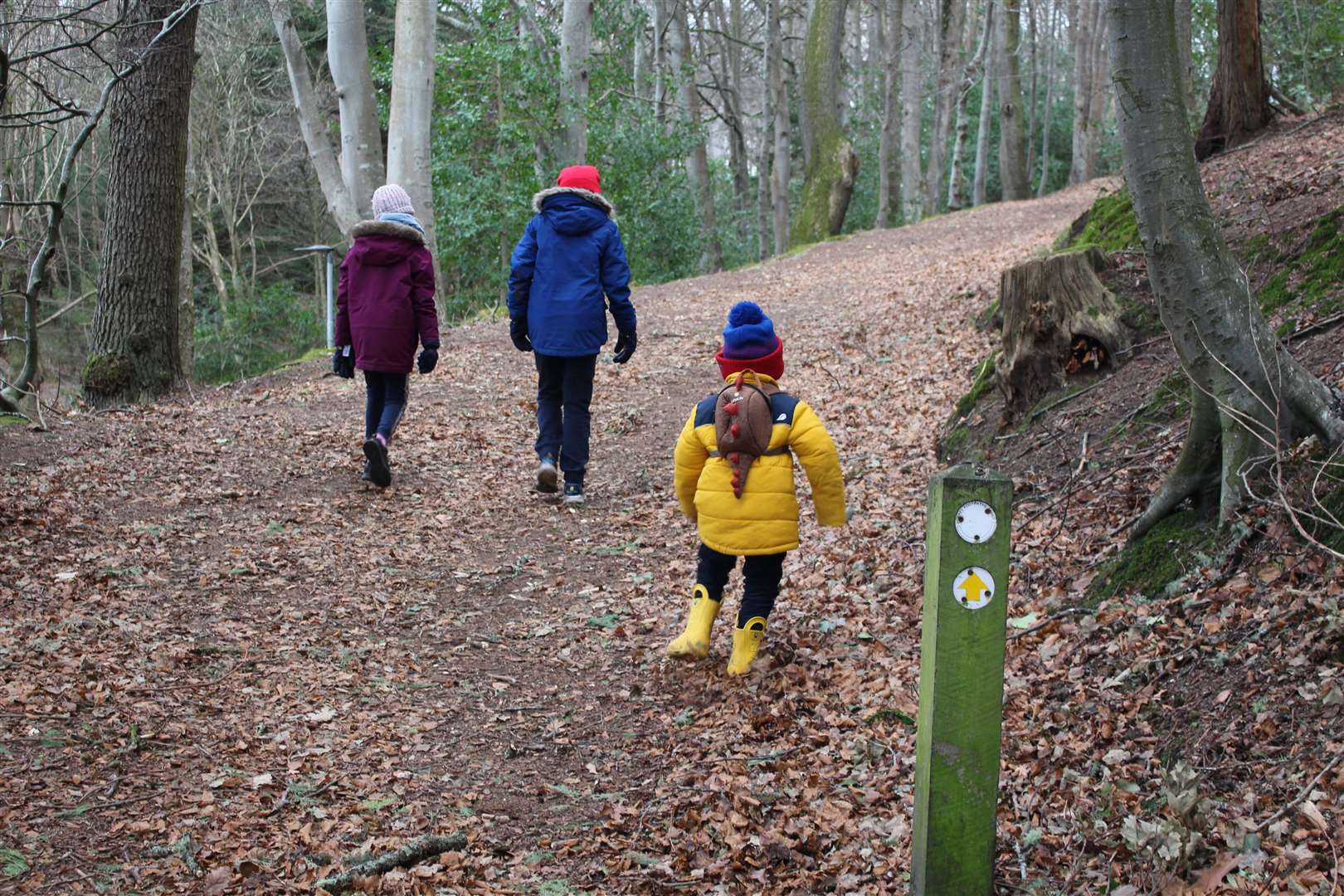
The track bends to the right higher up before turning sharp left to drop downhill to a junction, where you follow a signpost right. The route finding can be quite intricate but the yellow markers keep you on track the whole way.
Turn right at a vague crossroads of paths and drop down to another junction where you bear left to keep downhill, reaching a few houses before coming to a road. Cross here and follow the track opposite past some rather impressive houses and continue on a little path between more houses.
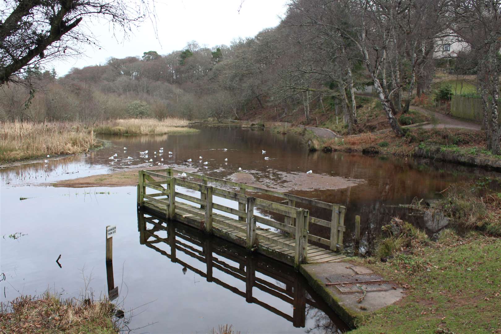
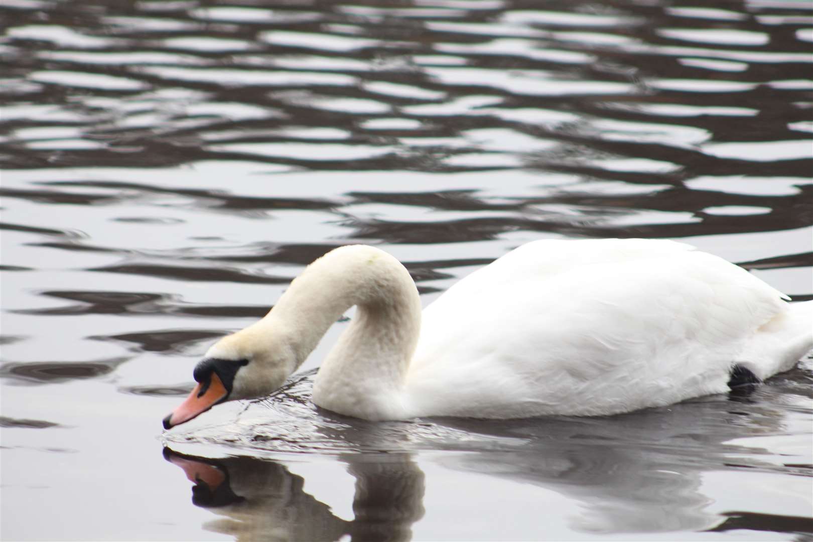
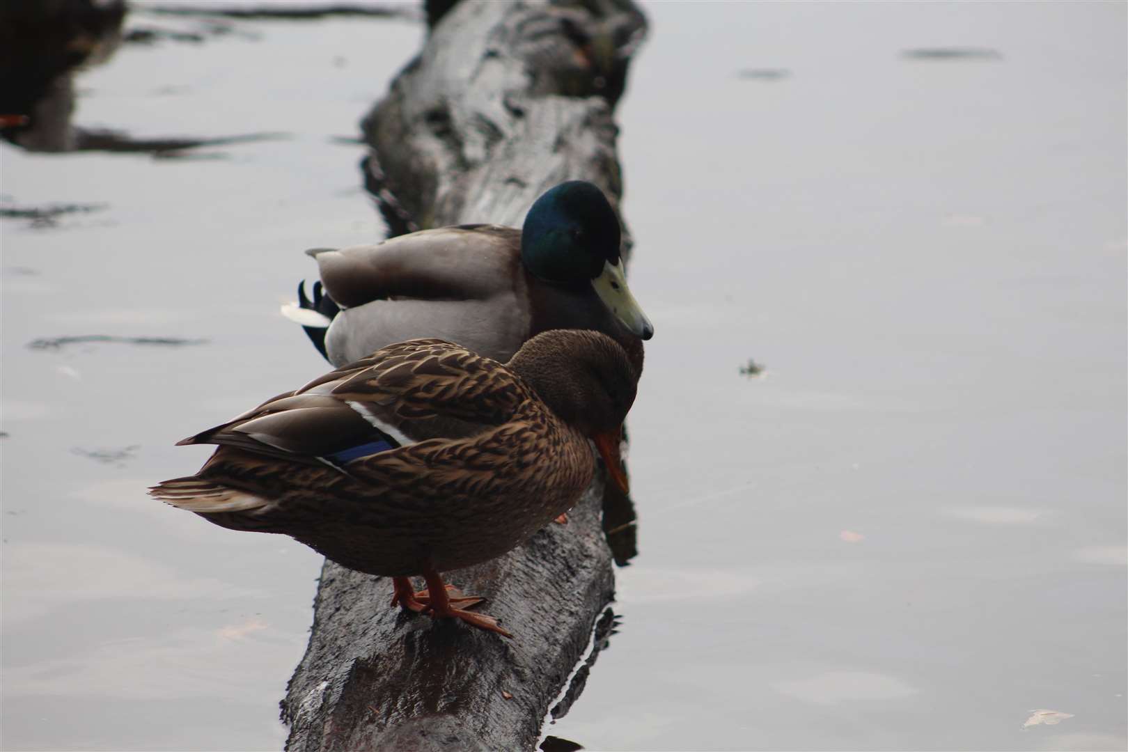
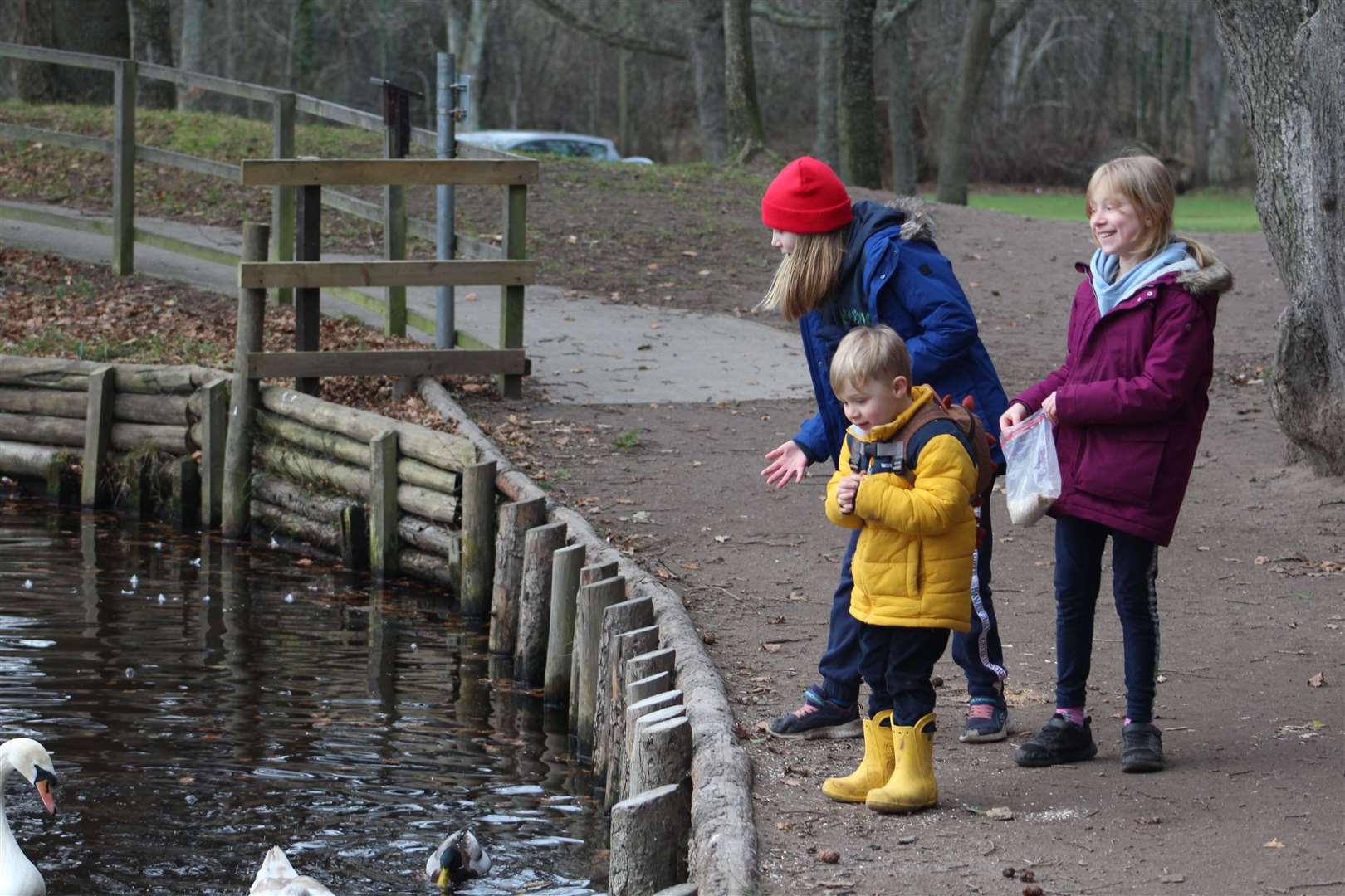
A left turn takes you to some steps that lead down to the picturesque Mosset Burn, meeting a well-built path at the bottom. We headed right here and followed it along to the Sanquhar Loch, which was teeming with ducks and swans, not to mention terns and gulls.
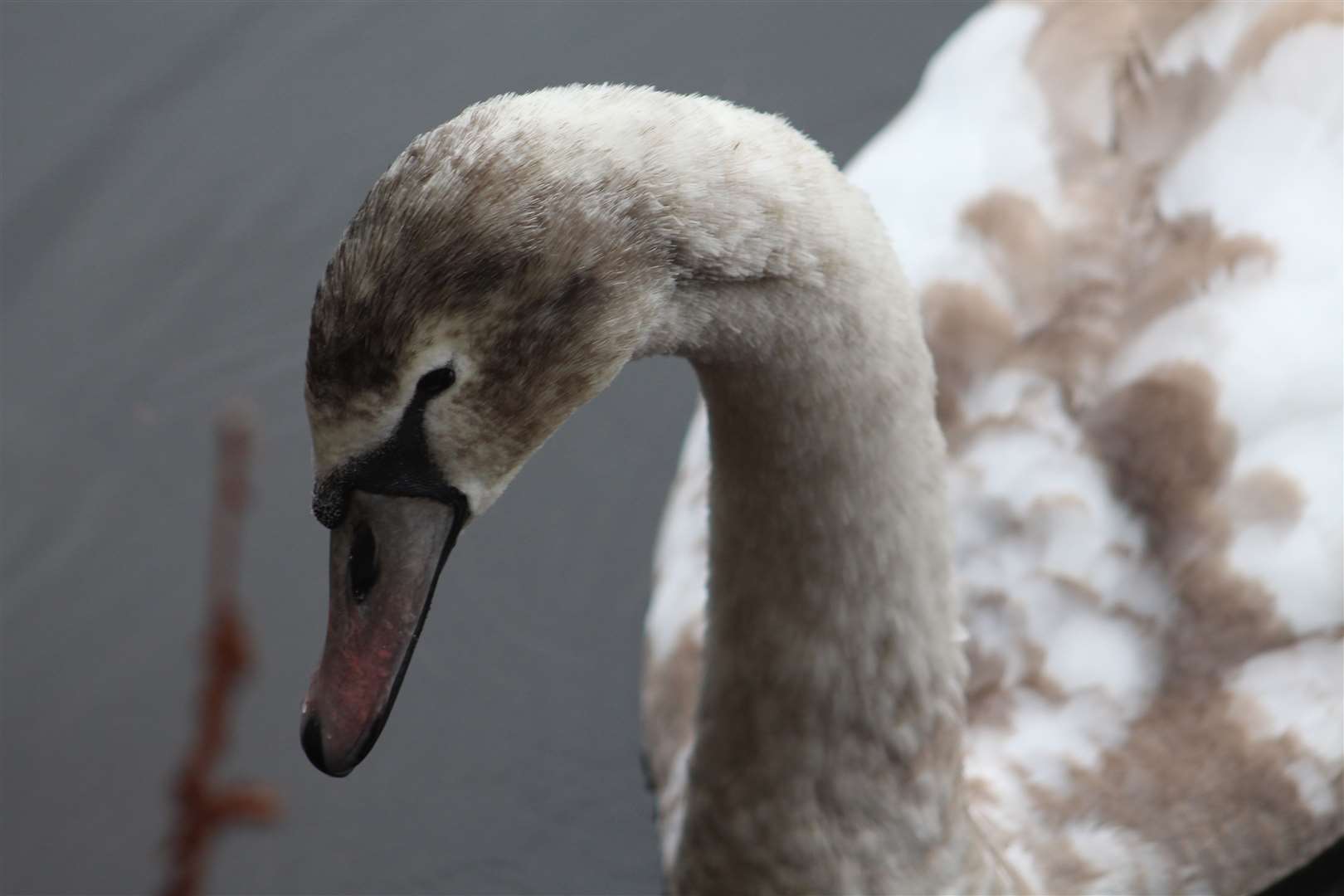
Unfortunately we hadn’t brought any food for them, but as we stopped to look at the wildlife, a chap walking his dog kindly let the children take the duck food he had brought with him. It made the kids’ day to be able to throw the food and watch the birds gather closer and closer, especially the magnificent swans with their three maturing cygnets.
We then continued around the loch, crossing the outflow via the pavement and passing a few picnic tables and an old wooden pier before taking a left turn onto a path just before the first house. The route keeps right to climb away from the loch here, meeting a track up in the woods where you take a sharp right turn.
After passing the back of a few more houses, you cross a minor road then enter Sanquhar Woods, where a map board shows a network of paths. Continue ahead, ignoring a path that shoots off left. Don’t head right into the open area known as the Coffin Field, instead veering left to reach a marked junction where a left turn takes you through another nice stretch of woodland.
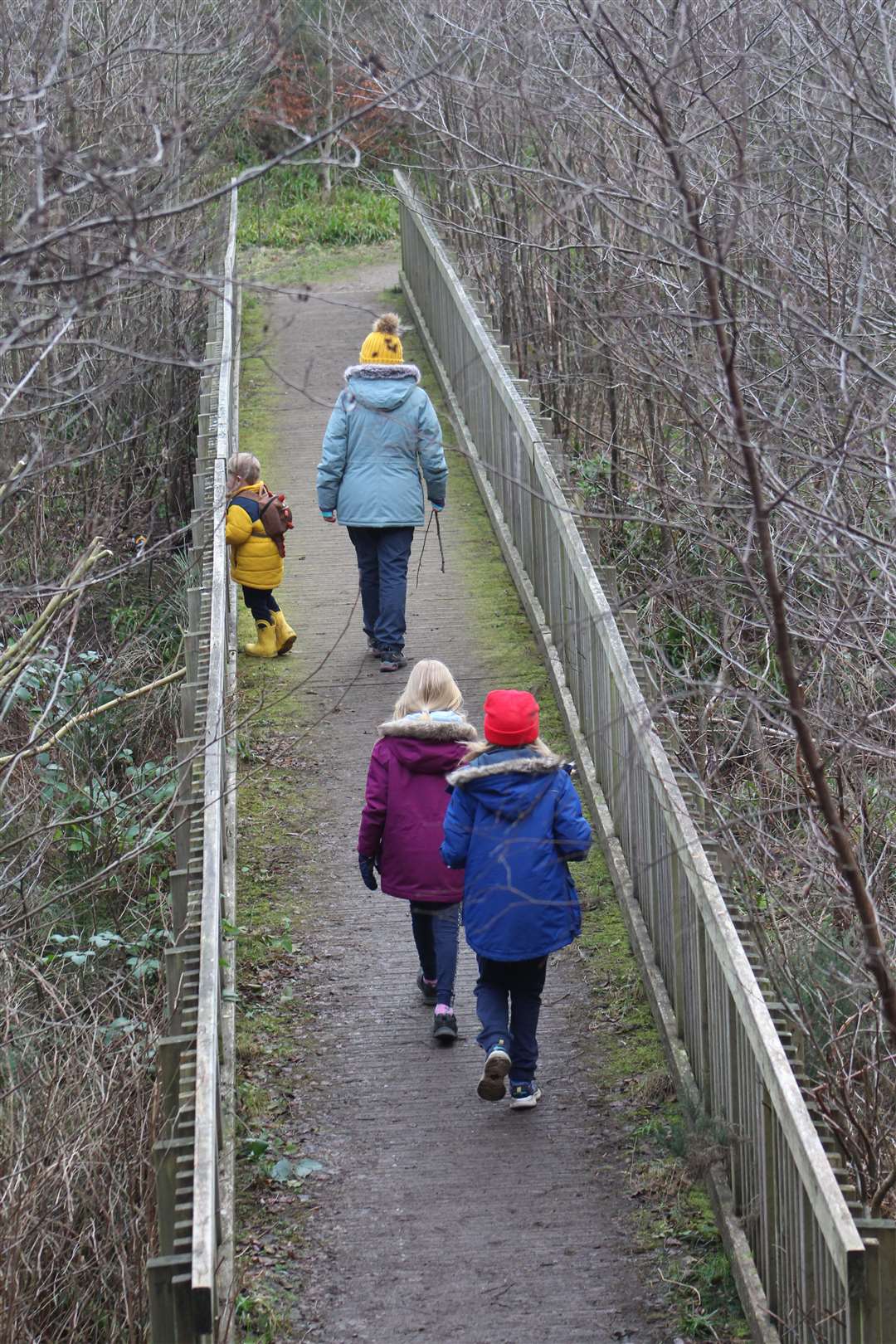
The girls were well ahead of us here and they spotted the marker pointing right, down a smaller path that soon bends left and leads to a wooden footbridge over the Mosset Burn. You can reach the bridge by turning right down some steps or following the zigzag path ahead.
The children discovered this was the perfect spot to play Pooh sticks, and spent some time racing each other before we continued on the far side. The path heads right then bends sharp left, though it looks like most people take the more direct shortcut up the bank and go left straight away.
This path leads through pleasant open country to pass through Chapelton Farm to reach St Leonard’s Road opposite the old Leanchoil Hospital, which closed in 2018.
Carefully cross the road here and follow the pavement – which soon becomes a grassy verge with an obvious path – to the right. Beyond the houses, a sign for the uninspiringly named Council Wood car park can be seen on the left.
Turn left and continue past the gate into the woods, following the yellow markers along a nice little path which eventually bends sharp right then turns left at a crossroads. At a T-junction, go left to follow a narrow path alongside the golf course and then past the back of a few houses to emerge at a cemetery.
Bear right here and follow the road carefully uphill. After a right-hand bend, a signed path opposite takes you back into the woods on Cluny Hill, climbing to meet a junction from earlier in the walk. The return route is clearly signed from here.
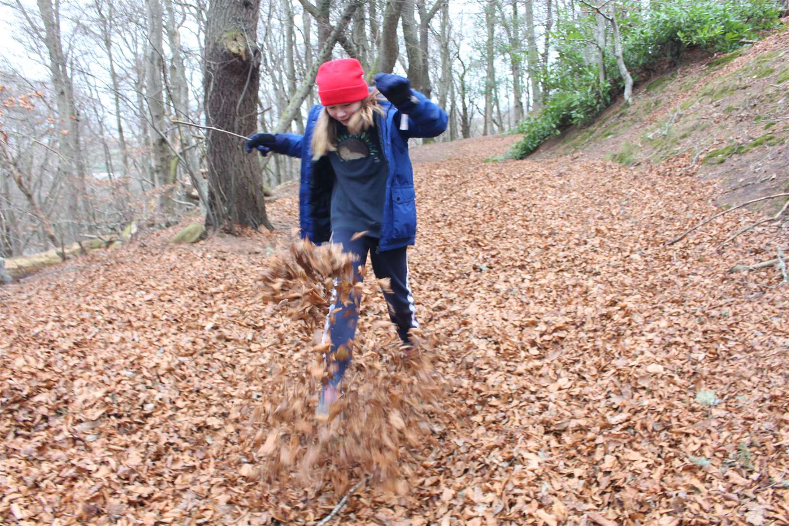
Clara and I decided to take the detour to Nelson’s Tower on the way back, following forest tracks through deep leaves as we wound our way up to the top of the hill. The view is impressive enough through a gap in the trees, but we’ll have to come back to climb to the top of the tower later in the year.
Back at the start there is a great play park which the children enjoyed while Meg and I wished the coffee kiosk was open… Roll on the warmer seasons ahead!
Route details
Forres – Sanquhar/Chapelton/Muiry walk
Distance 5 miles / 8km
Terrain Woodland paths and tracks, minor roads, pavement, hilly, steps
Start/finish Car park for Nelson’s Tower at Grant Park, Victoria Road
Map OS Landranger 27; OS Explorer 423; Paths map on info board at car park; Map and detailed walk instructions available at www.forresfootpathstrust.org.uk/walks.htm
A varied walk through woodland and countryside in Moray, visiting a historic monument