Going with the Flow on quiet cycle ride through Flow Country in north Sutherland
Register for free to read more of the latest local news. It's easy and will only take a moment.

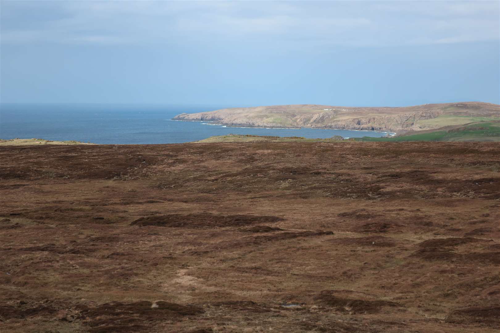
There has always been a huge amount to explore along the north coast of Scotland, from natural wonders to human heritage.
For better or worse, the North Coast 500 has made many more people from across the UK and around the world aware of this fascinating area.
I’ve done the whole 516-mile route on the bike – back in 2016 when the NC500 was a relatively new phenomenon – but there are plenty of other places to explore on two wheels, whether on road or on some of the great off-road trails in the region.
Despite the relatively few public roads in north Sutherland, it is possible to make a few great loops on the road bike, although the cycling can be challenging on long, exposed roads with little in the way of shelter.
This route starts at Melvich and follows a loop to Kinbrace, Syre and Bettyhill, with straightforward navigation with lots of miles to pack in between junctions.
Well rested after an overnight stay at the Melvich Hotel, I headed off east along the A836, which makes up part of the NC500. Dropping downhill makes for an easy start to the ride, and I passed the Halladale Inn where I’d camped in the basic field outside during a Land’s End-John O’Groats ride in 2015.
What a difference now! The inn is now a bistro bar with a touring park for campervans, caravans and glamping pods as well as tents, with a new building for washing facilities in the field where my tent had been.
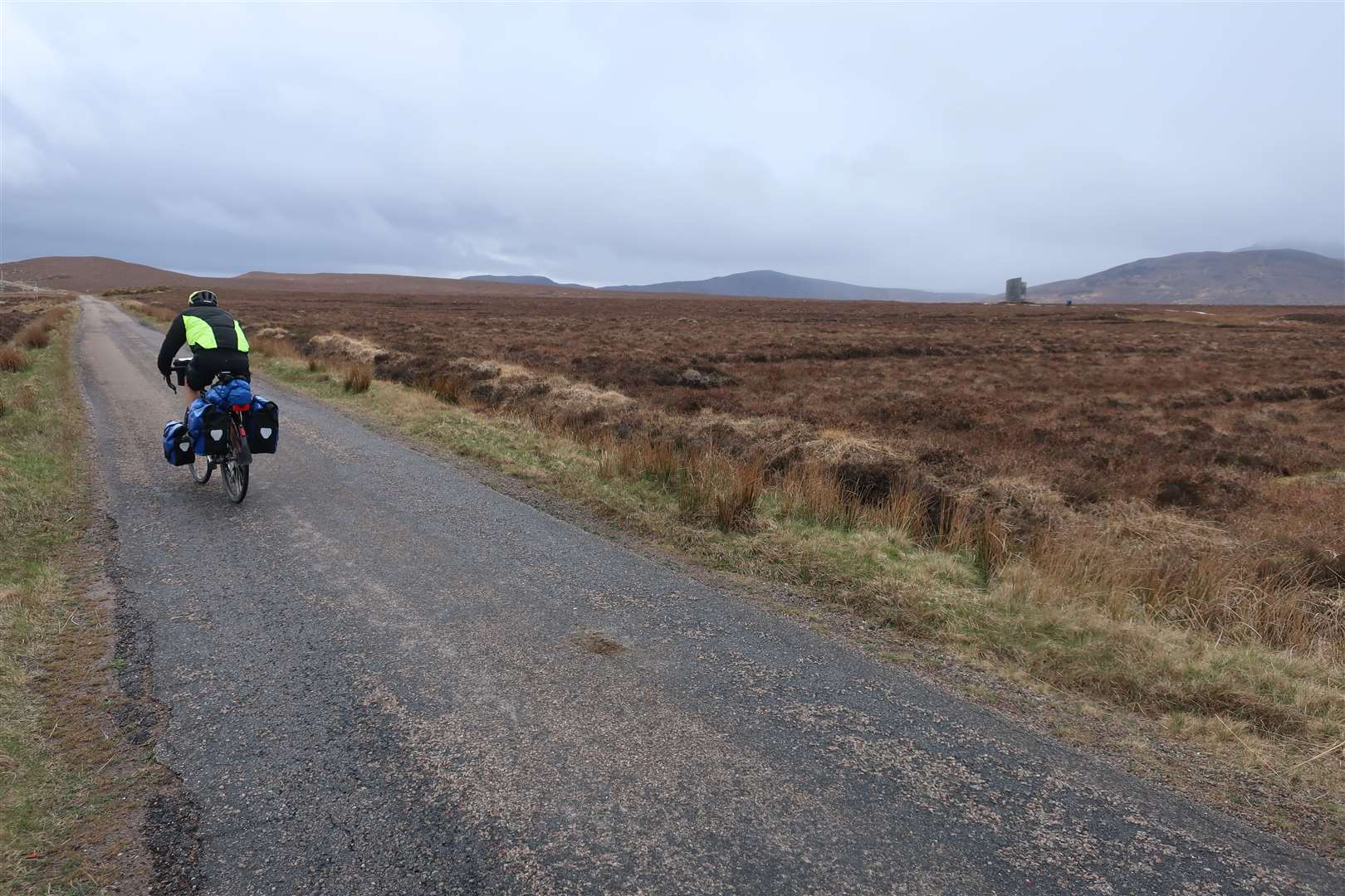
After crossing the river, take the right turn into Strath Halladale, signed for Helmsdale around 40 miles hence. With a strong headwind, I focused on reaching Forsinard where I knew I could pop into the RSPB visitor centre to hide from the elements.
This Strath Halladale road is single-track and pretty quiet in terms of traffic. Large stretches have recently been resurfaced too, making for great smooth cycling – at least when the wind isn’t too fierce.
The route takes you through the heart of the Flow Country, the largest continuous blanket bog in Europe and one of the world’s most important habitats for storing carbon.
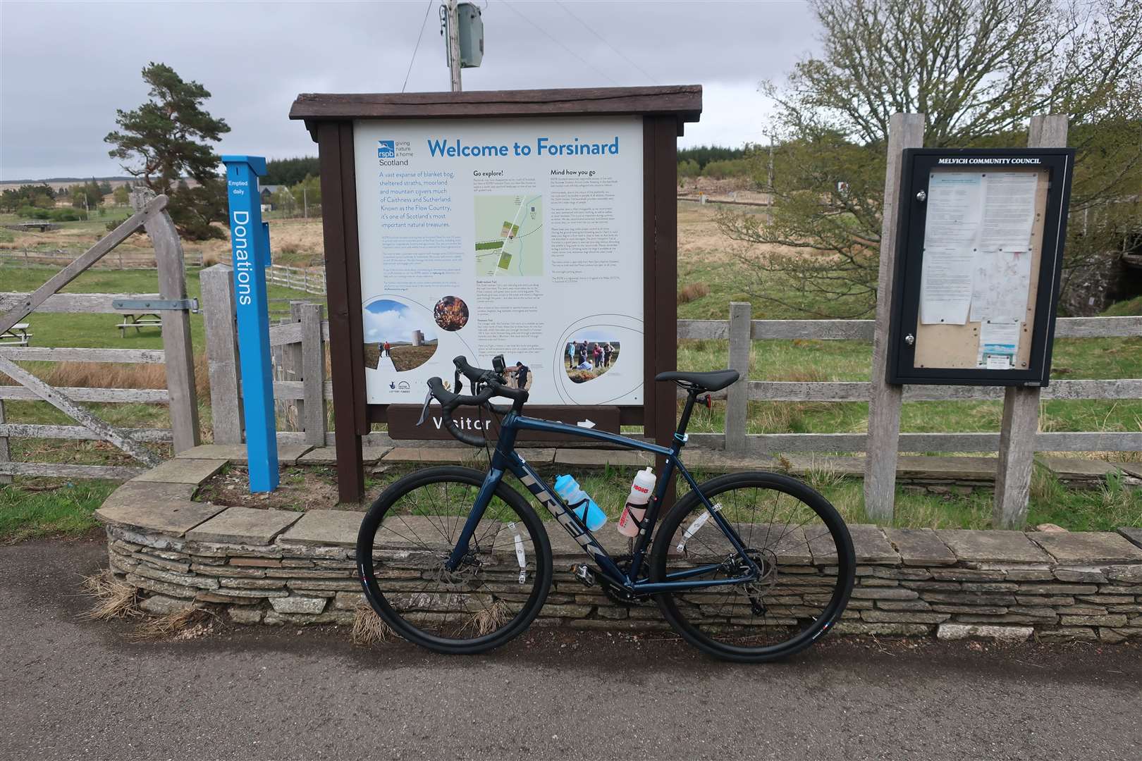
Having passed the start of a nice walking trail at Forsinain and climbed the hill beyond, it was a relief to reach the railway station at Forsinard, where the RSPB centre is located. There are interesting displays about the Flow Country and the types of flora and fauna to be found here – and there’s also a handy DIY tea and coffee machine – all inside the old station building accessible from the platform on the north side of the railway.
I parked the bike for a while and headed over to the Dubh Lochan Trail, a short stroll across the level crossing and over a boardwalk across the bog to a viewing tower. This is an excellent vantage point for seeing the vast expanse of peatland, with the two Griam hills forming part of the spectacular view.
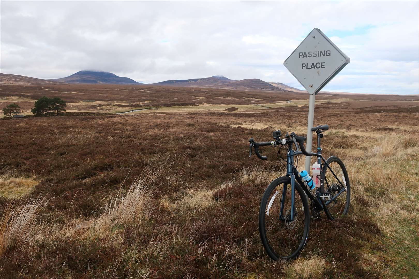
As I set off on the bike for the next stretch down to the junction at Kinbrace, Ben Griam Mor and Ben Griam Beag would continue to keep me company over to the right. I keep meaning to walk these hills but still haven’t found the time to explore them yet… a trip for another day.
There’s another request stop on the Far North Line at Kinbrace, and you cross the railway here after turning right onto the B871 towards Syre and Altnaharra. I knew this road was exposed and give or take a few bits where it bends northwards I would still be battling the wind for a while yet.
There was hardly any traffic along here, and I only saw a few anglers looking for the perfect beat, a timber truck and the mobile library as I approached Badanloch Lodge.
I was roughly halfway through the route now and knew there was a mysterious looking hotel situated just off the road below Ben Griam Mor, so I decided to pull off and grab a bite to eat.
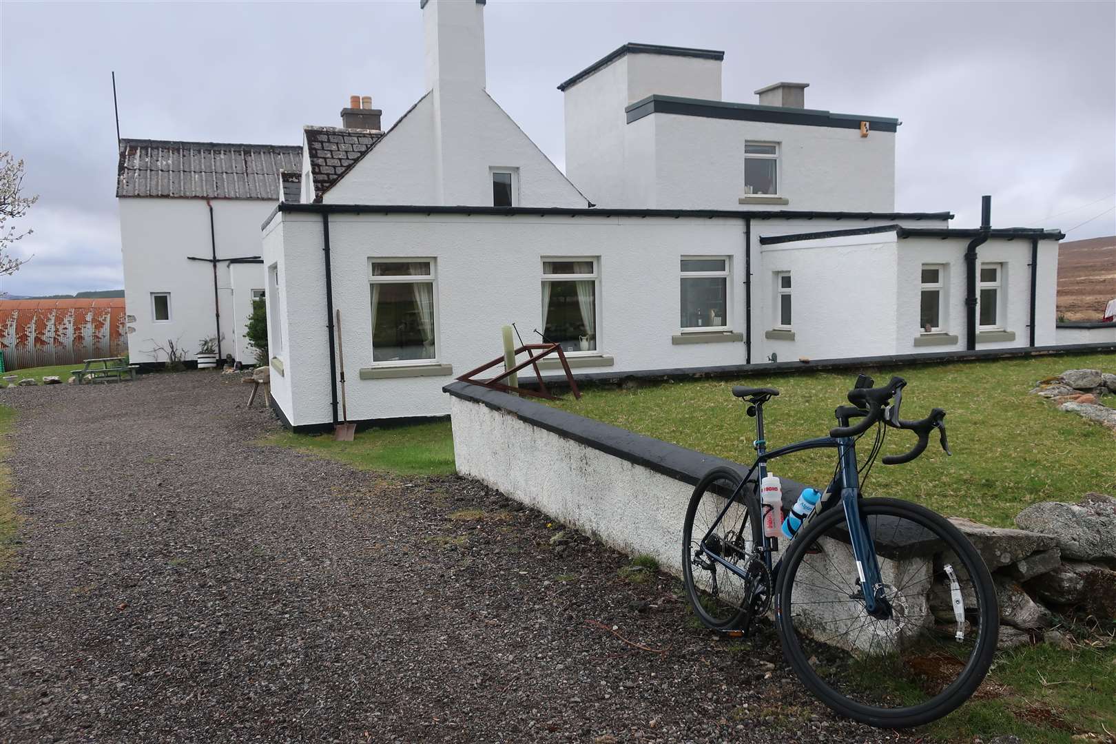
The Garvault Hotel claims to be the most remote hotel on the British mainland. That’s debatable, but it certainly is the most unusual I’ve come across. I arrived to an empty car park with no signs of life, so went to investigate.
Once I’d located the entrance – not as easy as it sounds – I went in and saw nobody about. I popped through to what must be the dining area and saw a notice on the door, so rang the bell. The service was a little abrupt, but I cannot fault the welcoming attitude of the host, who prepared me a lovely coffee and slice of lemon drizzle cake, even though there was no menu to choose from!
I paid with the remnants of the cash in my wallet (no wifi for card payments here) and continued along the road towards Syre. There are a few ups and downs as the route wriggles past a plantation forest and more lochs until it reaches the top of a pass at the Palm Loch.
The road bends north here and drops to a bridge over the River Naver, with the wind finally at my back. There’s a walk from here to the Clearance village of Rosal and various historic places to see nearby as part of the Strathnaver Trail, which gives a fuller flavour of life in these remote parts.
I turned right at Syre and with the wind at my back flew north with the river for company the whole way. The road meets to A836 north coast road a few miles outside Bettyhill, and I turned right again to follow it to the Naver Bridge and up the hill into the village.
With almost 15 miles still to go on a hilly road, I decided to pop into the Store Café at Bettyhill, which was just about to close as I arrived. The friendly staff made me a quick coffee and I grabbed a few bits to eat outside on the picnic tables that overlook the village.
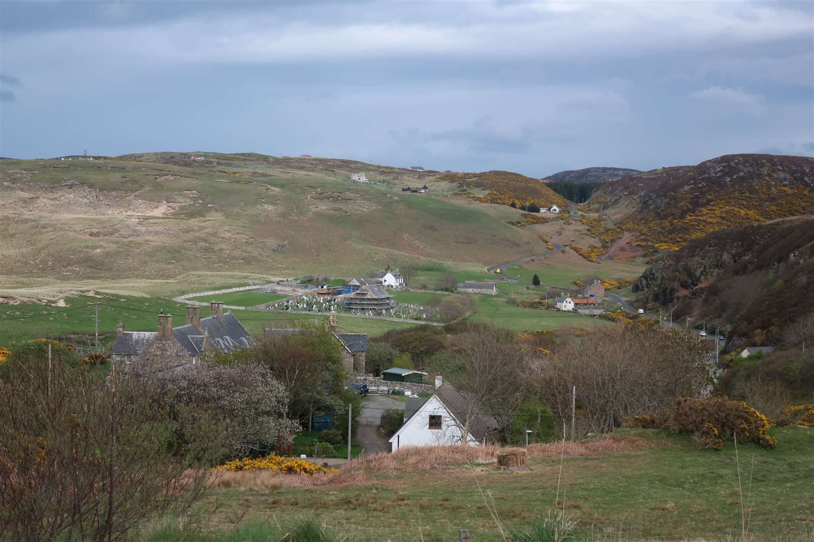
It was a relaxing spot in the afternoon sunshine, but beyond the Strathnaver Museum in the bay below I could see the first of the climbs awaiting me. I’d cycled the road a few times before, so I knew they were rideable – it was just a case of getting the head down and keeping the pedals turning.
Thankfully the scenery is so captivating that the hills weren’t the only thing on my mind – which was a good job as I rounded the corner at Armadale to be confronted by a loose bullock being guided back to its farm along the main road.
Life certainly seems to go at a different pace here, and cycling is the perfect way to slow down and explore on and off the main NC500 route. As I headed past Strathy, I could soon see Melvich Bay ahead, as well as the view to Hoy across the Pentland Firth, as I rolled gently back to the hotel.
Route details
Melvich loop
Distance 63 miles / 102km
Terrain Mostly quiet roads; exposed to elements
Start/finish Melvich Hotel
Map OS Landranger 10, 16 & 17
A north Sutherland road cycle that gets away from the main North Coast 500 route