Reliving a 1000-mile cycle adventure from Land’s End to John O’Groats
Register for free to read more of the latest local news. It's easy and will only take a moment.

From the archive: Five years since completing Land’s End to John O’Groats by bike, John Davidson relives the journey
Norwegian explorer Roald Amundsen said that an adventure is just a badly planned journey. His trips to the poles – he was the first person to reach the South Pole in 1911 – are in a different league to my End to End trip through Britain but the principle remains the same.
Unlike Amundsen's contemporaries Ernest Shackleton and Robert Falcon Scott, there are no heroic stories of overcoming near certain death to achieve our goal; it all went remarkably close to the plan.
It still felt like an adventure to us, though.
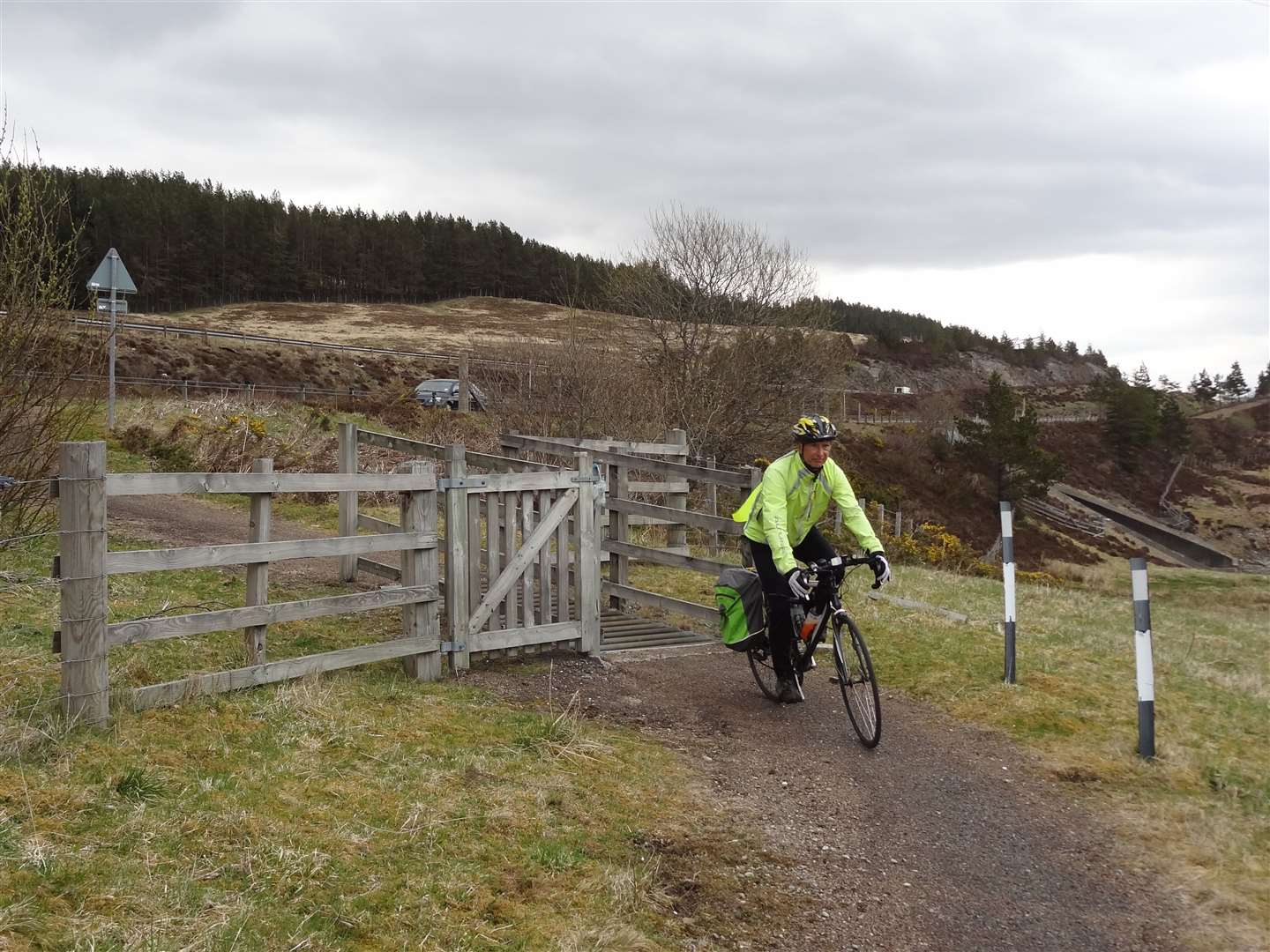
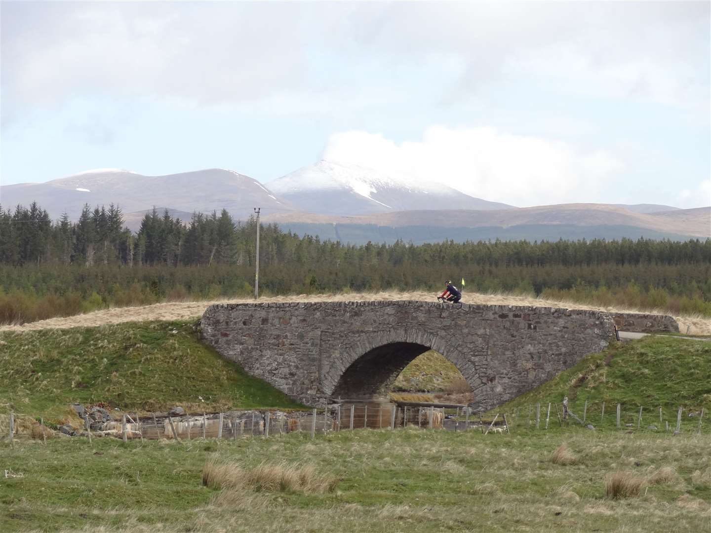
During an unusually cold, wet and windy May – in 2015 – my dad and I cycled more than 1000 miles, climbing almost twice the height of Everest in the process.
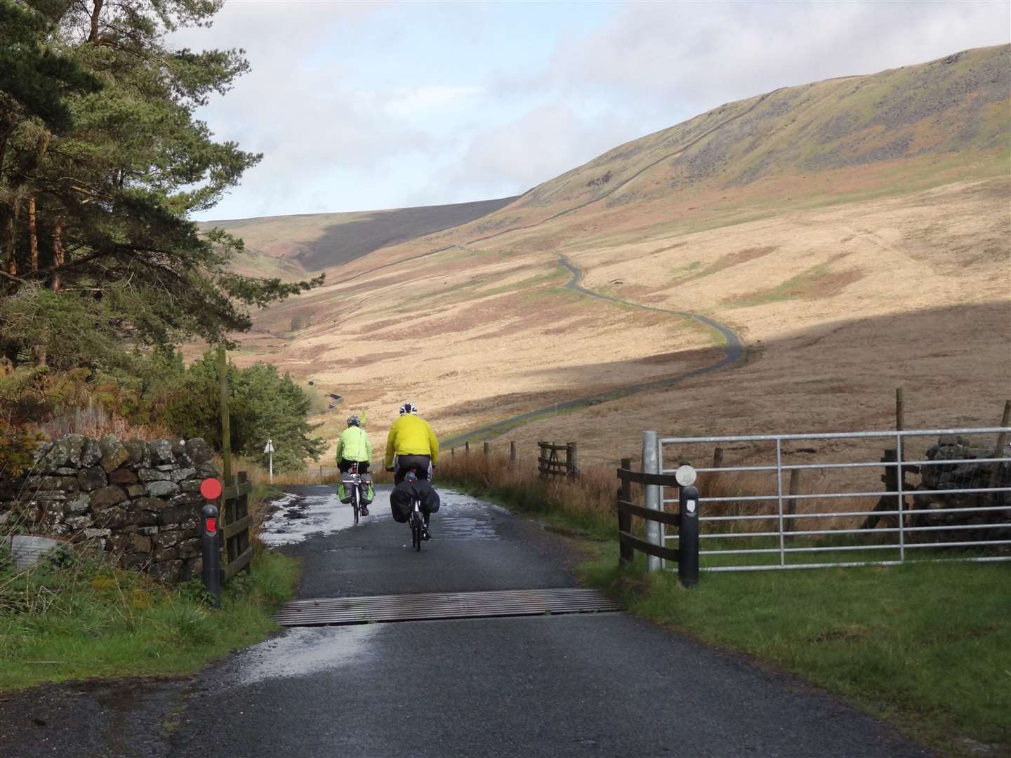
With around 18kg of weight – including full camping and cooking gear – on my bike that was no easy task. However, I'm pleased to say I pedalled every one of those hills, from the relentlessly steep climbs of Cornwall and Devon, through Wales and the stunning Forest of Bowland in Lancashire – an area I've never really explored despite having been brought up in the county – into the Moorfoot Hills south of Edinburgh and all the way through the Highlands.
Cycling is a wonderful way to see the world at a leisurely pace and this trip took me to places I'd never thought of visiting before, places I'd been as a child and more familiar places nearer to home.
I visited the street I lived for the first 18 years of my life and received a wonderful reception from old neighbours and friends. The village where my dad lives in Cheshire was out in force to welcome us as we passed through there and it was wonderful to reach Inverness and see my little girls after two weeks away – even with three days cycling still to go.
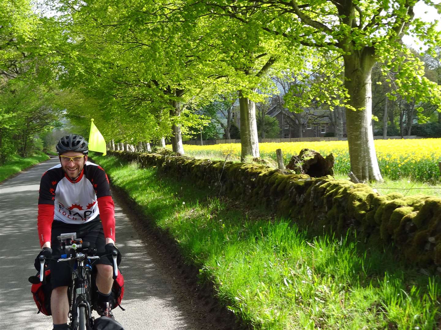
We were joined in stages by my two brothers, as well as a few other family members and friends here and there. Alan joined us for six days covering around 400 miles, something that just over a year ago would have been impossible for him. However, in that time he has lost around five stone in weight just by going out on his bike three or four times a week.
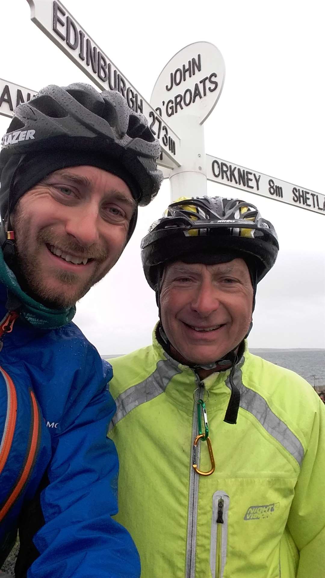
Iain rode the last three days with us and therefore was the man behind the camera at John O'Groats during a really cold and wet day, shaking to take the pictures as rain hammered the lens.
Cycling from Land's End to John O'Groats was a challenge enough for me, but more people have been interested in how my dad got on than me since I returned!
My dad was 69 at the time and, believe it or not, wasn’t a regular cyclist. He's fit for his age but is more of a runner, so we planned a schedule that we hoped would work for us both. The fact he lives in one of the flattest parts of Britain didn't help with his hill training, though!
He took his time on the hills, walking the steepest ones in the first week, then we had some support from a friend of his for the second week, which helped when dad was carrying less gear.
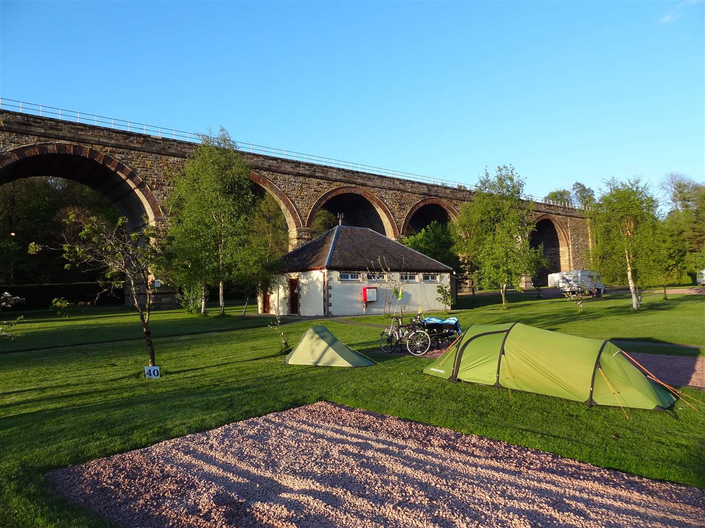
I was determined to do my own thing, so continued to carry most of my stuff in the four panniers I use on cycle tours. I have a system, with the back bags split into one for wet gear (usually the tent) and one for dry gear (sleeping bag etc), and the front bags being a "day" bag for food and layers of clothing and an "evening" bag for spare clothes, wash kit and so on.
The route was another major part of my planning. I had spent a lot of time perusing maps and taking advice from people who had done "Lejog" before. We wanted to enjoy the ride rather than do it as quickly as possible, so my challenge was to find the best route while keeping it as direct as possible.
I did this by marking certain places on the map, such as my dad's house and my house, and major crossings including the Severn Bridge at Bristol and the Forth Road Bridge at Edinburgh, and drawing a straight line between them. Next, I looked to find the quietest and most scenic route as close to these lines as possible.
With the route mapped out, it was a case of following it turn by turn - using, I should add, paper maps printed out from the software I use for mapping on my PC. We were asked by a group of cyclists in Somerset if we were using paper maps or GPS to navigate and they seemed quite satisfied when I showed them my laminated paper maps on my handlebars!
- My Outdoors Q&A: Andy Howard
- Marathon effort required to help tourism bounce back
- More news, reviews and features from Active Outdoors
I also used the excellent Spokes maps for navigating the National Cycle Network route into and through Edinburgh. It was well signed - only one sign led us to a bit of confusion which was easily rectified using the map - and follows some fantastic off-road sections including the Innocent Railway path and Roseburn and Blackhall paths.
We rode an average of just over 60 miles a day, varying from around 40 miles up to 89 miles in a day, staying at campsites, youth hostels and the occasional B&B.

Our approach was to treat each day like we were going for a bike ride, rather than thinking of the end point. It's much easier to say "we've done 60 miles today and we'll do 60 tomorrow" than "we've done 60 miles and there's still 800 to go"!
It's hard to sum up what the experience was like; there were so many places to see, such glorious scenery and amazing wildlife, friendly and supportive people along the way and generous touches from strangers.
At one campsite we duly paid our £6 each fee, only to be given half of it back to put towards our supported charities. I was raising money for the Special Care Baby Unit at Raigmore Hospital in Inverness and my dad for The Christie cancer research hospital in Manchester and the Junior Diabetes Research Foundation. The next morning the man at the campsite came out and gave us another £20 to our funds.
The cycling was excellent, despite the hassle I got for the number of hills I included in the route (that's the compromise if you want to avoid the main roads), and over all those miles we didn't suffer a single puncture between any of us.
I like to think that was down to the careful planning and getting my touring bike in shape before setting off, too. It was certainly a well-planned journey, and well executed too. An adventure or not, I'm already thinking about the next two-wheeled trip.
Route details
Land's End to John O'Groats
Distance 1064 miles / 1712 km
Terrain Mostly on road with some well-surfaced off-road sections
Start/finish Land's End / John O'Groats
Map OS Landranger series via Memory Map
A 17-day End to End ride following mostly country lanes and quieter roads