


Braemar walk around Creag Choinnich
Register for free to read more of the latest local news. It's easy and will only take a moment.

I love a cheeky autumn mini-break so a friend visiting from afar was the perfect excuse for a night away in Braemar, somewhere I normally consider a day trip.
This was Camilla’s first visit to Deeside and she had already planned a return trip before we’d even got there, after seeing the vista that opens up from the top of Lecht pass; the high peaks of Lochnagar and the eastern Cairngorms a perfect backdrop to the rolling moors below us.
We arrived in Braemar in the late afternoon, which gave us just enough time to walk a clockwise circular route around Creag Choinnich, a small hill just to the east of the village that promised plenty of interest and viewpoints.
From the A93, the route is signposted up past the church, with handy colour-coding – we knew that as long as there was yellow on the sign and the hill was on our right-hand side, we were probably going in the right direction.

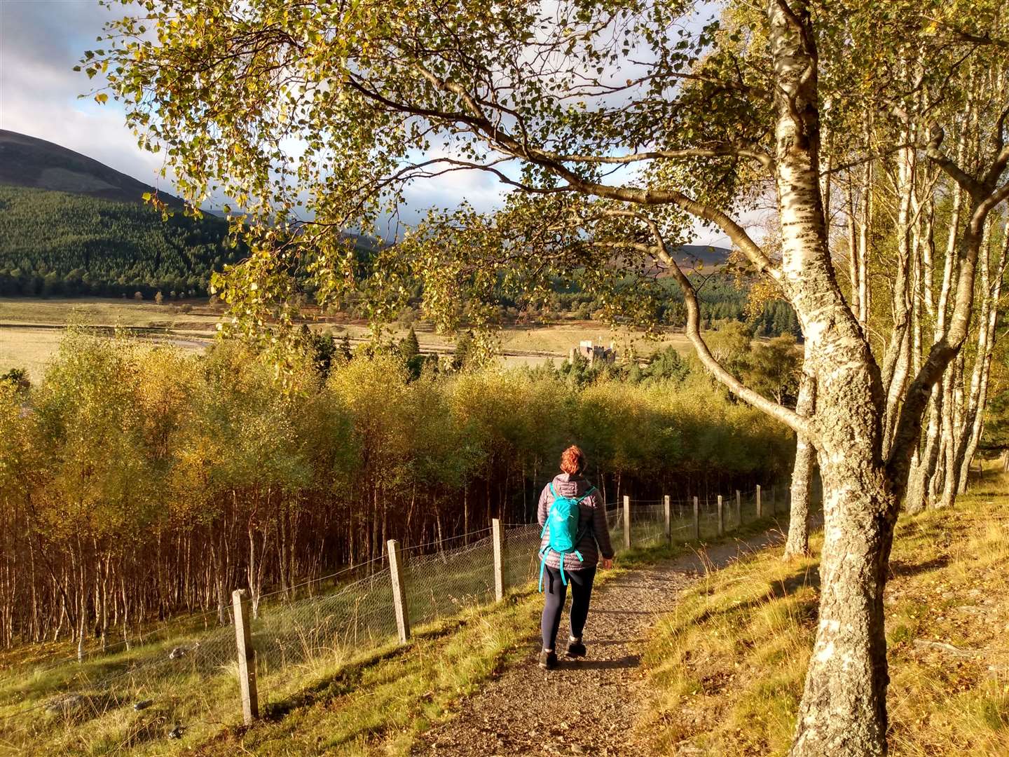
Following a minor road between houses we reached a gate into the pinewoods behind the village and took the middle of three paths on the other side of the gate, climbing up the hill on a wide path signposted for ‘Creag Choinnich and The Cromlins’.
Not far into the wood we were stopped by the sound of tiny claws on wood and watched as a trio of red squirrels chased each other in spirals up and down the trunk of a large tree, their energy and speed foiling any successful attempt to capture them on camera.
At the next junction, we turned left following yellow signs to contour around the hill, any temptation to follow the red route to the top of Creag Choinnich outweighed by the lowering sun ahead.
The path led through a gate onto a clear path and as the trees to the left finished we approached the Cromlins viewpoint. Looking into the setting sun, the view towards the Linn of Dee was spectacular and with so much to see it was easy to almost miss Braemar Castle just peeking out above the treetops to our right.
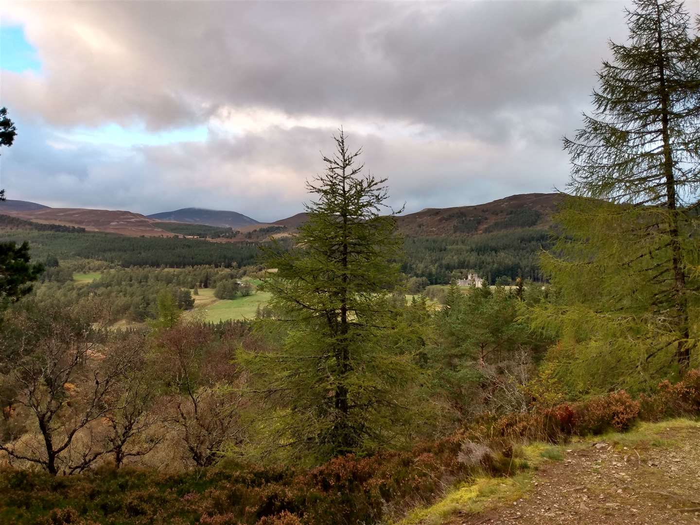
Beyond the viewpoint, the track descended towards the road and we passed through another gate to enjoy pleasant walking in the woodland despite the proximity of the A93 to our left. Visible between the trees, Invercauld House came in and out of view, standing in a commanding position above the river.
The house’s manicured lawns extended the gentrified influence of the house down towards the River Dee, although the large and abstract torso sculpture I know is in there somewhere remained elusive.
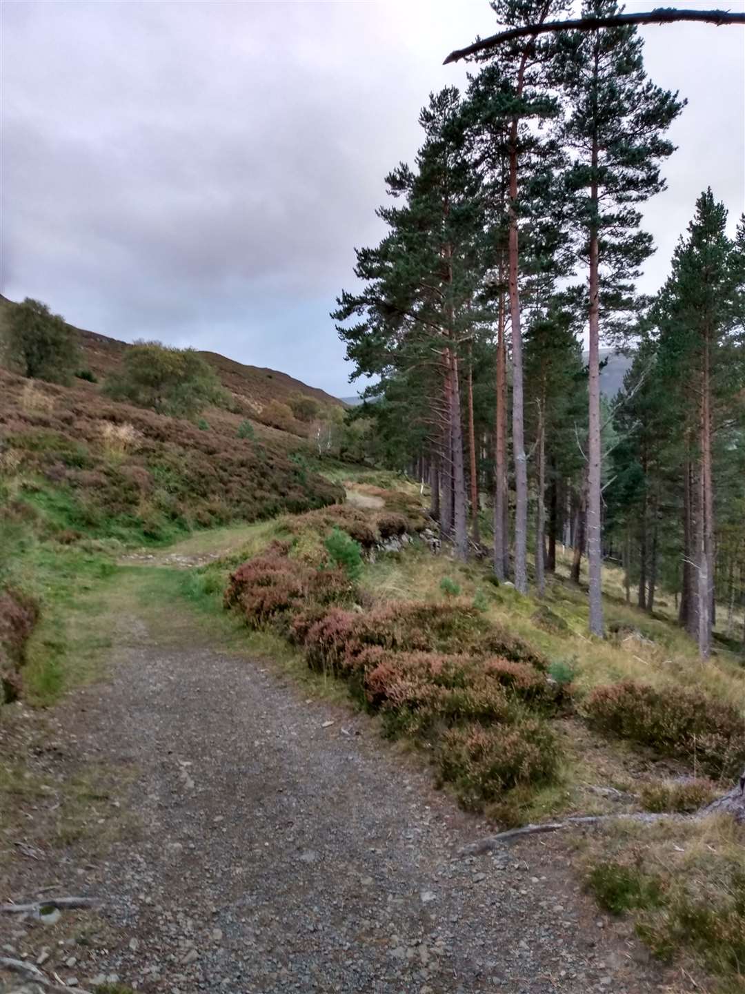
We entered an area where the forest is being felled and followed the path diversion to rejoin the track at the other side of the forestry work. The path then wound its way up the side of the hill at an agreeable pitch, and we arrived at the Lion’s Face viewpoint much quicker than expected.
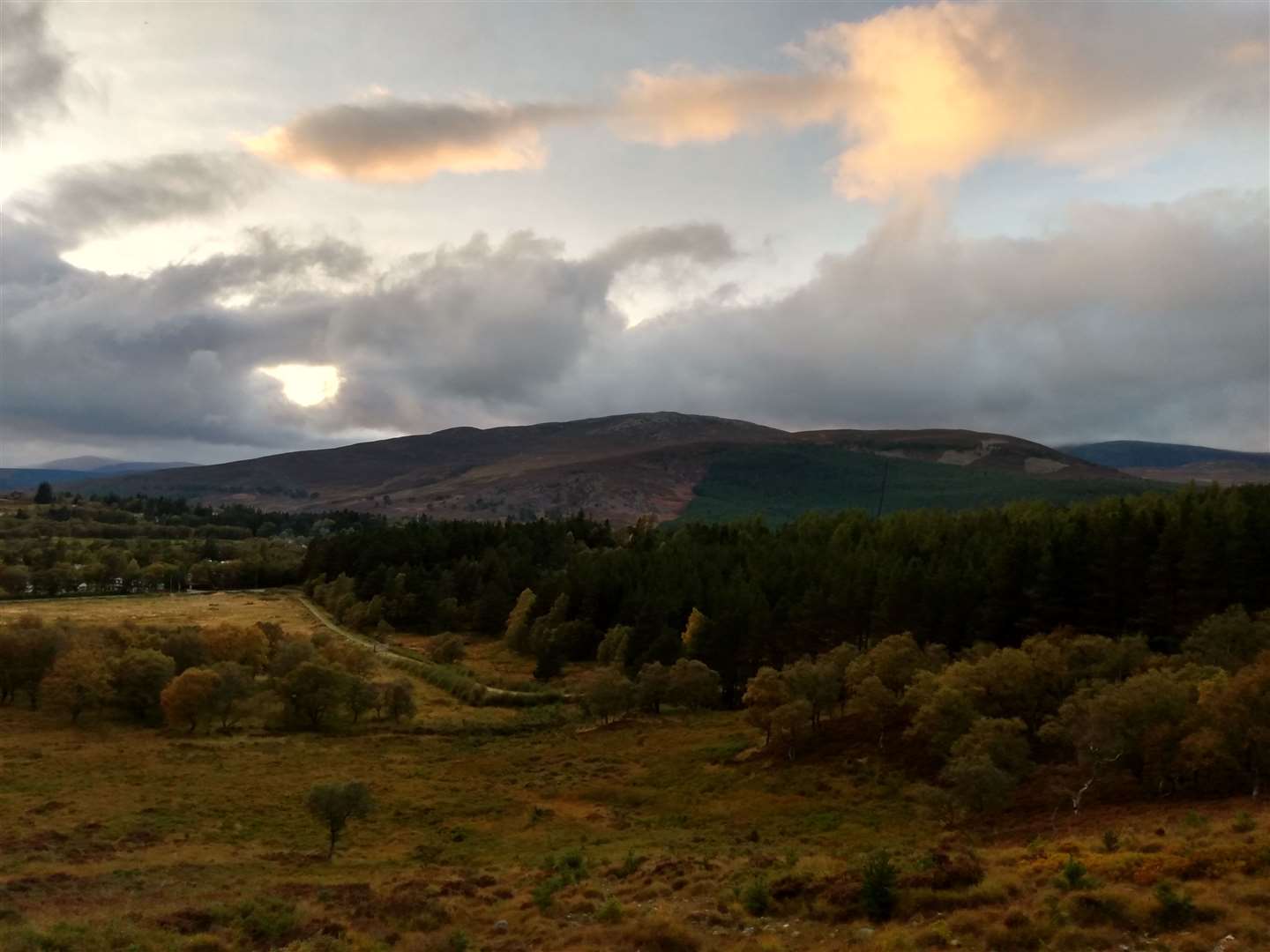
If you like a good view, this walk is a treat – this time the view looked north over Invercauld House, the green of the low-lying landscaped grounds contrasting with the brown heather-clad hillsides above. The viewpoint is located just before a col and, as we passed through it, the path widened out into an old but well-made track.
This is the Queen’s Drive, apparently a favourite carriage drive of Queen Victoria and part of the vast royal influence on this area of Deeside. Now ignoring the yellow sign pointing right down the hill off the track, we continued straight ahead, enjoying the views down over Braemar and of the hill of Morrone ahead.
The track dropped steadily down to meet the A93. Turning right along the road the way back to the village was made easy by a well-constructed path running parallel to it.
There is a whole network of clearly waymaked routes around Braemar that are highly recommended – it’s easy to mix and match where you go and a circuit of them around the periphery would make a good day’s walk.
A PDF version of the very helpful leaflet for the waymarked walks is available from the Cairngorms National Park website at https://cairngorms.co.uk/discover-explore/things-to-do/walking-trails/braemar-community-paths
Route details
Creag Choinnich circular, Braemar
Distance 4 miles / 7km
Terrain Clear paths and tracks throughout, well waymarked but keep a track of which sign you need to follow!
Start/finish Church on A93, near Braemar village centre.
Maps OS Explorer OL58; OS Landranger 43; Harveys British Mountain Map, Cairngorms and Lochnagar
A short walk from Braemar, with some ups and downs, that delivers on views and enjoyable walking