ACTIVE OUTDOORS: Spring in the step on woodland walk above Loch Ness
Register for free to read more of the latest local news. It's easy and will only take a moment.

Frogspawn, fungi and a potentially tricky ford made this nice little woodland walk something more memorable than it first appeared.
Situated on the hillside above the Loch Ness village of Dores, there’s no fanfare about the trails here. I’d noticed an occasional car parked at the end of the track towards the top of the MacBain hill – usually when I’m panting and puffing my way up on the bike – but not thought much more about it.
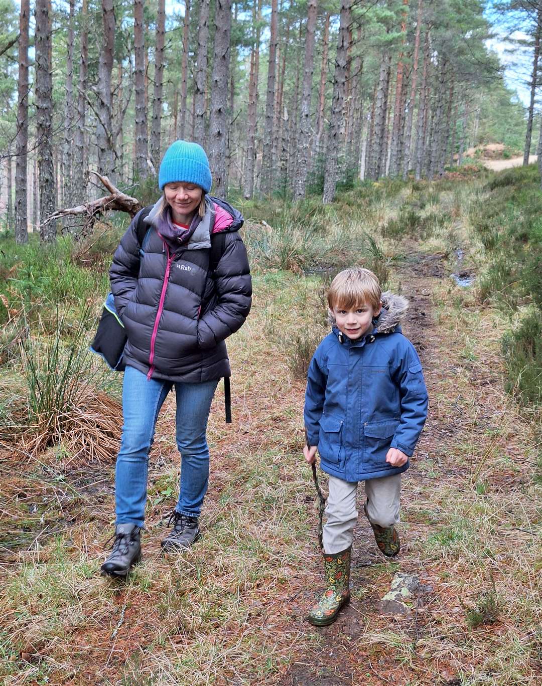
So when Meg suggested a walk here I let her lead the way. Ours was the only car left just off the side of the road, where there is probably room for two or three vehicles at a push.
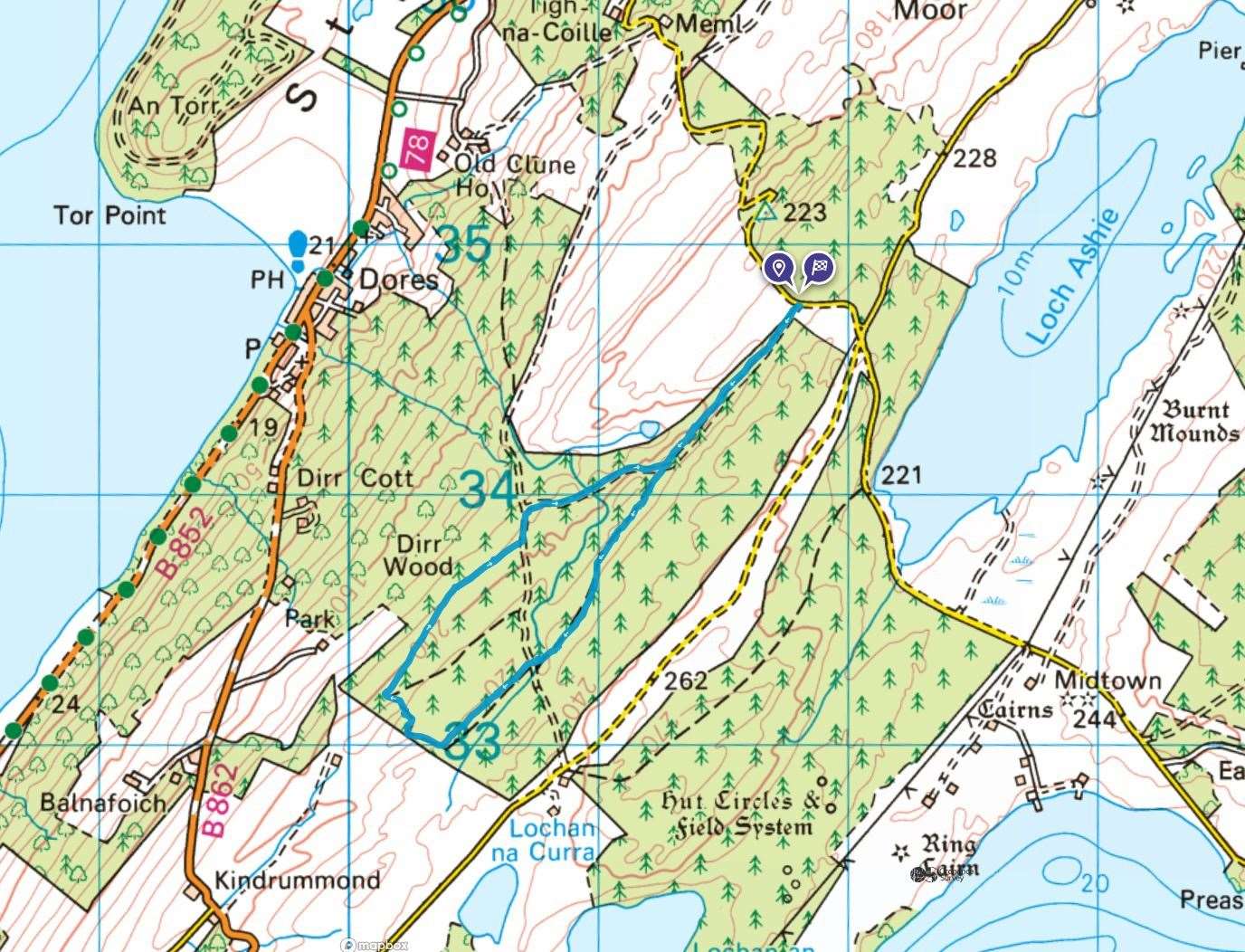
The walk begins by following the track, marked on the OS maps, south-west initially along the edge of the woodland. It’s an old forest track that is little more than a path, with wet sections that need to be skirted around after rain.
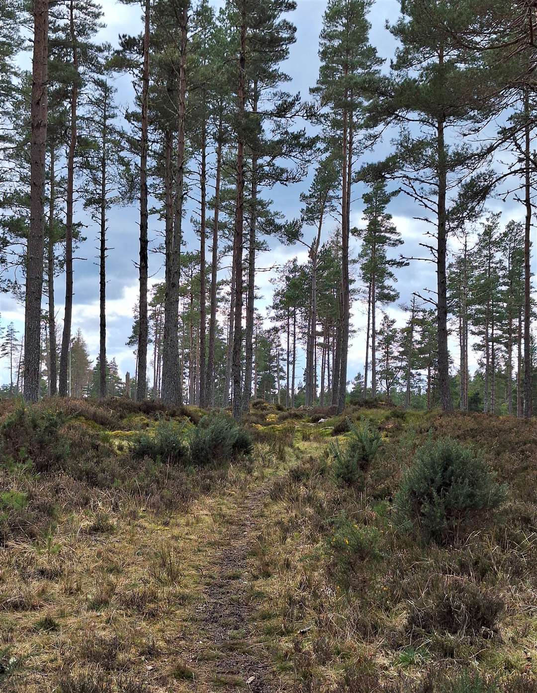
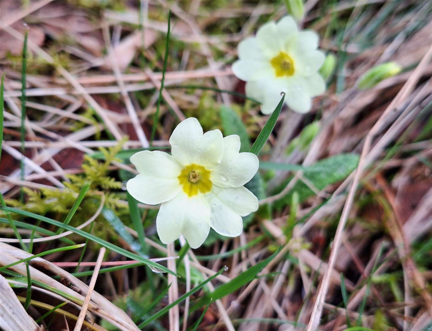
The pine plantation here is quite a pleasant spot, with plenty of space to allow the sunlight through, so the spring primroses were glowing on the hillside.
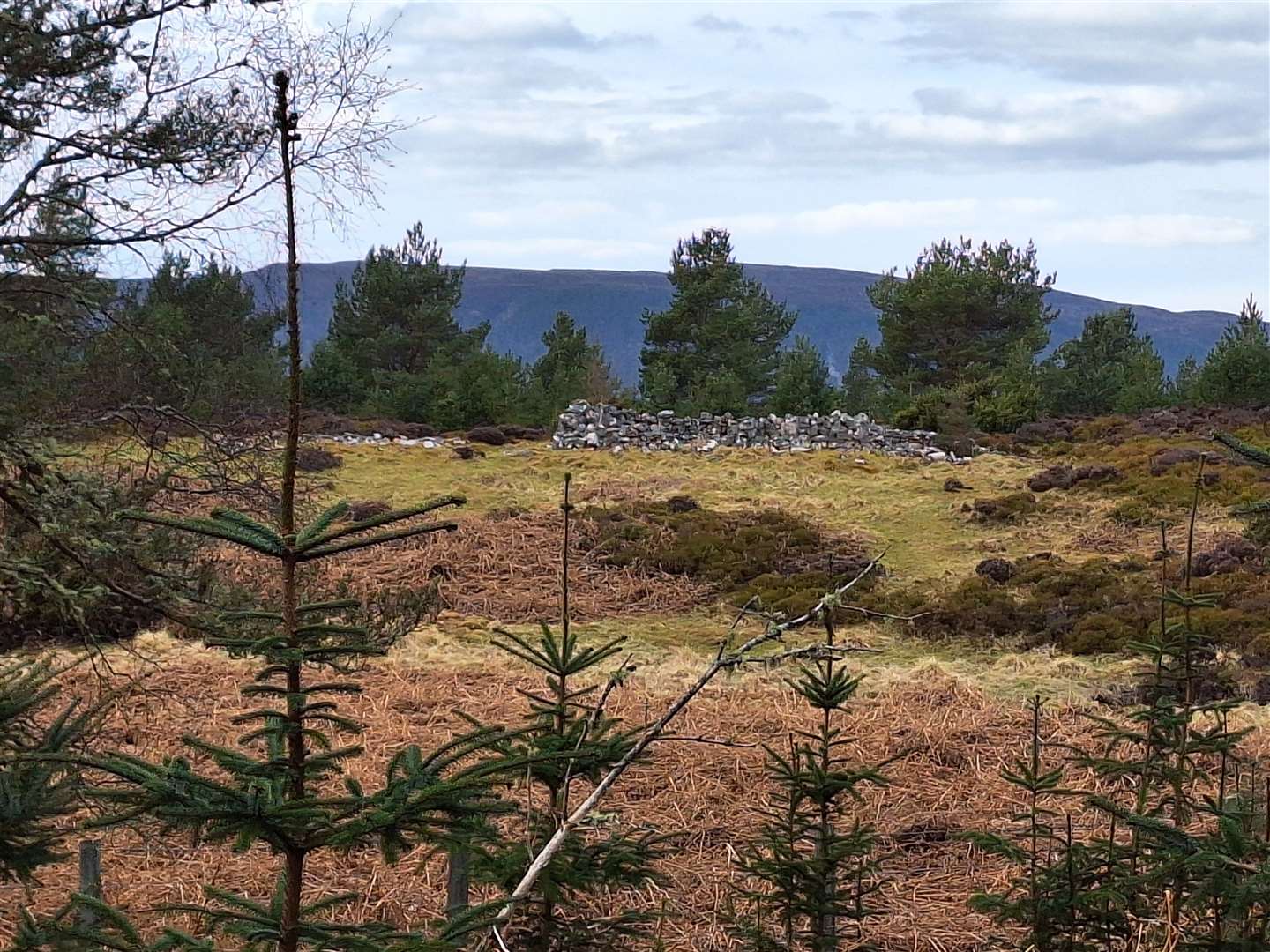
Reaching a cleared area, I noticed a ruin over on the hill to our right. This is an abandoned farmstead at Glaic na Ceardaich, which archaeological surveys have suggested may once have been a turf construction with a stone base. Further along, a body of water in the hollow below is an old mill pond with a dam and ruined sluice.
Our route maintains its height, merging with a newer forestry track which soon bends right to drop downhill. Before it does so, take the vague path straight ahead and enter another section of pine wood with another boggy path!
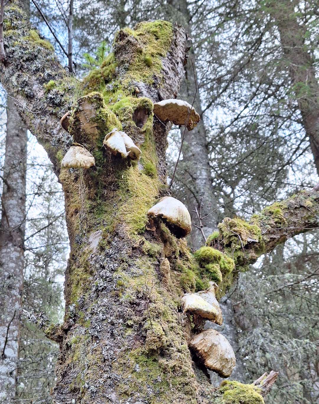
Lichens, mosses and fungi abound here, with young trees finding space to emerge too. There was lots of elephant’s foot fungus clinging to the trunks of old trees, while the sun came out to light up the beautiful primroses and give us a positive burst of spring. In one of the boggy pools there was lots of frogspawn developing, too.
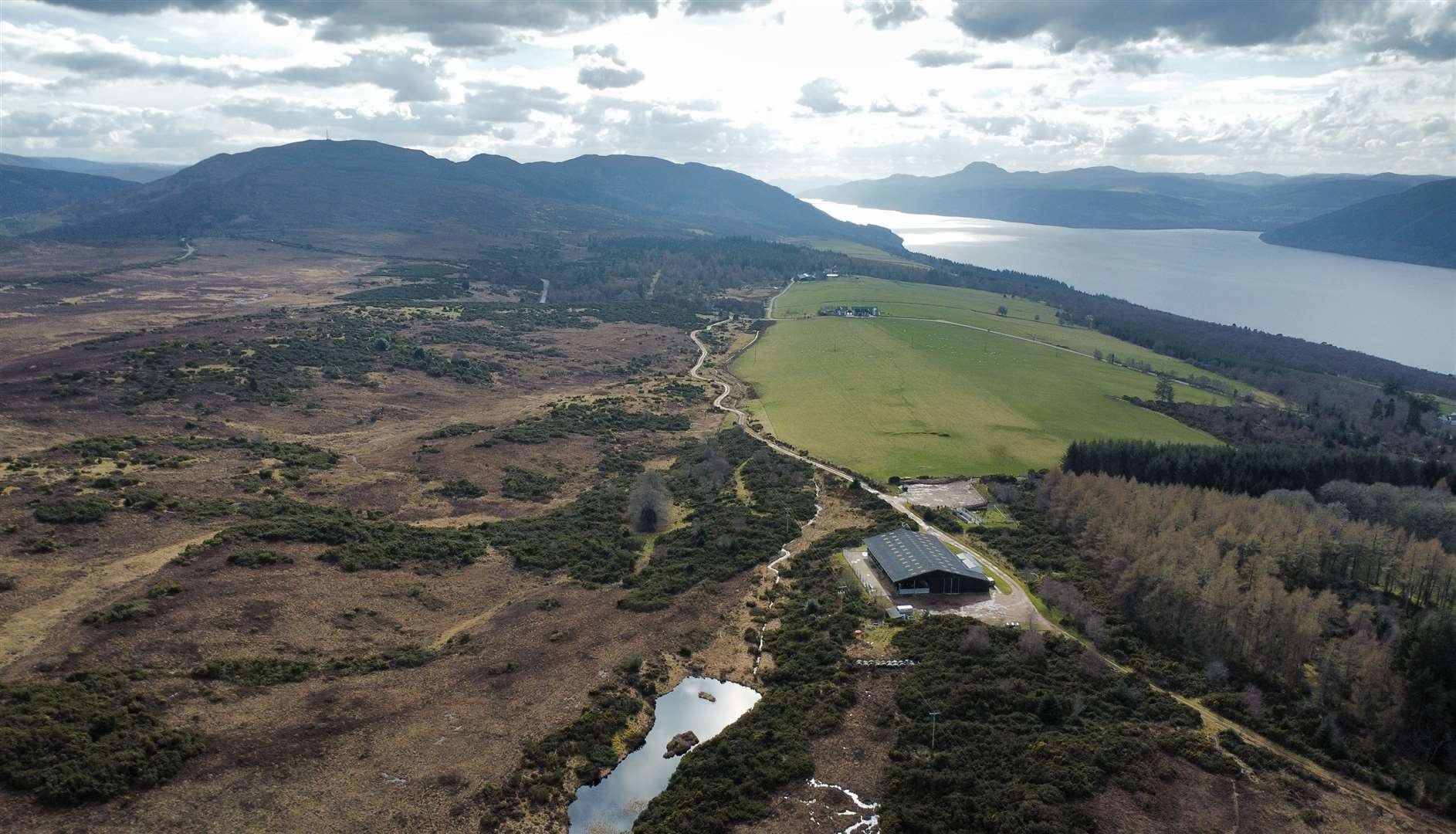
In a few years, it looks likely that these woods will be impacted by the development of the Loch na Cathrach Pumped Storage Hydro Scheme – formerly known as Red John. It will see tunnelling below the ground in Dirr Wood, along with access roads and a realigned public road to avoid the newly created upper reservoir that will store water to be used to create electricity when it is dropped through the tunnels into Loch Ness, 200 metres below.
Related articles:
• New high-level route at Abriachan forest opens up options along Great Glen Way
• John O’Groats Trail: Loth Burn bridge plans backed by mystery donor
• Take your time cycling the North Coast 500
New and upgraded paths and trails are promised but the development – which is scheduled for construction between 2026 and 2029 – will certainly change the landscape hereabouts.
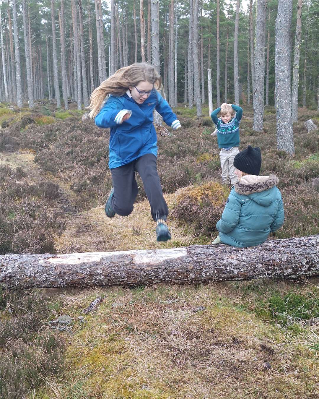
After crossing the Allt a’ Mhinisteir we reached a clear track, where we headed straight across to loop around Dirr Wood. This fun little narrow path led through an even more open part of the woods, where a fallen tree provided some hurdles practice for the children – and grown-ups!
There’s a view through the trees to Loch Ness as you approach the edge of the woodland, where the path bends right to drop downhill and soon cross a stony ford. It was shallow enough on our visit but can cause problems after prolonged rainfall.
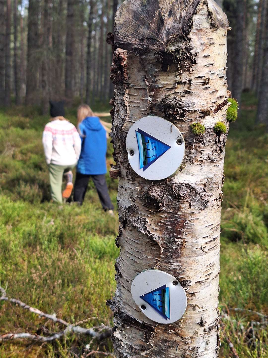
The path continues on the far side, bending right then left before passing through a little clearing to reach a track junction. You want to turn right here to follow the Trail of the Seven Lochs (T7L) which is marked on small wooden posts. Be careful not to take the furthest right fork at the junction, instead just sticking to the path that follows the telegraph poles through a wide gap in the trees.
Further along, the path forks again, though you need to look out for this one. We took the right-hand path, leaving the T7L and passing by a fallen tree to follow this route along a narrower gap through the woods.
This returns to the main vehicle track, where you go left to wander downhill for a short distance before turning right at a clear junction. This track leads back over the burn you crossed earlier – this time the water is diverted through a culvert below the track – then uphill to reach that first junction on the bend.
Follow it around to the left to return along the original path to the starting point.
Route details
Dirr Wood
Distance 3.5 miles / 5.5km
Terrain Boggy and uneven forest tracks and paths, some sections on forestry vehicle track
Start/finish Offroad parking close to top of the MacBain hill outside Dores at grid ref: NH618347
Map OS Landranger 26; OS Explorer 416
A nice forest walk close to Inverness that’s a little bit off the beaten track
Click here to see the route in OS Maps