ACTIVE OUTDOORS: Inverness Royal Academy pupils show resilience and self-reliance on Duke of Edinburgh Award expedition at Ardverikie
Register for free to read more of the latest local news. It's easy and will only take a moment.

The Ardverikie Forest is an area I’ve become more familiar with over the last couple of years, and this was another opportunity to explore some of its wilder corners.
Lying in an area that contains some remote and rugged mountains, a trek through here is no walk in the park. The mammoth of the mountains must be Ben Alder, at 1148m, a huge bulk of a hill separated from a ridge of four Munros by the Bealach Dubh.
Beinn Eibhinn, Aonach Beag, Gael-Charn and Carn Dearg all provided a dramatic backdrop to this walk, along with the trio of slightly more accessible Munros, Beinn a’ Chlachair, Gael Charn (a different one) and Creag Pitridh.
I have walked these latter three, but the row of four are on my to-do list as part of a trip which I hope will include Ben Alder and its neighbour, Beinn Bheoil above Loch Ericht, as well.
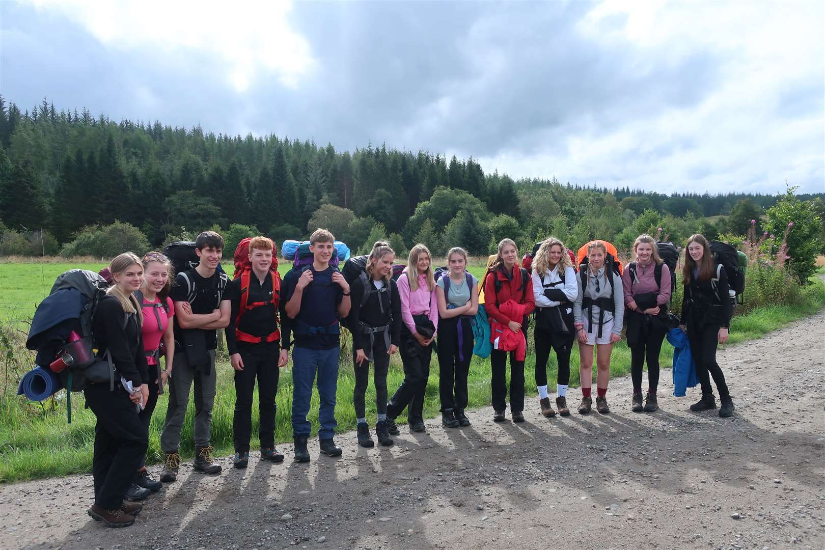
This time, we wouldn’t be climbing to such heights, though. A group of Duke of Edinburgh Award students from Inverness Royal Academy had planned their silver expedition in this area and I was asked to help supervise them on the trip.
Their route took advantage of the excellent estate tracks here as well as some of the stalkers’ paths that are still in use today – which we know as we saw a stag being taken off the hill during our first day.
I was writing recently about an estate elsewhere putting up stalking signs with little to no useful information – the situation here is quite the opposite. I have always found the estate a welcoming place and their signs are produced exactly as required by the Scottish Outdoor Access Code, including contact information and even a little bit of history about stalking in the area.
Seeing the dead stag did spark some interesting conversations with the pupils about the whys and wherefores of shooting deer to control the population and allow forestry to regenerate, as well as for economic purposes.
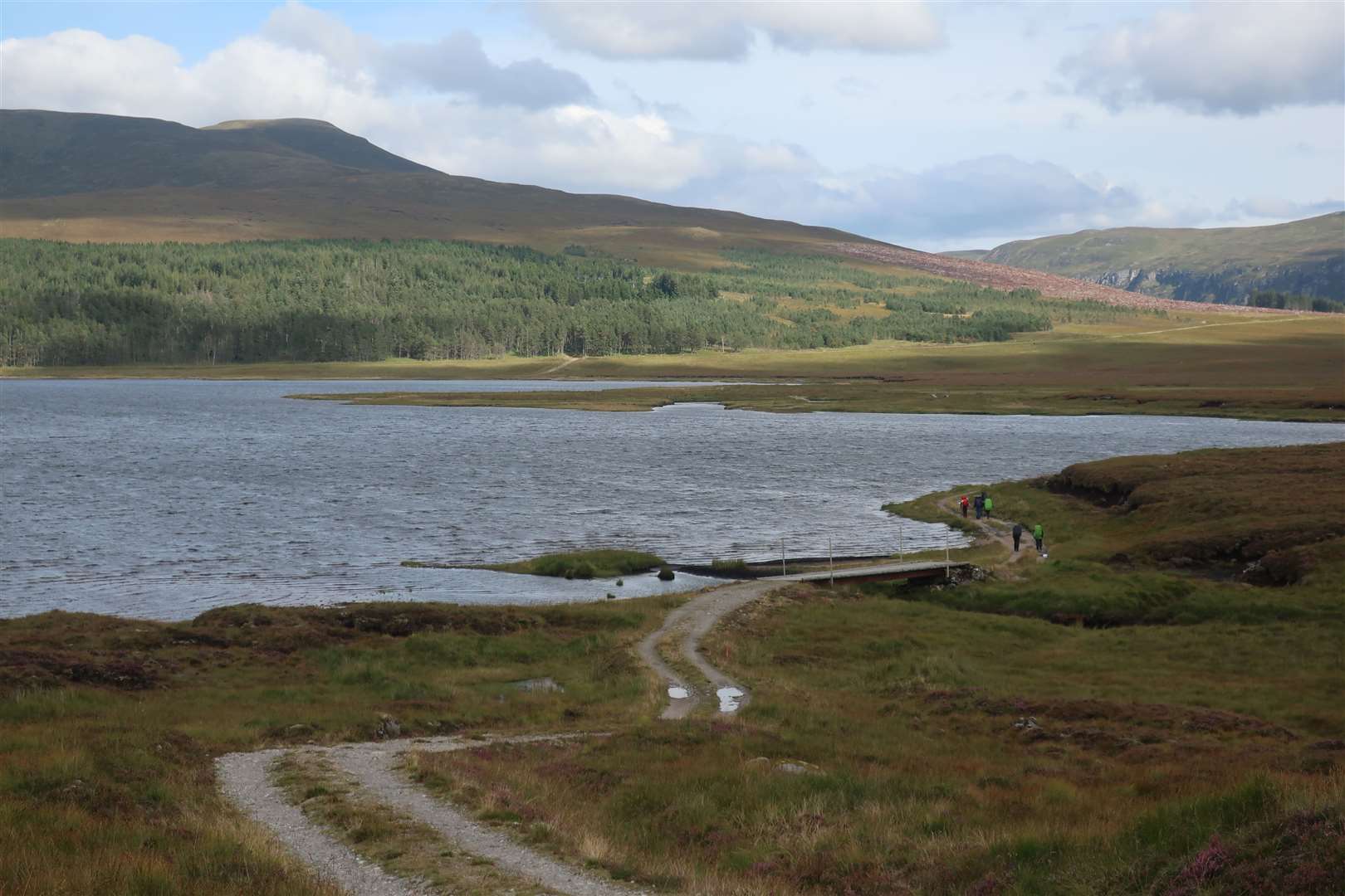
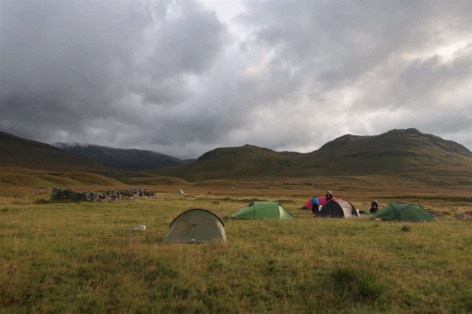
The three-day hike had begun at the estate entrance close to Inverpattack Lodge, where a short track leads to a bridge over the River Pattack. The route for the first day would see the youngsters head south-west through the forest to emerge beside Lochan na h-Earba, then continue below Creag Pitridh to the far end of the loch. From there they would follow tracks to reach the Allt Cam at the ruin of Lubvan.
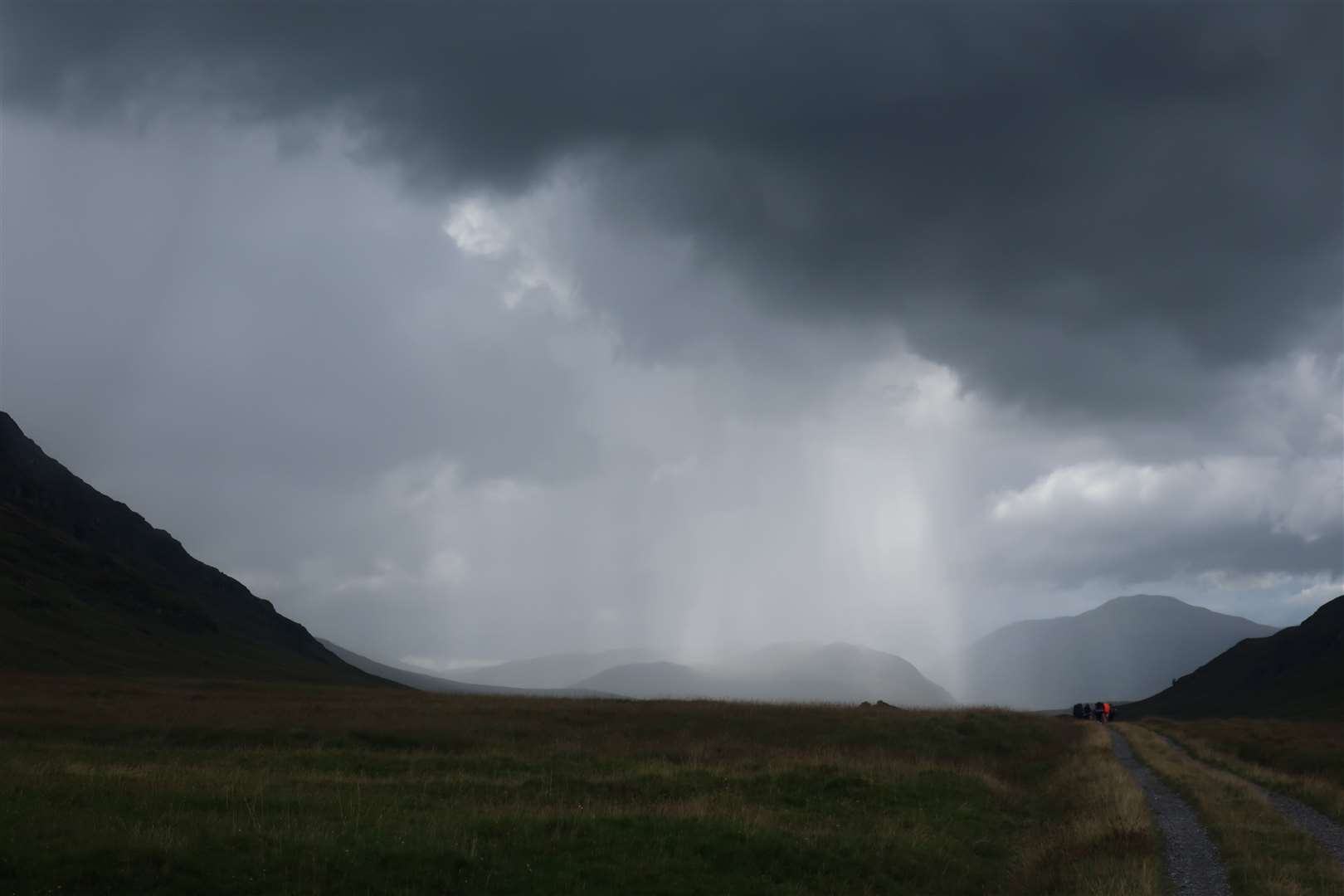
This was a long 12 miles with heavy rucksacks on. The forecast had been for possible thundery showers but it was bright and sunny for most of the way, until we reached the south-west end of the loch, when we got caught in a downpour.
It soon passed and we marched on to the camping spot, a lovely place to enjoy some recuperation before a challenging second day.
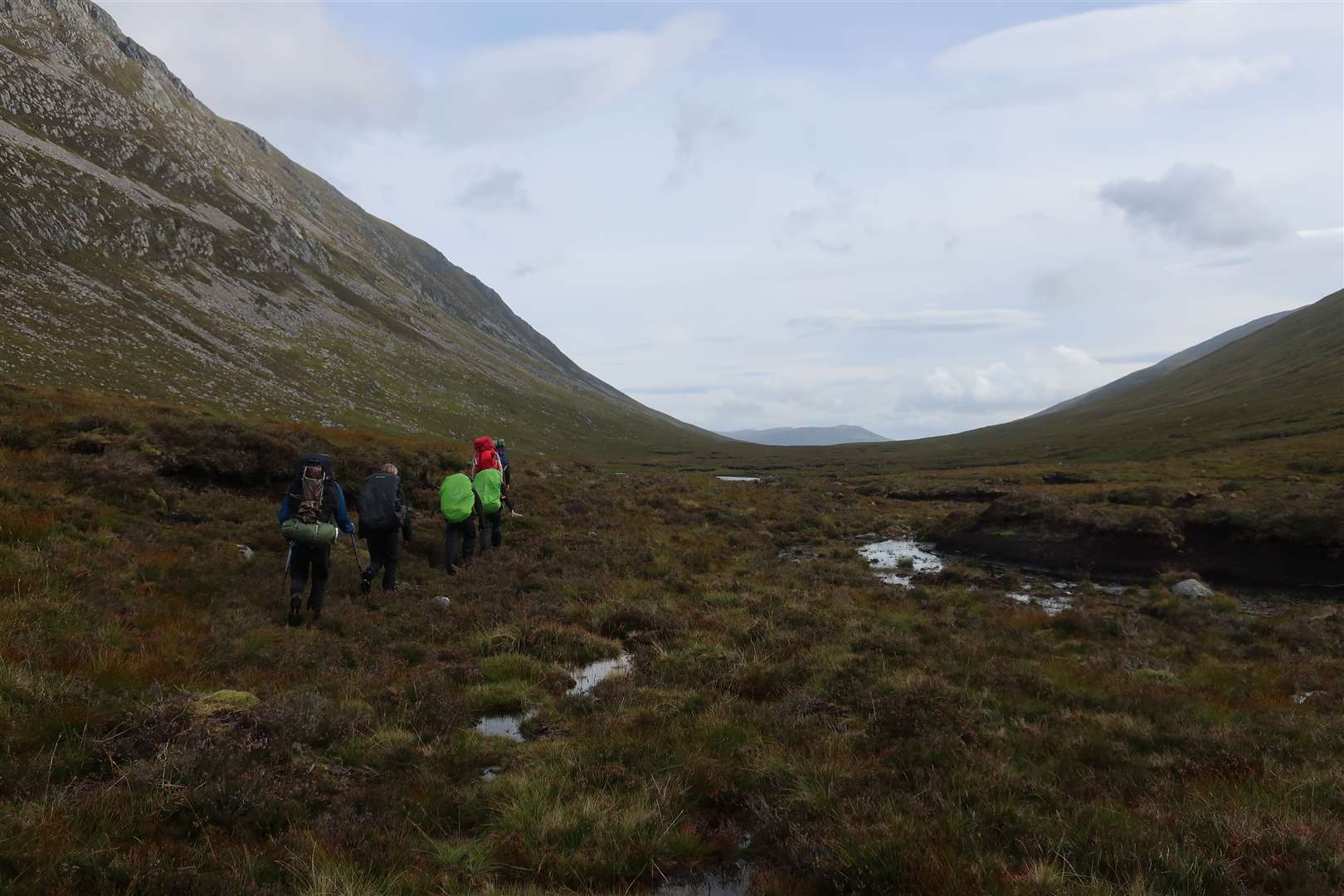
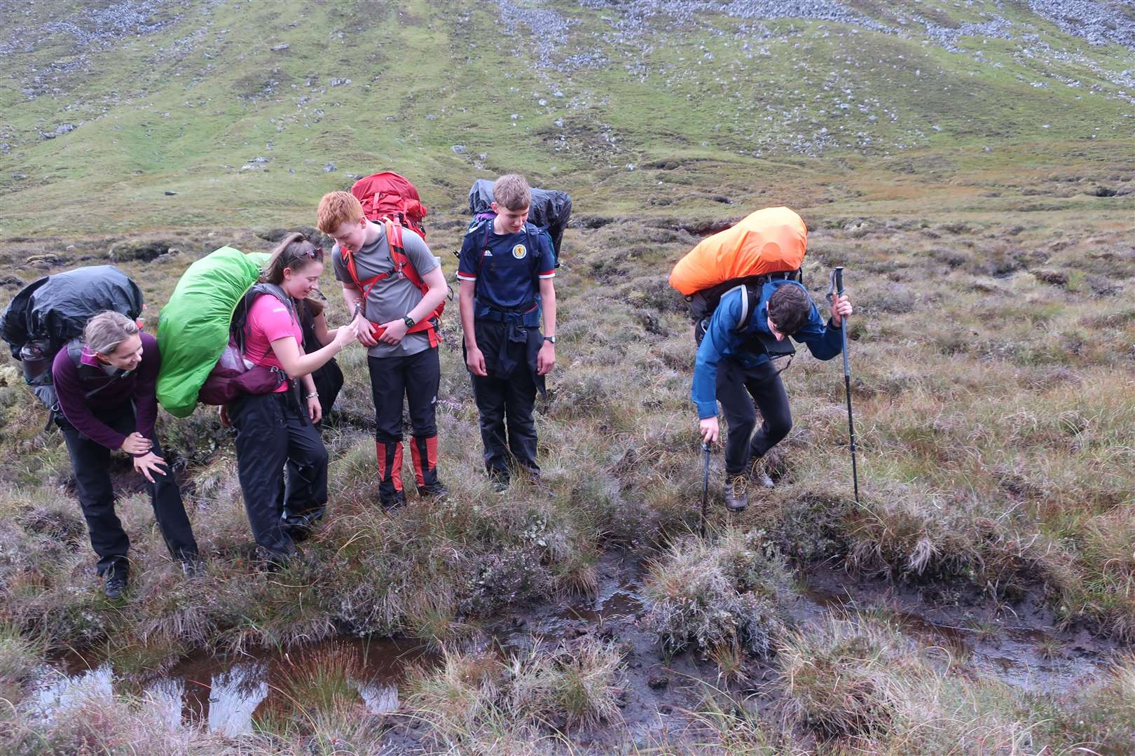
This would see the pupils climb beside the Allt Cam and follow a pathless section into An Lairig, behind those four mighty Munros. We split the crew into their two groups with a supervisor each, and kept close by them through the peat hags, across the burn and slowly but surely to meet up with the improving path that leads north-east alongside the burn.
I was impressed by the resilience of my group as they made their way through this difficult section, and they seemed to enjoy the remoteness of the situation. There was no mobile phone signal here, and it was some way until we met any vehicle track again.
A few of them, clearly already keen on the great outdoors, showed superb navigation skills here and could even pinpoint our position based on the contours.
Experiences like this, where young people have to be self-reliant and are removed from day-to-day distractions, are really valuable and are part of the reason why the Duke of Edinburgh Award is such a positive thing. It’s difficult to get this level of escape from the everyday these days, even in the mountains where there is increasing data and signal coverage in some areas.
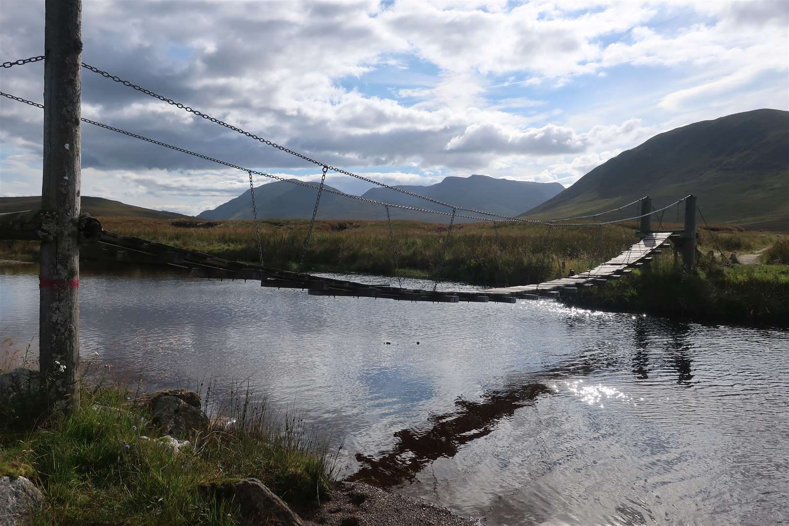
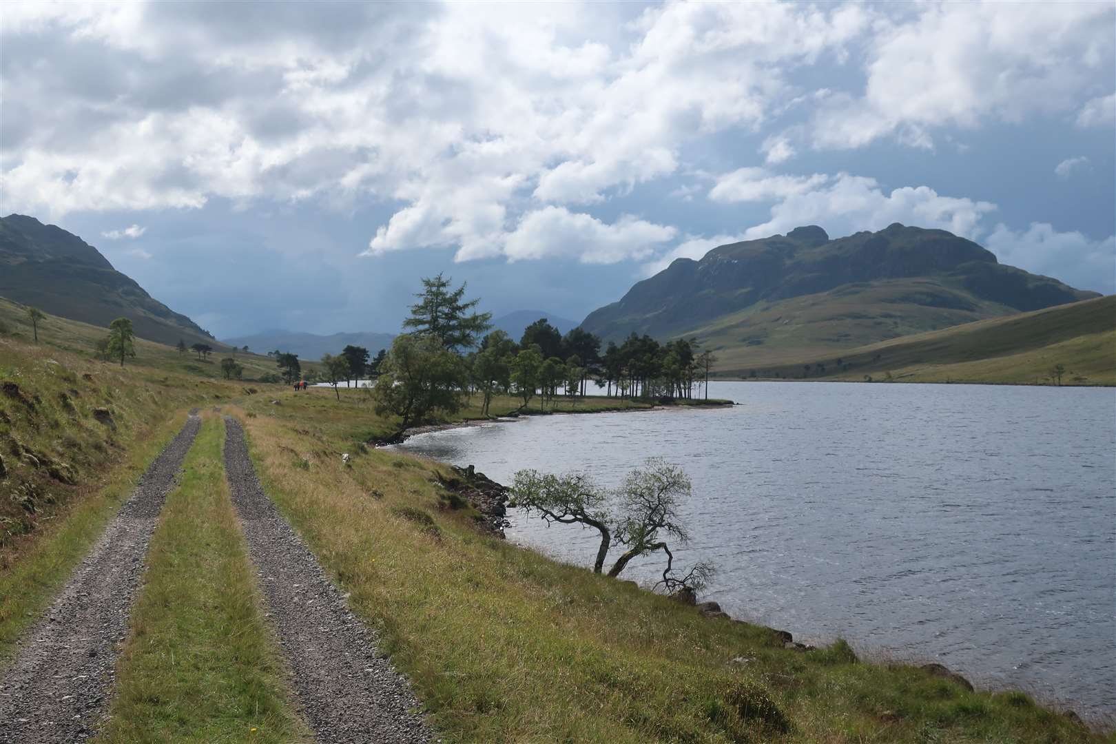
It was a relief to be walking at a pace again, once we had regained the path, and the pupils made their way to Loch Pattack, where a rickety bridge crosses the Allt a’ Chaoil-reidhe. The view up to Ben Alder is spectacular from here, but with just a few kilometres left to our next camp, they were eager to press on.
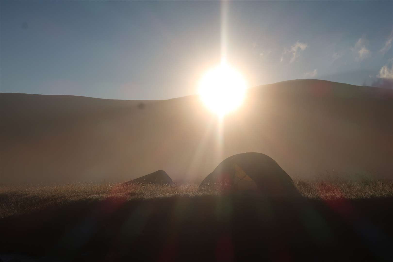
After a peaceful night camped by the river, watching the moon rise alongside Jupiter, we awoke to a similarly striking sunrise.
The final day’s walk was a straightforward plod alongside the pretty – despite some ongoing hydro work – River Pattack, back to the start point.
With some tired legs and aching feet, the children were pleased to be back. They had completed this long trek and had hopefully learned a few new things about the outdoors, their friends and themselves. It is certainly an experience they will remember for a long time to come!
Route details
Ardverikie DofE expedition
Distance 29 miles / 47km (over three days)
Terrain Estate and forest tracks, stalkers’ path, pathless section with burn crossing
Start/finish Inverpattack, Loch Laggan
Map OS Landranger 42; OS Explorer OL50; Harvey Superwalker, Ben Alder
A three-day backpacking hike through the Ardverikie Forest is challenging route for pupils’ Duke of Edinburgh Award expedition