In the wake of salmon and sheep on Lochinver loop to Glencanisp
Register for free to read more of the latest local news. It's easy and will only take a moment.

Inspiration comes in many forms. An unexpectedly bright afternoon, the backdrop of Suilven, Canisp and Quinag, and a free few hours to make the most of it.
But more than that, running through open land, passing partially buried remains of walls that once made up houses, people's homes, before they were cleared from the land to make way for sheep. That injustice might never be undone, but here in Assynt the community really are leading the way in deciding their own future.
The Assynt Foundation bought the Glencanisp and Drumrunie estates in 2005 as part of a community buy-out scheme, at a cost of £2.9 million – the first major landholding purchase after the Land Reform Act came into being.
The company owns 18,000 hectares of land including such iconic mountains as Suilven, Canisp, Cul Mor and Cul Beag, and manages the estate for the benefit of the community and the public.
Now that is what I call inspiration.
I set off for a leisurely run from Lochinver, heading north-east to pass the famous pie shop. Thankfully there were no enticing smells emanating from within at this time of day, so I wasn’t diverted from my mission!
Ignoring a road off to the left, a little gate a short way ahead on the right-hand side of the road, immediately before it crosses the River Inver, leads onto a lovely little riverside trail.
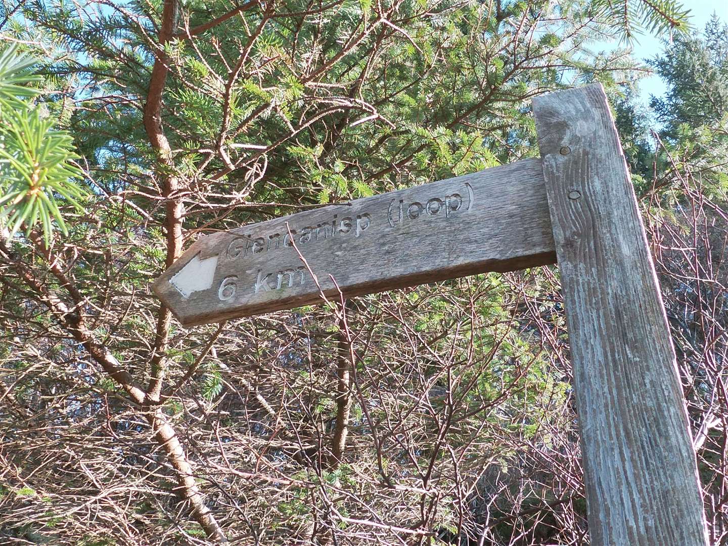
Hidden among the branches above is a wooden signpost marked as “Glencanisp (loop)”. I went through the gate and made my way along the intricate little path, which meanders alongside the river through bare branches of birch trees and across long-standing walls.
The river is quite dramatic initially as it tumbles over rocks and through white-water pools, a real test of stamina for the salmon that make it further upstream to the more sedate pools where anglers are waiting for them.
The path climbs higher above a weir then goes back to the side of the water, at one point following what almost act like stepping stones that edge a quiet pool.
Shortly beyond here I ran back out into the sunlight and ahead was the dramatic wall of Quinag straight ahead. It really felt like a turning point – in the seasons and in the sentiment. After a long, tough winter, that view in itself was enough to lift the spirits.

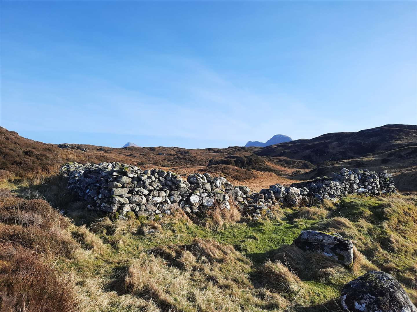
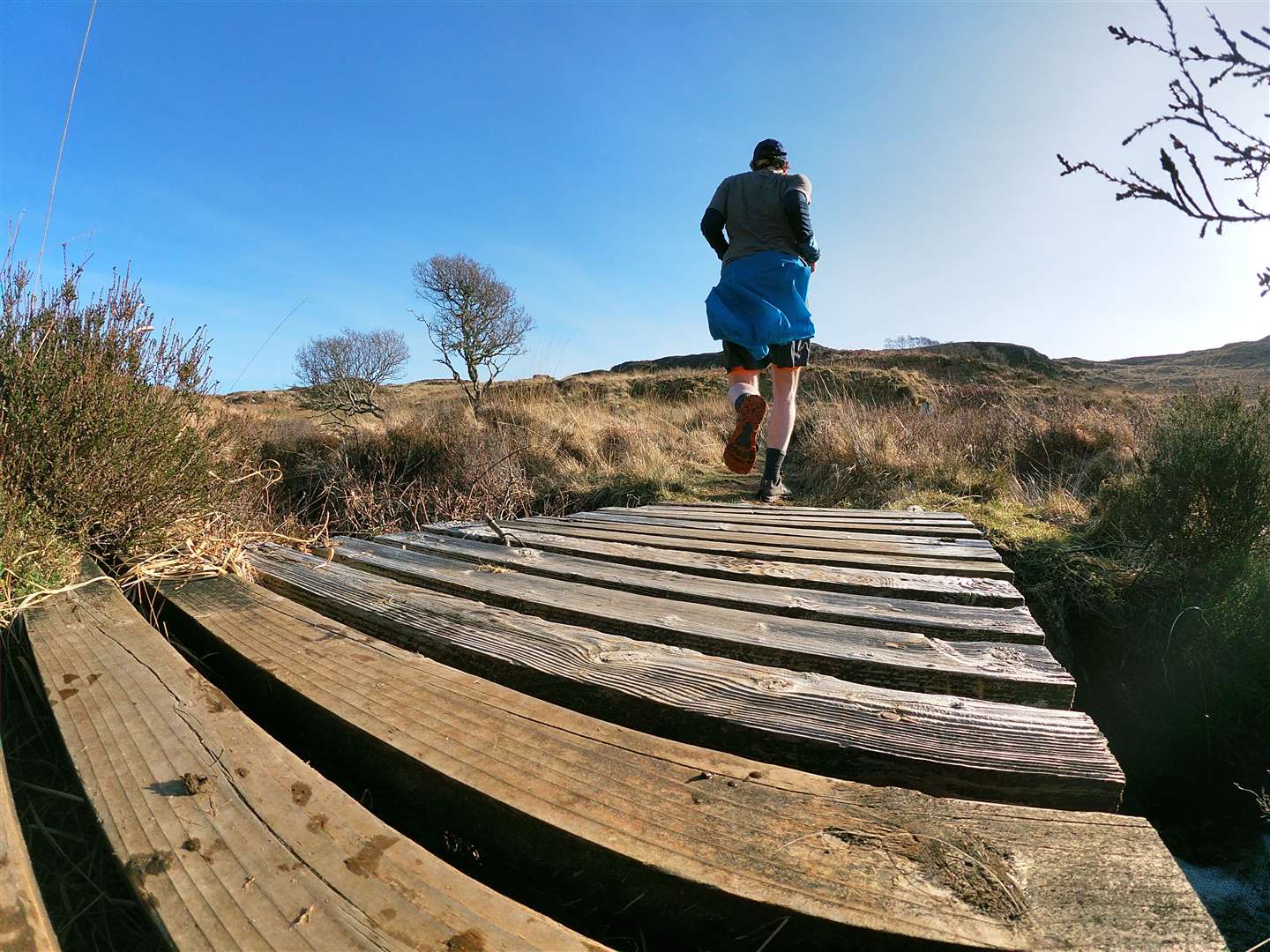
Approaching a wider part of the river with an island in the middle, a wooden post marks the turn away from the water and into the moors. A well-trodden path leads clearly through the grass and heather, gradually rising below Creag na Braclaich, over a footbridge and on to the cleared township of Dubh Chlais.
A number of old structures can be identified in the area, many largely submerged under layers of earth and plantlife that has long taken over. The old buildings here were studied in 2009 as part of Assynt’s Hidden Lives Project, which offers a fascinating glimpse into the past.
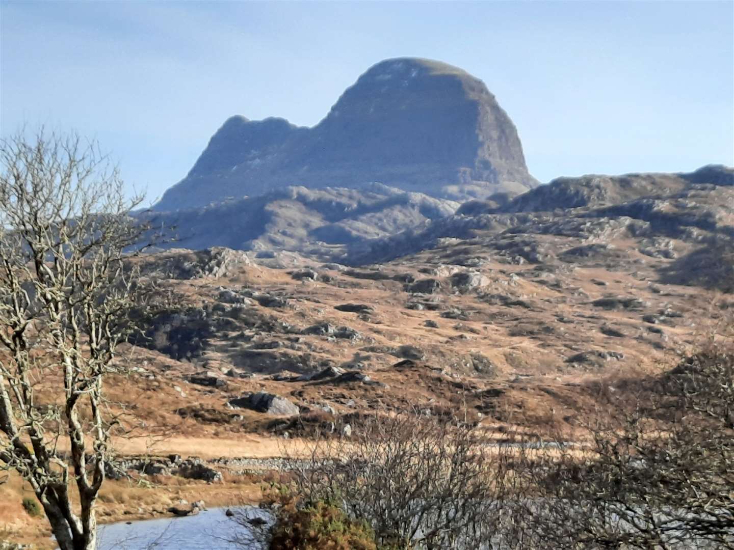
Looking ahead, Suilven is just peeking out above the horizon, tempting me onwards. Beyond the township, the route goes through a gate then turns right to follow a rising path, with a view back to Quinag and ahead more of Suilven reveals itself, along with Canisp.
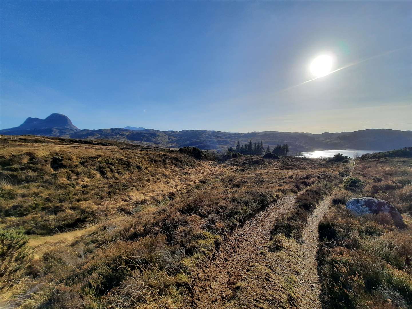
Over the rise and the path drops steeply with Loch Druim Suardalain laid out below, dotted with little islands and the sun gleaming off its gently rippled surface. I run down, enjoying the freedom and wanting it to last longer.
The path emerges at a well-situated outbuilding at Glencanisp Lodge, which is owned by the Assynt Foundation and rented out as accommodation. What a spectacular setting it is. I can’t help but edge a little along the route towards Suilven, just to get that tiny bit closer.
But I know there isn’t time to head all the way out there, so I stick to my plan and head back past the lodge, along the access road – initially beside the loch then through nice open woodland – joining the public road at a parking area.
A gentle run back to Lochinver is over all too soon, as I find myself heading back past the village hall to my starting point, part of me tempted to carry on and do a second lap of this wonderful little Sutherland circuit.
Route details
Glencanisp loop
Distance 5 miles / 8km
Terrain Narrow paths with rocks and roots, gates, estate track, surfaced road, pavement
Start/finish Lochinver
Map OS Landranger 15; OS Explorer 442
A nice loop into the edge of the Glencanisp Forest in north-west Sutherland