ACTIVE OUTDOORS: Getting back to nature in the heart of the city
Register for free to read more of the latest local news. It's easy and will only take a moment.

With wide open spaces, dramatic mountains and vast areas of remote land across the Highlands, it’s easy to forget that there are special places closer to home.
The pandemic might have forced us to think of going for a walk from our doorstep, but old habits of exploring further afield have quickly returned.
However, winter is a great time to think about what we can see without the need to travel as far – and with disruption to public transport and the increased cost of fuel, it makes sense to think local too.
I’d been thinking about some of the walks I’ve enjoyed around my home town of Inverness over the years, and this route is ideal because you can start in the heart of the city and soon find yourself immersed in nature.
Along with a number of other trails that start in the Highland capital, the route is outlined on the numerous Paths Around Inverness boards that can be seen. I began at the board at the end of Huntly Street, beside the footpath just south of the Friar’s Bridge.

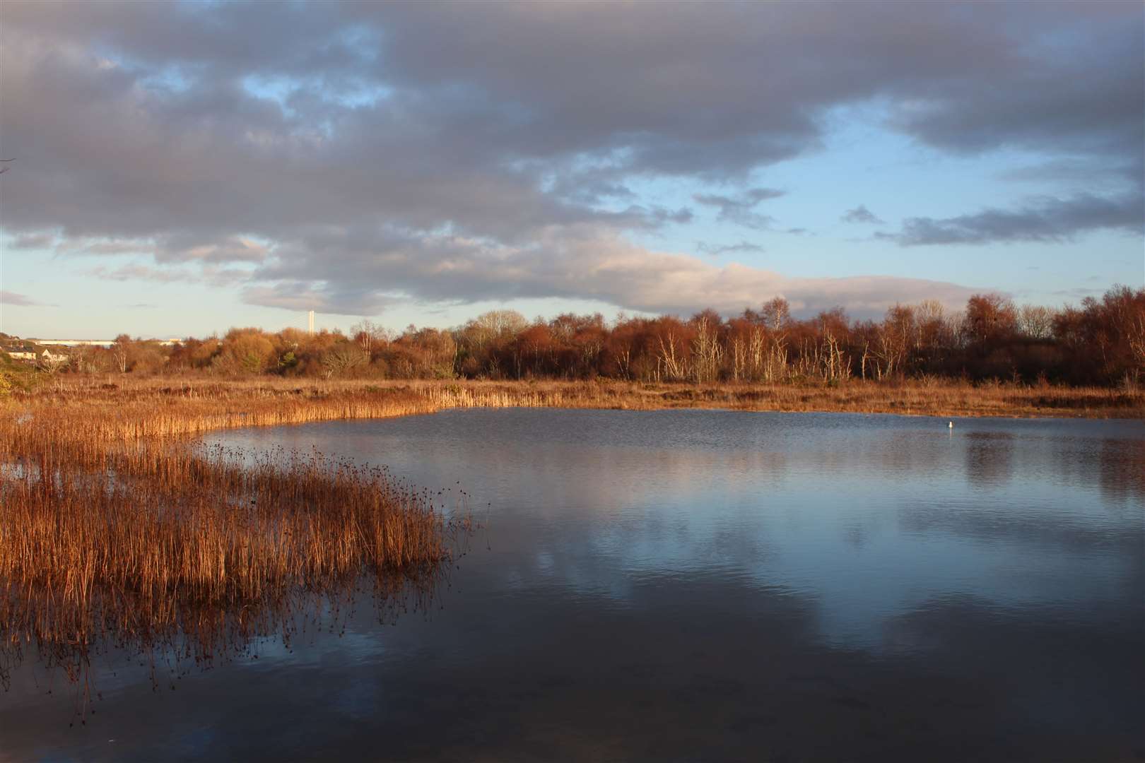
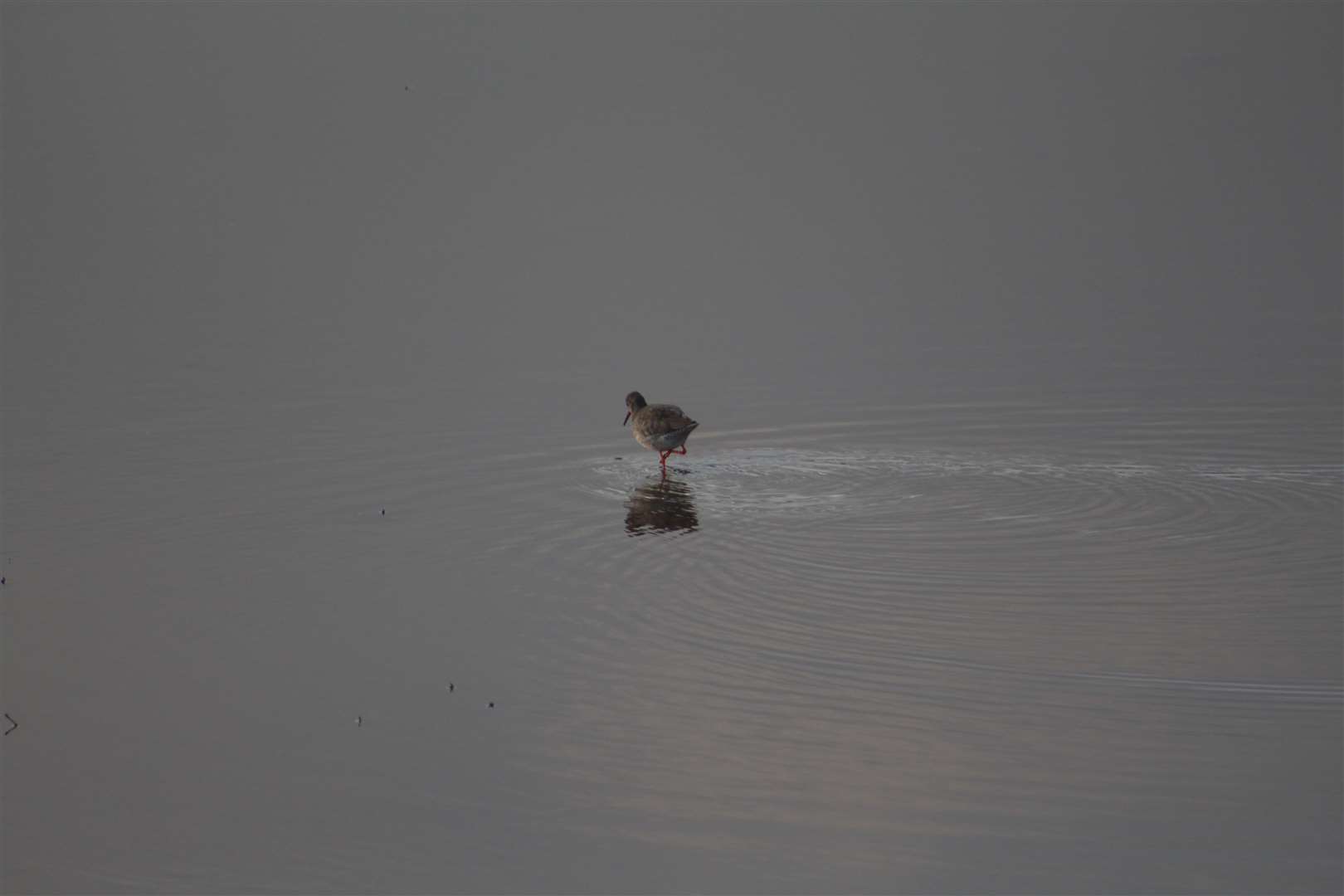
The trail leads to the Merkinch Local Nature Reserve and the Caledonian Canal, and offers a chance to spot plenty of wildlife, including wading birds and even kingfishers, otters and seals, if you’re lucky.
A number of improvements have been made to the reserve over recent years, and Caroline Snow, the project manager for the LNR, said you can spend hours there just “meandering about looking at birds and wildlife”.
“I just think it’s a really great place for everybody that lives in the city,” she said. “It connects the city to nature because not everybody has got a car or not everybody has got the time to head out into the wilds of the Highlands, but you can walk down there in 15 minutes from the town centre.”
I started my walk by heading under the Friar’s Bridge on the path that leads to Huntly Place and Gilbert Street. Carefully cross the road at the Black Bridge (Grant Street) and continue ahead, following a green path sign pointing to Carnarc Point.
From here we basically follow the river to its mouth in the Beauly Firth, first passing a play area and continuing along Anderson Street, past a marine megastore to join Kessock Road. This is part of the old road north, when the Kessock Ferry was in operation between the South Kessock slipway and North Kessock on the opposite side of the firth.
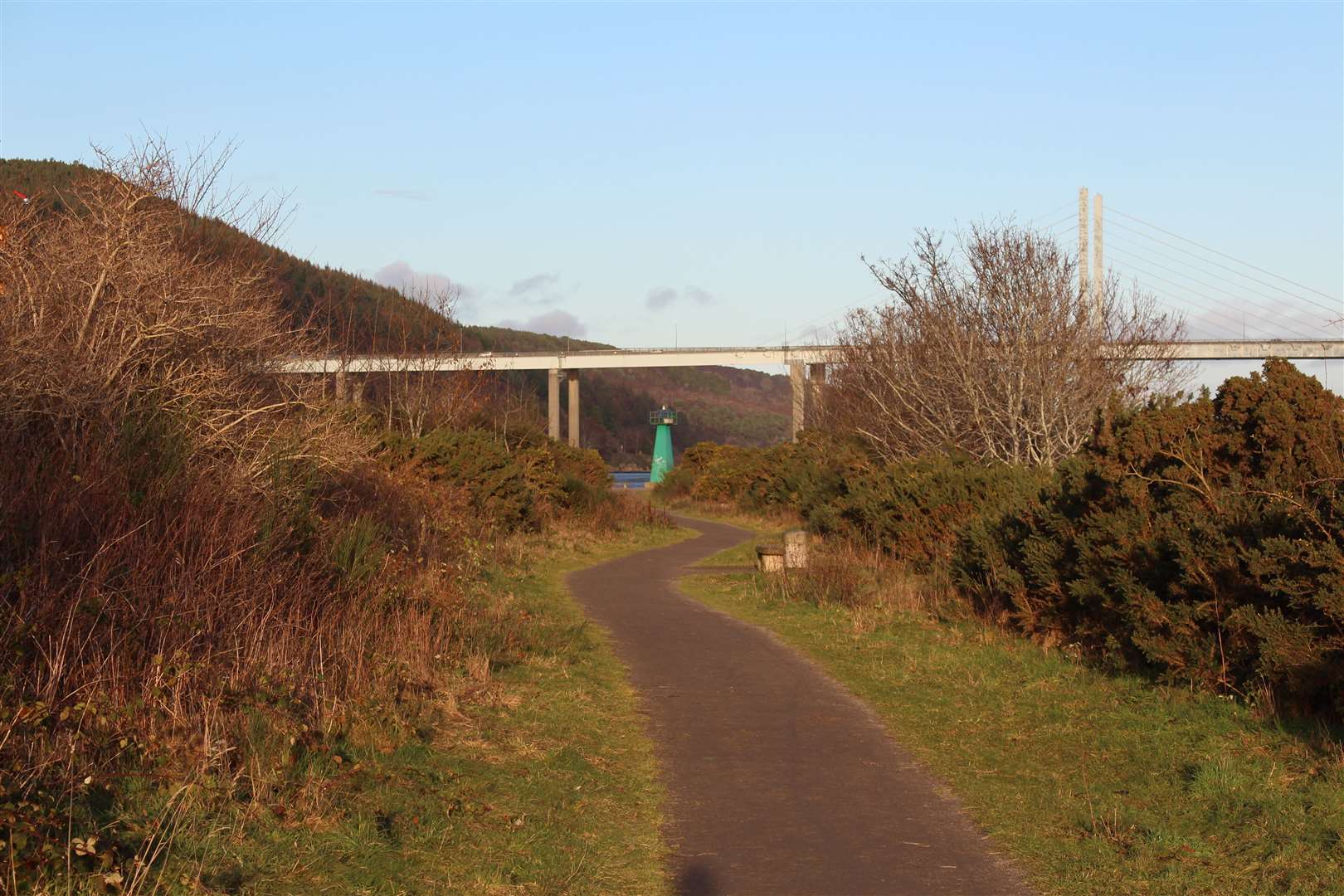
The Kessock Bridge, now in view across the water, was opened in 1982, in turn changing the busy nature of the road here.
As you walk up the road, go right through a black gate marked Carnarc Point. A lovely little path – part of the Merkinch LNR – winds its way out to the point. The name apparently originates from a crannog which was once situated out from the point across a hidden mud path – it must have been a challenging place to set up home.
As I walked back, I spotted a seal in the bay, its head bobbing out of the water to check out what was happening. Back at the road, I turned right and continued to the old ferry slipway and ticket office, then, after admiring the view out to the Beauly Firth, followed the path into the nature reserve.
I used to regularly use the path along the sea wall here, but I hadn’t spent much time exploring the other trails, so I decided to head left through the vague path across the grass. There are a number of trees planted here by the reserve volunteers and there is currently a funding application being submitted to create a more inclusive path through this part of the reserve
I forked right into a wooded area rather than heading out to the playing fields beyond, and meandered along the sometimes muddy and even way to see what it was like. It certainly felt a long way from the bustling city I had left behind not so long ago.
There are bird and squirrel feeders tucked away at one spot and I paused to watch and listen to the birdsong. It was a peaceful moment and a chance to breathe in some sounds of nature which it is all too easy to tune out from.
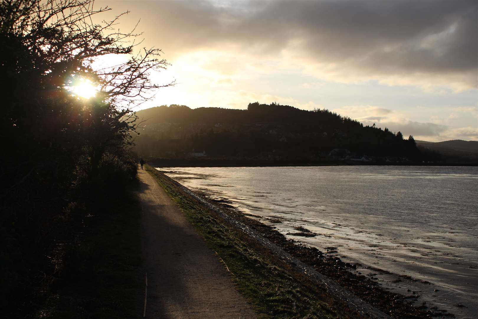
Soon I hit a more robust path, where I turned right. This took me to the sea wall, where the low sun was creating some spectacular light over the hills to the west of the city.
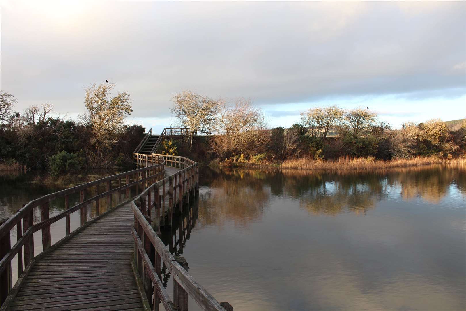
I followed the path left until just before the railway line, then headed left to wander out along the boardwalk which takes you among some reed marshes.
It is hoped that the boardwalk here will be replaced in the next year or so with a recycled plastic version that should last for 100 years or more. The current wooden one has been in place for around 30 years.
After exploring a little further inland, I headed back to the sea wall and continued over the railway line and along what Caroline called “midgie lane,” the short path that goes between here and the canal towpath.
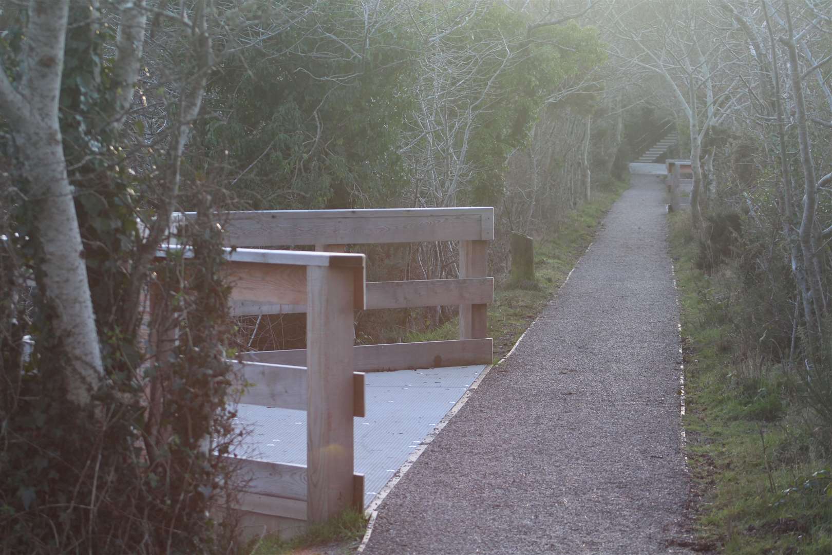
This little part of the route has been transformed, with a new path surface and a series of viewing platforms where you can watch the wildlife coming and going. The mudflats here are popular spots for wading birds to come and feed and, while I’m no expert, I enjoyed spending a little time here trying to spot and photograph some of the birds.
There’s also a heronry nearby and the herons can be seen among the reeds in their dozens, and I’m told kingfishers can be spotted along the burn that runs close to the canal.
After tearing myself away from this hidden oasis of nature, I continued up the slope to the canal towpath and turned left up towards the Muirtown Basin. Shortly after reaching the pontoons, look out for a ramp that leads left down to meet Carsegate Road at a layby.
Turning right, I then followed the pavements along Carse Road and Abban Street back to the underpass at the Friar’s Bridge, and back to the city centre.
- Friends of Merkinch Nature Reserve relies on volunteers to keep it looking nice and cared for, as well as for bigger jobs such as tree planting and path work. To get involved, contact Caroline via the Friends of Merkinch Local Nature Reserve Facebook page or email merkinchlnr@gmail.com
Route details
Merkinch nature reserve
Distance 3.75 miles / 6km
Terrain Pavements, footpaths, steps/ramps
Start/finish Inverness city centre – walk begins at path beside Friar’s Bridge at end of Huntly Street
Map Paths Around Inverness map (available on information boards around the city)
A haven for nature and a peaceful stroll that’s just a stone’s throw from the Highland capital