


ACTIVE OUTDOORS: Exploring the islands of Loch Tarff by kayak
Register for free to read more of the latest local news. It's easy and will only take a moment.

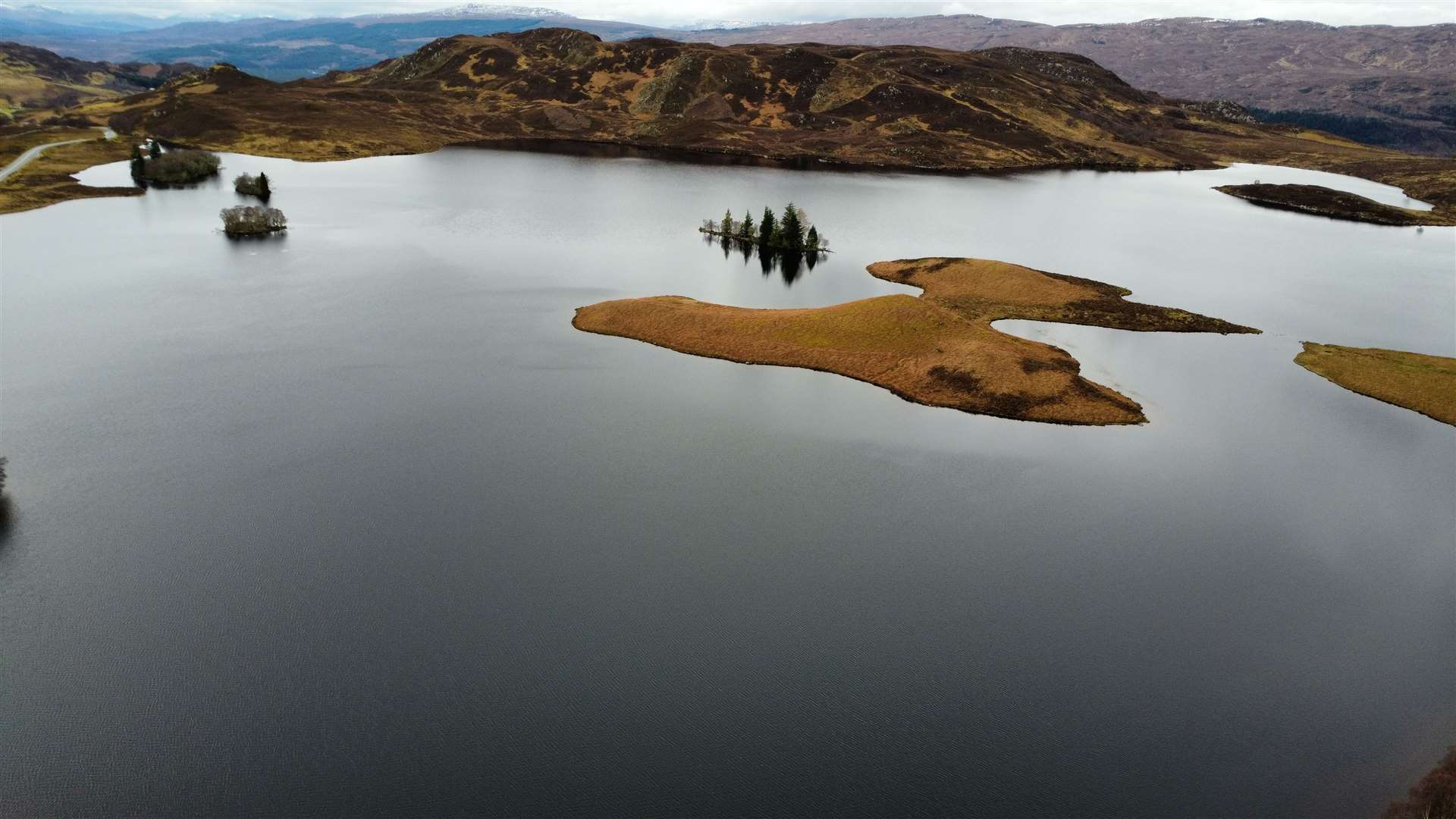
Loch Tarff has long held a fascination for me, nestled high in the hills on the south side of Loch Ness close to the Suidhe viewpoint.
The beautiful single-track road that used to hug its shoreline was widened during the development of a nearby wind farm, but to be fair the location hasn’t lost any of its charm.
This smooth section of flat road also offers a brief bit of respite to weary cyclists making their way up the epic climb from Fort Augustus, which they do in their thousands during the Etape Loch Ness every year.
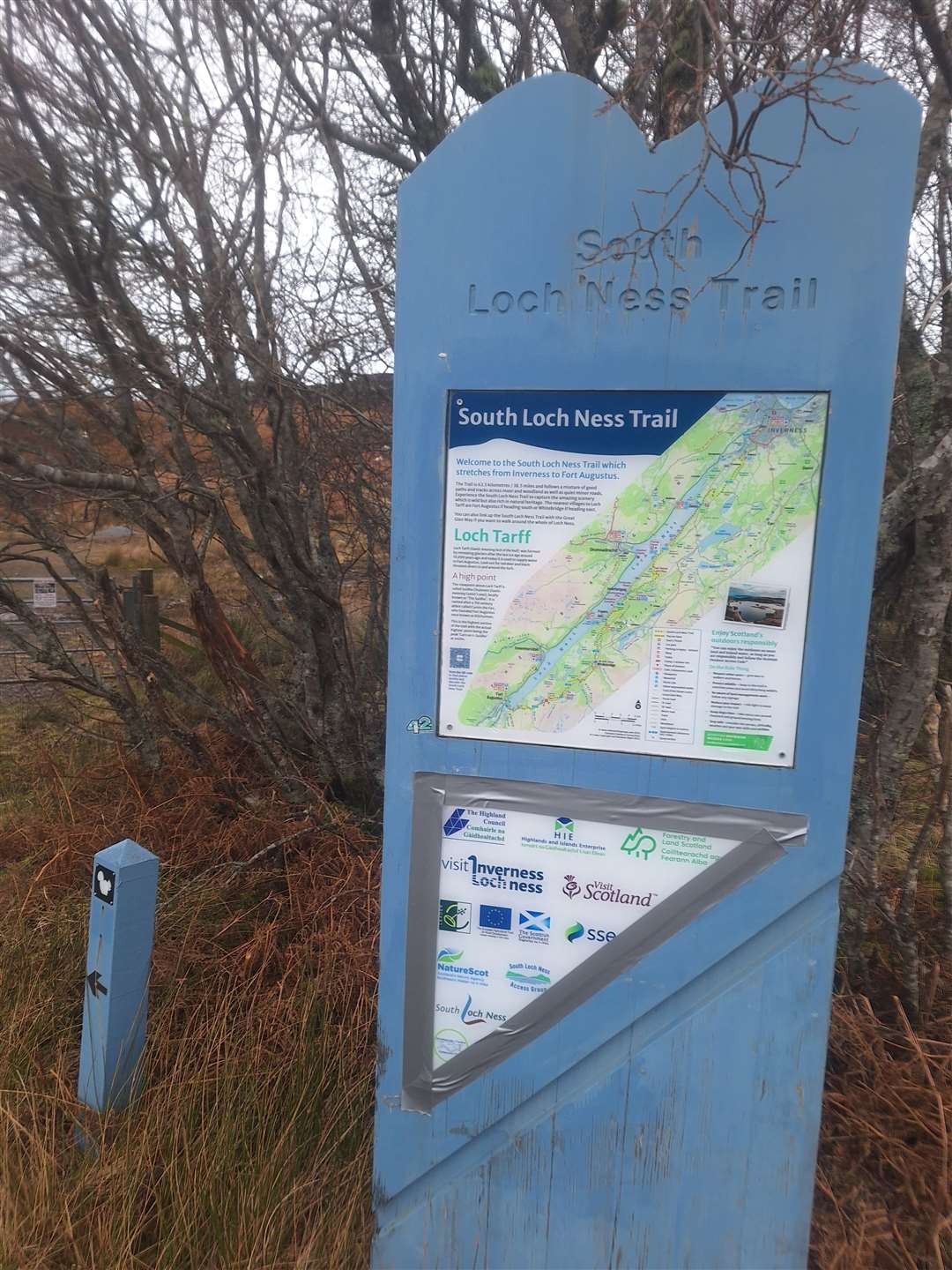
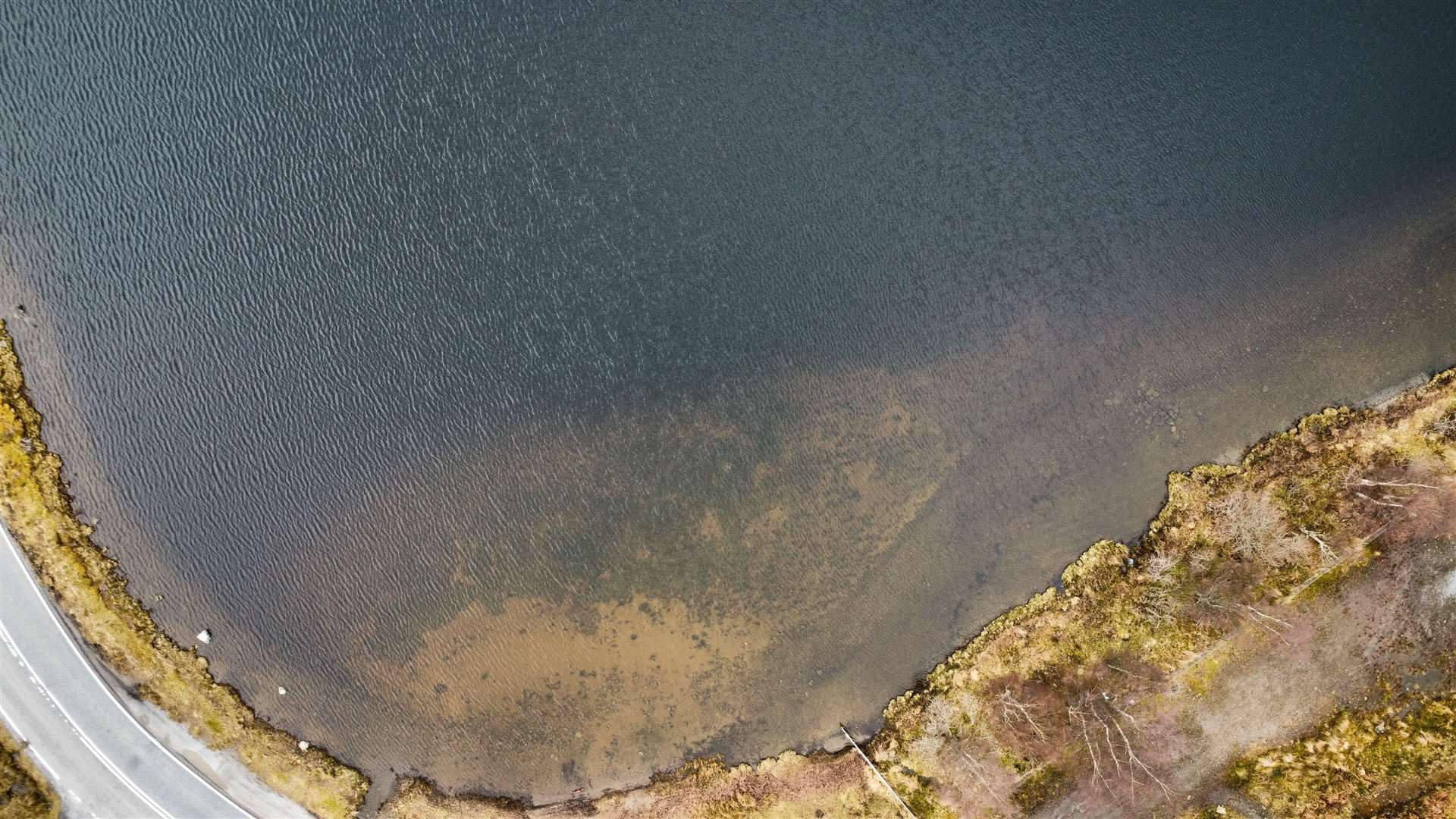
A small bit of rough ground just off the road beside the loch used to mark the start and finish of the South Loch Ness Trail, which has now been extended right down into the village.
It offered me a good launch site for my inflatable kayak, with a small beach area (I use the term loosely) providing access to the water.
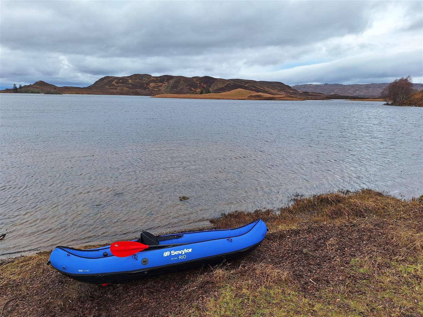
It is a lovely peaceful spot here, and the conditions were relatively calm for a February morning, with just a few gusts of wind whipping over the surface of the water.
I’ve seen people paddling here before and always wanted to explore around the islands, so when a rare opportunity presented itself, I headed down the south shore of Loch Ness and found the area deserted, save for a few walkers exploring the trail.
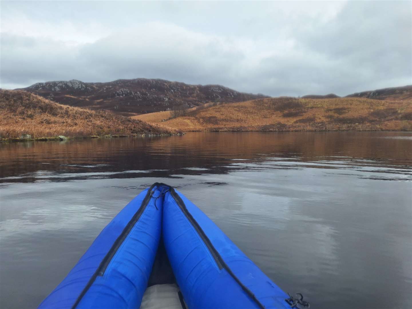
Once the kayak was pumped up and ready to launch, and I was kitted out with buoyancy aid, spare paddle and emergency phone in its waterproof case, I headed onto the water.
I played about close to the shore for a couple of minutes, testing the kayak’s handling from different angles in the wind, then when I was comfortable, ventured out to explore.
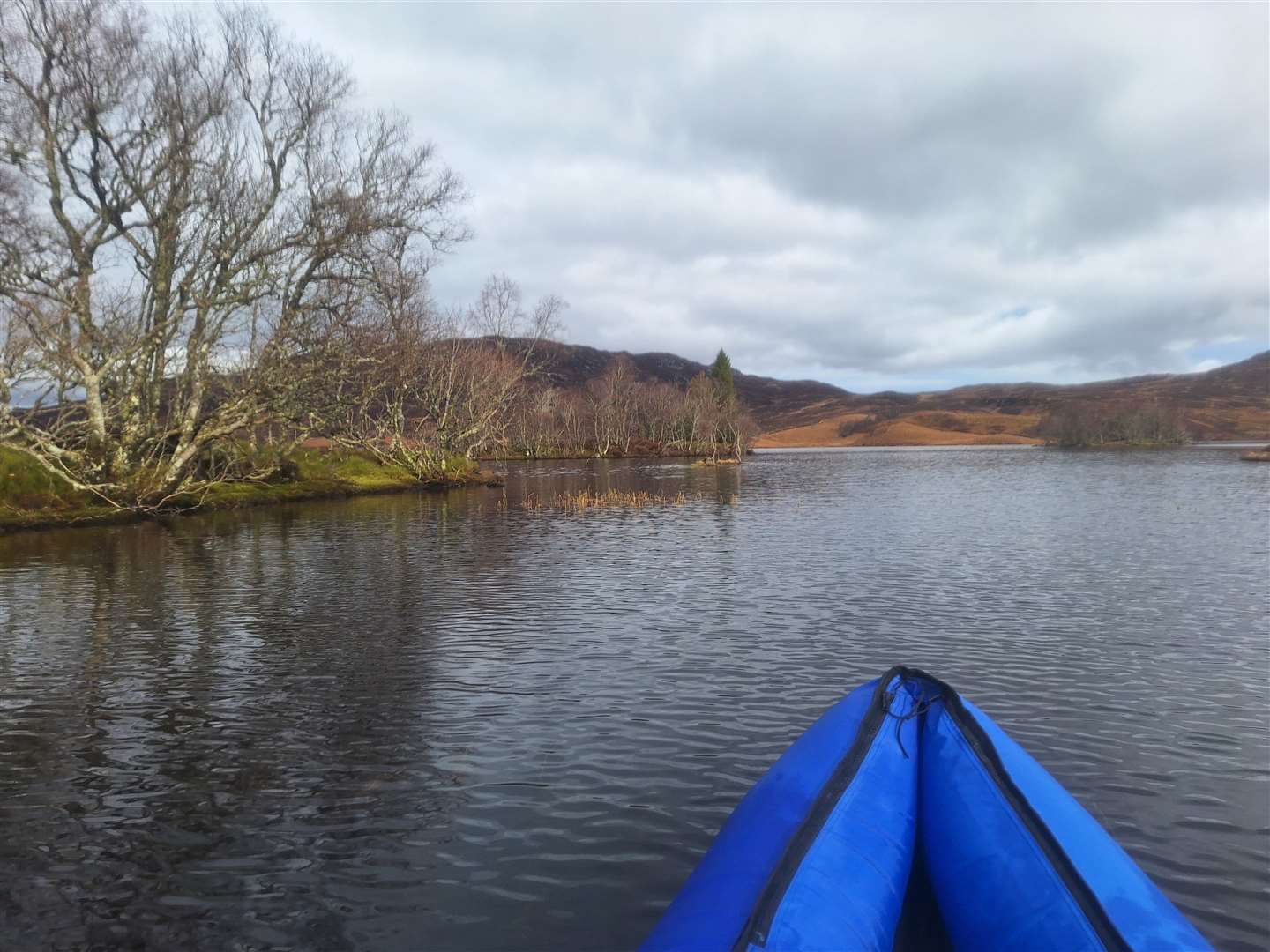
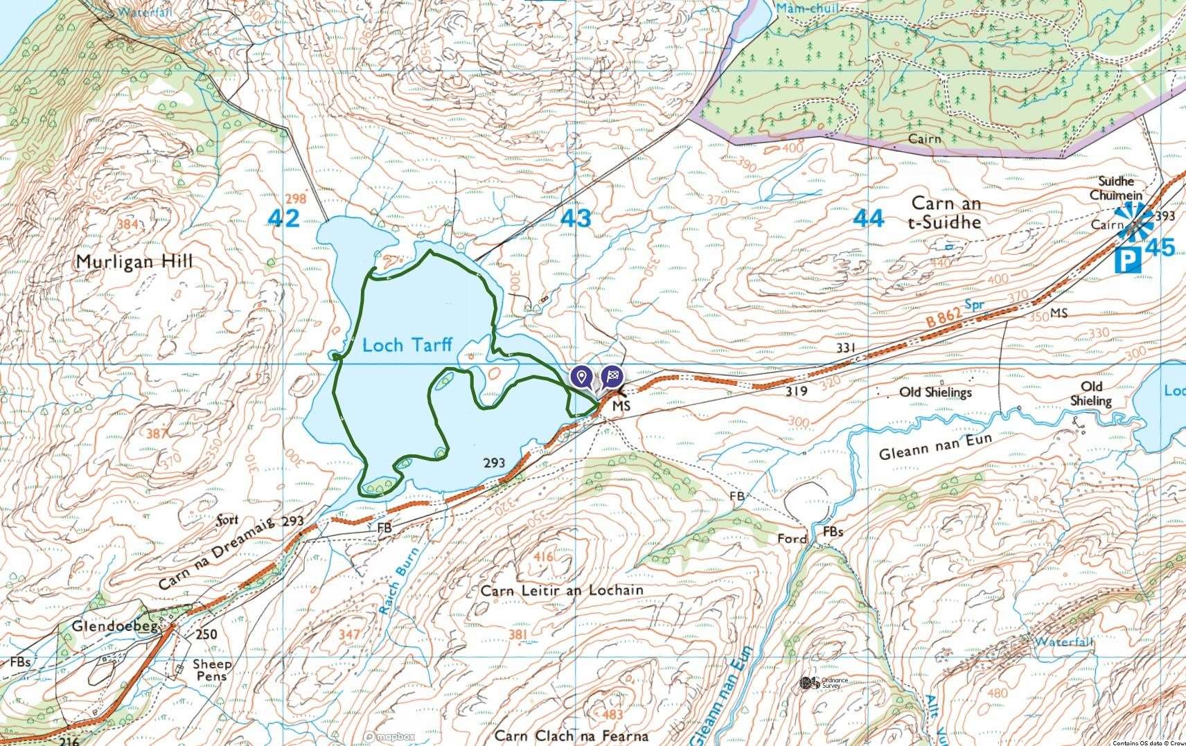
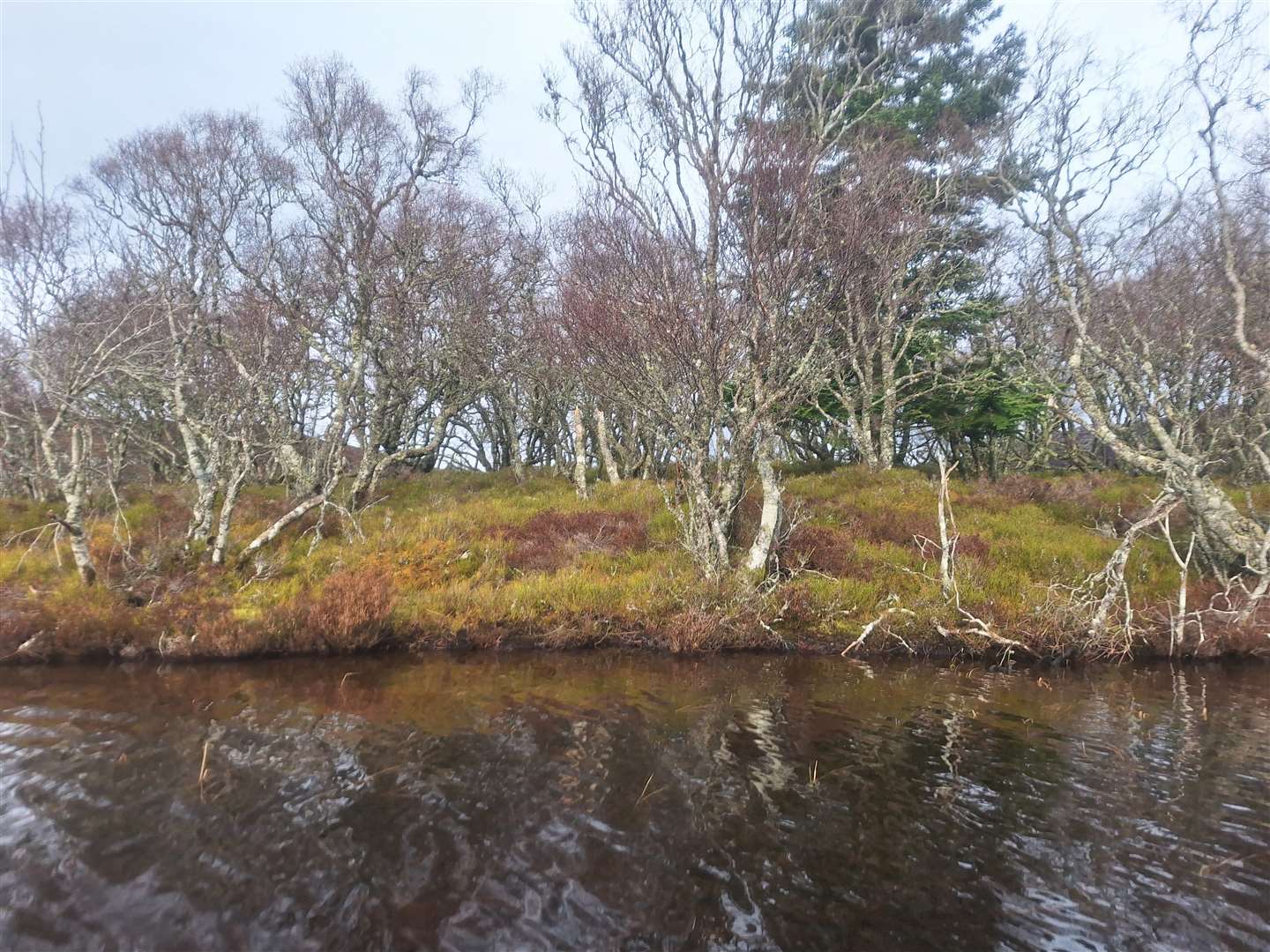
My first port of call was the largest island, Eilean Ban, which isn’t far away at all. There’s a fairly narrow channel on the north-east side and a little sheltered bay with reeds growing. I didn’t land but tootled around here before heading north out of the channel.
It was quite shallow here, and I needed a gentle shuffle to drag the bottom of the boat safely over the rocks – shallow areas are something to watch out for in Loch Tarff, particularly around the islands, although at its deepest it reaches around 27 metres.
The water was calm enough that I could keep an eye over the side and see when things were getting a little close for comfort.
I continued round the north-eastern shore below the 555m Beinn a’ Bhacaidh, the uninhabited ground all around home to rugged hills, heather and crags that are rarely visited.
I took a little shelter at the northern end of the loch before crossing to its western shore, realising I had plenty of time to complete a gentle-paced loop and explore around the smaller islets, too.
A shallow little cove eats into the relatively straight shoreline that leads south-westerly, but I couldn’t get too far in due to the sandy base just below the surface. Turning around, I enjoyed a view over to Carn an t-Suidhe – that lovely little hill that the South Loch Ness Trail follows, and a number of people climb from the opposite side at the viewpoint on the road.
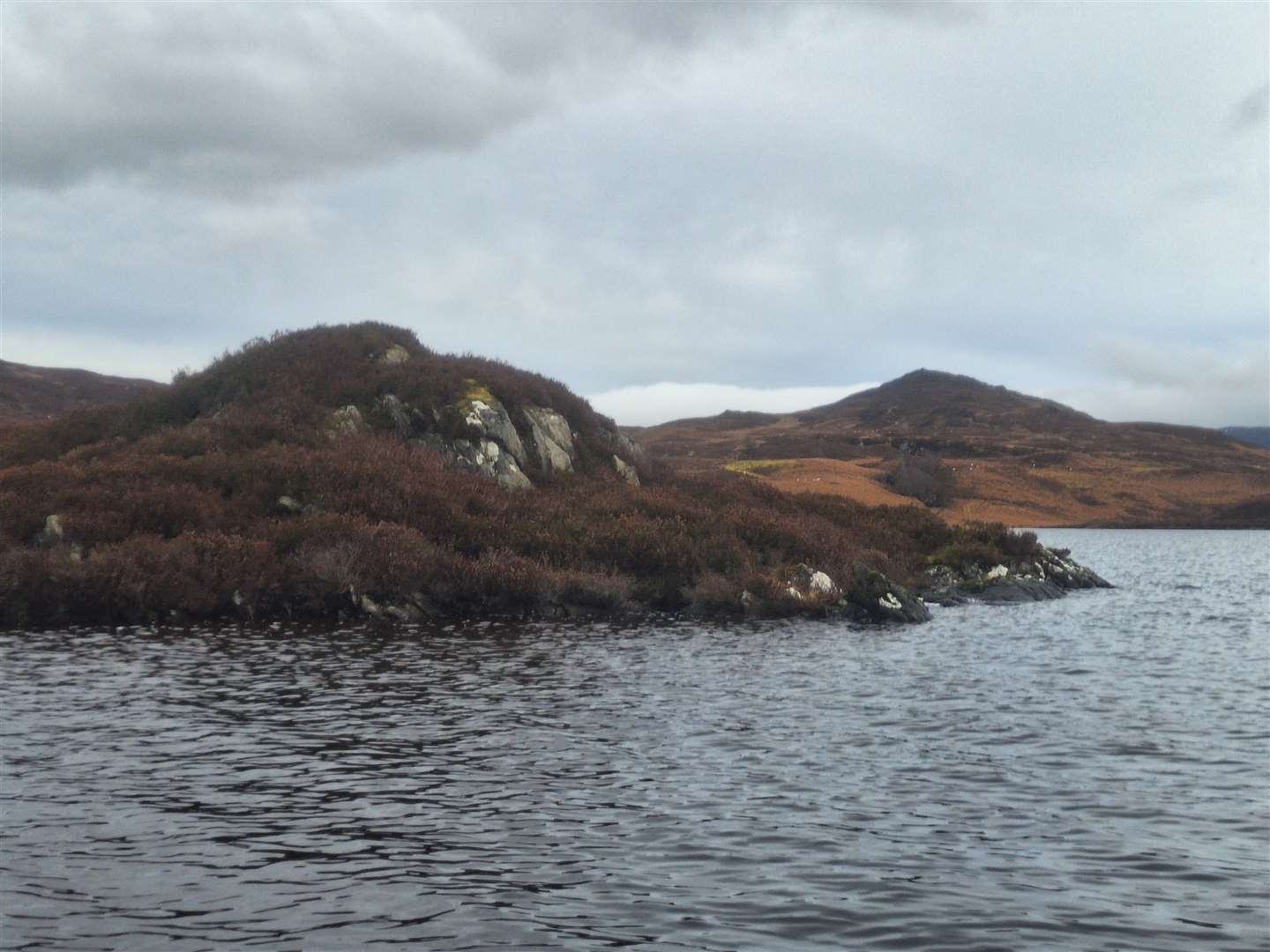
Now I cut the corner to reach the narrowing channel that leads to the loch’s outflow. With three islets in a row, you need to be careful of grounding here, but it is possible to swing around each one, and I went round the back of the westernmost islet, then cut in front of the next one, weaving in and out.
It was so peaceful to be out here on the water just being immersed in the landscape and the elements. A small flock of geese flew overhead as I headed north to a fourth islet close to Eilean Ban.
Even the proximity of that shore-hugging road didn’t detract from the experience, and I could see a family of walkers on the South Loch Ness Trail who were looking over every so often, spotting me as a colourful dot standing out on the backdrop of browns and greys.
As I turned around the southern edge of Eilean Ban, I hit a perfectly still section of water before making the final short crossing back to the mini beach.
I’d been out on the water for a little over an hour and enjoyed this wonderful corner of the Highlands from a new and refreshing perspective.
Route details
Loch Tarff kayak
Distance 2.25 miles / 3.5km
Terrain Freshwater loch
Start/finish Parking area off B862 at Loch Tarff
Map OS Landranger 34; OS Explorer 416
A gentle paddle to explore the waters of Loch Tarff on the south side of Loch Ness
Click here to see the route in OS Maps
All images © John Davidson