


New active travel map for Badenoch and Strathspey aims to get people walking and cycling more
Register for free to read more of the latest local news. It's easy and will only take a moment.

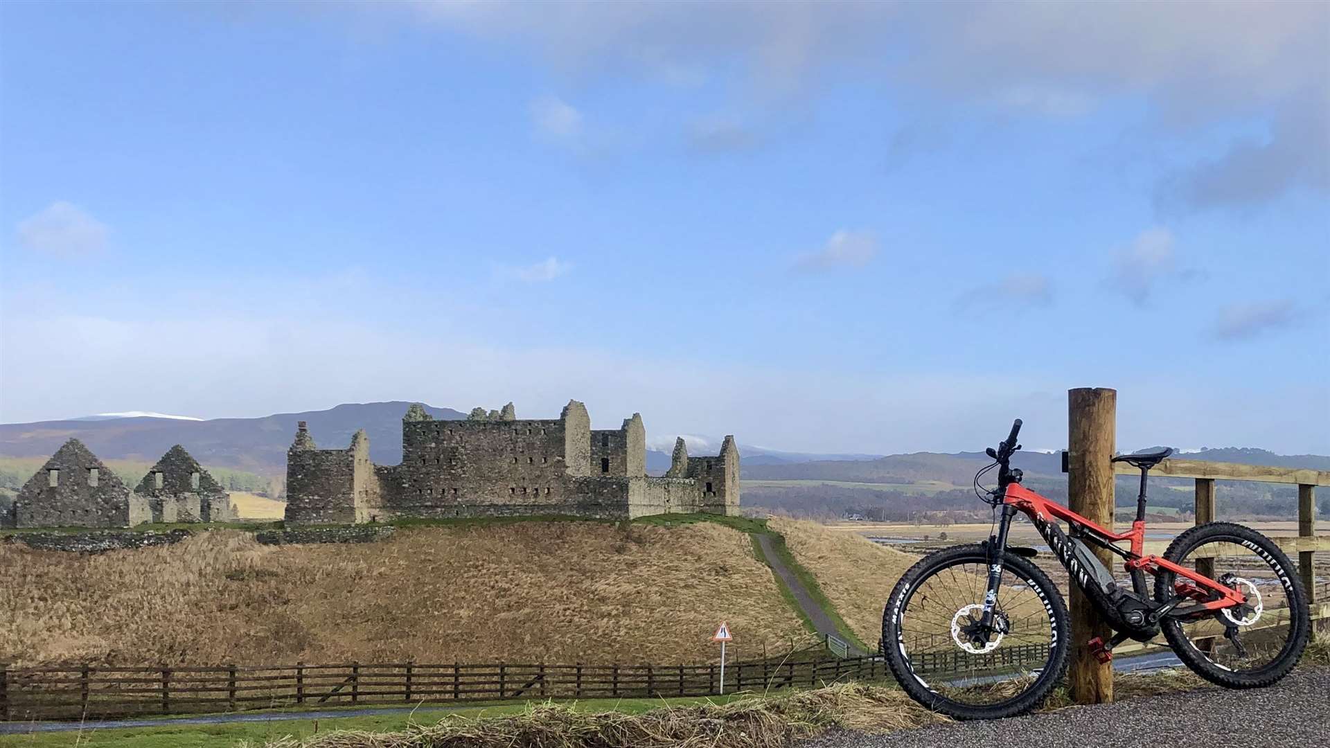
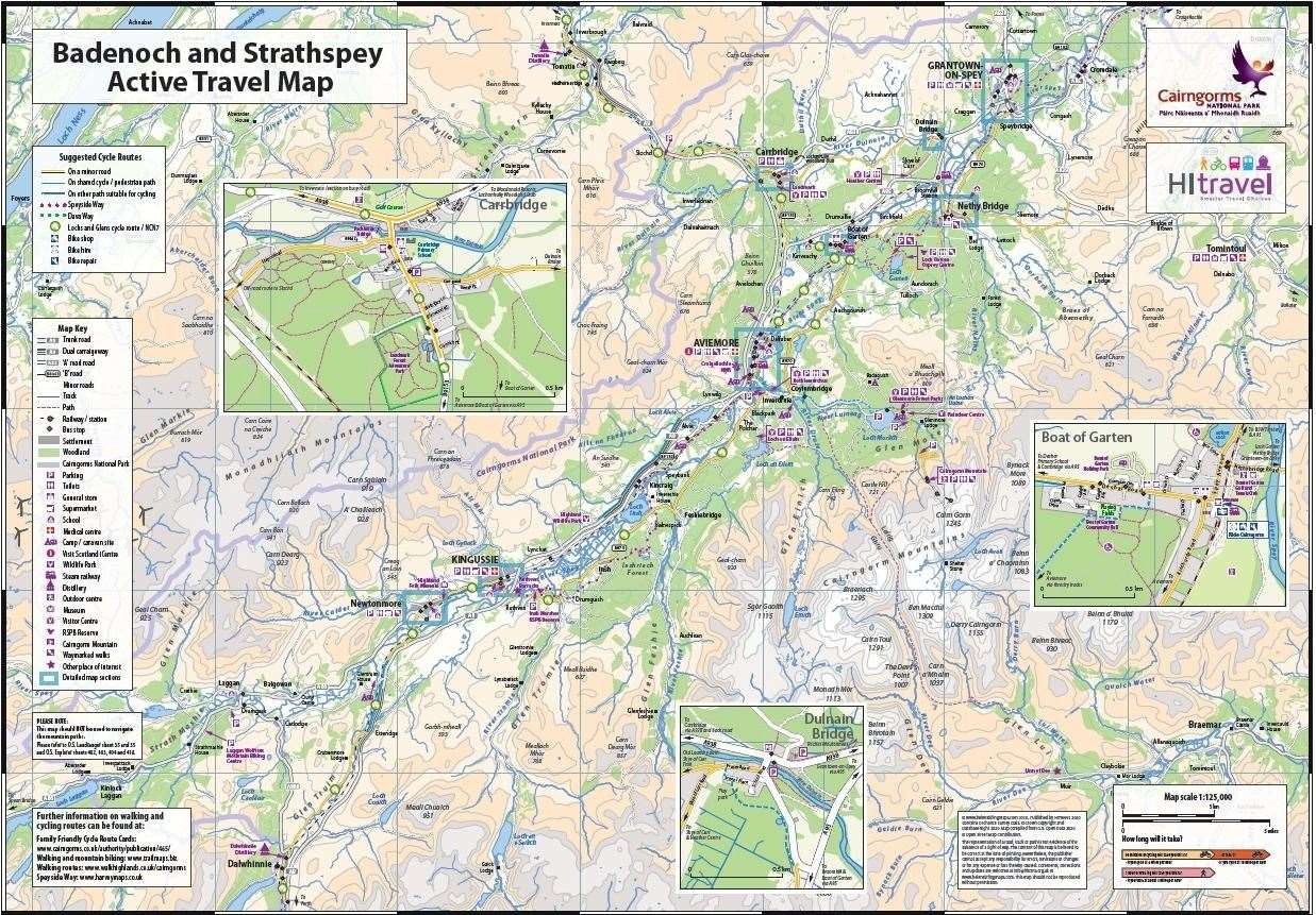
A new active travel map is offering ways to explore Badenoch and Strathspey on foot and by bike.
Covering an area from Carrbridge in the north to Newtonmore in the south, the map aims to help people find ways to walk and cycle for more of their everyday journeys.
Suggested cycle routes are also highlighted, as well as footpaths, bike shops, bike parking and public transport connections.
Regional transport partnership Hitrans, which published the active travel map following similar projects in Inverness and Fort William, said more people had taken advantage of quieter roads during the Covid-19 lockdown to get out and explore their local area.
With advantages for mental health and wellbeing, as well as physical health, it hopes that the walking and cycling habit will continue for local trips.
Vikki Trelfer, active travel officer with Hitrans, said: “In half an hour you can walk around a mile-and-a-half or cycle five miles, and incorporating exercise into your daily routine is a great way to get fit and stay healthy.”
The active travel map has been developed with the help of local contacts in each settlement.
Vikki added: “It’s been great to be able to connect with people working on this project through lockdown, and I hope that the map will enable people to keep on connecting with and exploring their local area as we move out of lockdown.”
Councillor Allan Henderson, chairman of Hitrans, has seen the value of active travel maps in Inverness and Fort William and welcomes the roll out of the initiative to Badenoch and Strathspey.
He said: “The maps are a great resource for finding routes to explore in local areas. It would be great if the map helps local residents to consider changing the way they make local journeys, by walking or cycling wherever possible.”
The free map is available in various local shops and bike shops including those listed below, and a pdf version can be downloaded from www.hitrans.org.uk/hitravel
Maps are available to pick up from:
Newtonmore Co-op
Kingussie: Caberfeidh Horizons and at the railway station
Aviemore: Aviemore Bikes, Bothy Bikes, Dalfaber Co-op, Grampian Rd Convenience Store, Route 7 Café
Boat of Garten: Ride Cairngorm
Nethy Bridge Spar
Grantown Garage
Carrbridge Artist’s Studio
Read more
- New website promotes outdoor activities, spaces and initiatives to improve health
- More from Active Outdoors