


Storm Christoph ‘could bring two months of rain in under three days’
Register for free to read more of the latest local news. It's easy and will only take a moment.
Parts of the UK could see two months’ worth of average rainfall in just two-and-a-half days as Storm Christoph moves in.
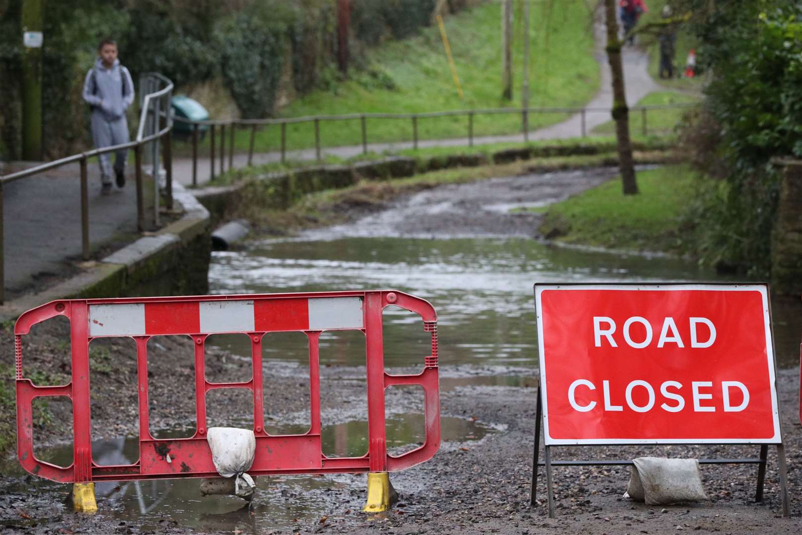
Weather warnings for heavy rain are in force across the country, and the unsettled conditions could also bring significant flooding, high winds and snowfall as the storm engulfs the country through the middle of the week.
The Met Office’s most serious weather warning – amber for rain – has been in place across parts of the Midlands and northern England since Tuesday morning, while a less serious yellow warning is in place across the rest of England, parts of Scotland and Northern Ireland.
Simon Partridge, a Met Office forecaster, explained: “It’s not a traditional sort of storm, it’s going to be windy but it’s not based on the wind strength at all, it’s really down to the disruption that’s being caused by rain.
“There are already parts of Cumbria that have already seen over 80mm of rain since midnight on Tuesday and there’s a large number of places that have seen 50mm, and we are going to see further rain over the next 24 to 36 hours.”
Honister Pass in Cumbria saw 77mm of rain between midnight and 6pm on Tuesday, according to Environment Agency figures.
Mr Partridge said the storm meant that some areas could see double the average amount of monthly rainfall over a few days.
He said: “Those areas that have seen between 50mm and 70mm already, the warning is out until midday on Thursday, so an extremely long period, but by then we could see up to 150mm to possibly 200mm of rainfall.
“The Midlands for example, their average rainfall total for the whole month is 73mm, so they could easily get double that in the course of two, two and a half days.”
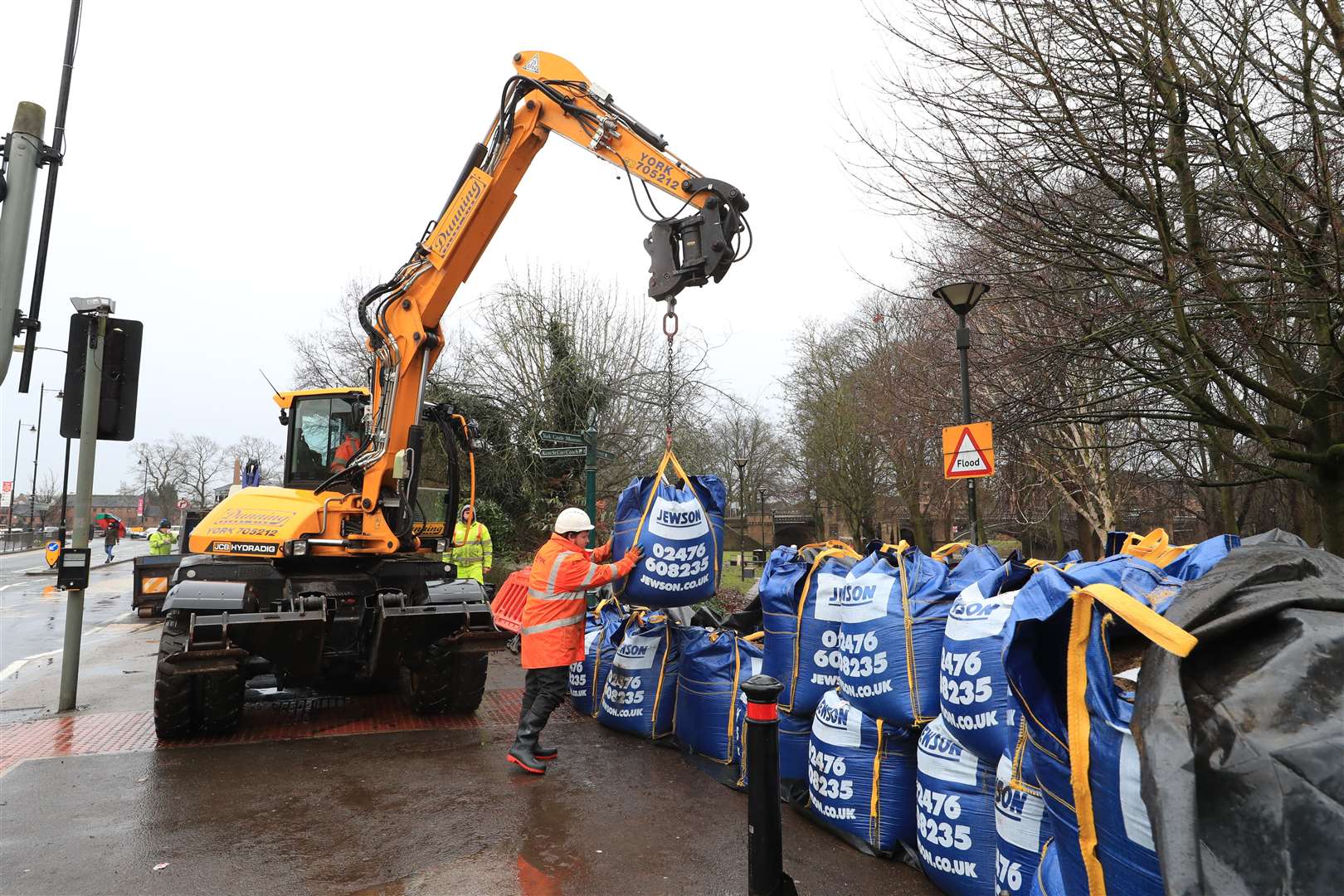
Floodwaters have already risen in parts of the country, with a motorist pictured stranded in Leicester, and workmen in York preparing flood defences on Tuesday morning near the city’s River Ouse.
Tuesday also saw disruption to transport, with Network Rail reporting delays and some line closures in the North West in the evening.
The storm has caused concern for people living in areas devastated by the floods at the end of 2019, who say they are preparing for the worst to happen again.
However, residents of Fishlake, South Yorkshire – which was cut off by the floodwaters just over a year ago, said they are much better prepared this time with many having sandbags dropped outside their properties on Tuesday.
As of 5am, the Environment Agency has issued 37 flood warnings and 167 less serious flood alerts across England.
A major incident was declared in both Greater Manchester and South Yorkshire ahead of the expected heavy rainfall.
North Yorkshire County Council said more than 15,000 sandbags were at the ready around the county.
Meanwhile, Public Health England (PHE) issued a cold weather alert from “first thing” on Thursday until 9am on January 25 for the North East, North West and Yorkshire and the Humber.
The agency said the risk of flooding will amplify the public health risks of the severe cold weather.