Peaceful forests at Nethy Bridge were once a centre of industry
Register for free to read more of the latest local news. It's easy and will only take a moment.

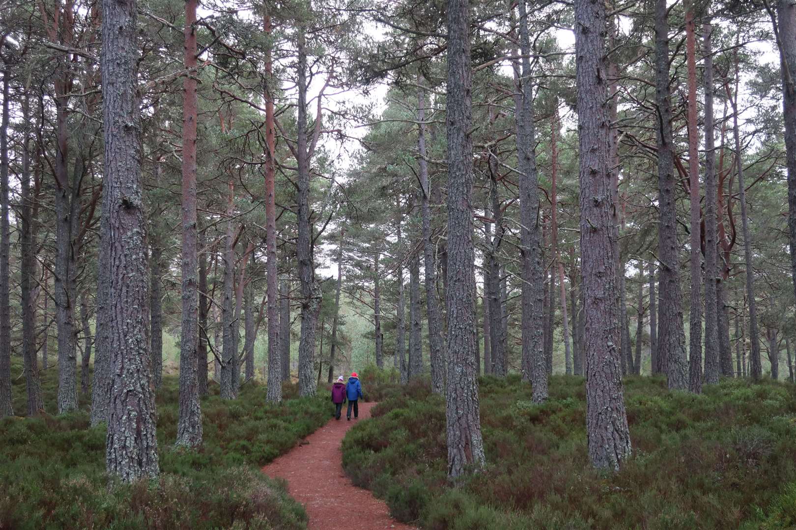
The village of Nethy Bridge may seem like a quiet place today, surrounded by forests that are a haven for wildlife and a place where nature is flourishing.
But a good few years before the Springwatch, Autumnwatch and Winterwatch cameras came to give us all a closer look at this part of the Cairngorms national park, this area was an industrial centre – with the trees at its heart.
Timber operations began at scale in the 18th century, when the wood from the forests was used to make charcoal which was burnt to smelt iron excavated at the Lecht.
Later, in the two world wars of the 20th century, timber was again in high demand, with German prisoners-of-war among those to help build railway sidings to transport the wood from the forests to the main railway line which passed through the village.
It’s hard to imagine this idyllic village as a centre of industry and commerce today, but the signs are still there.
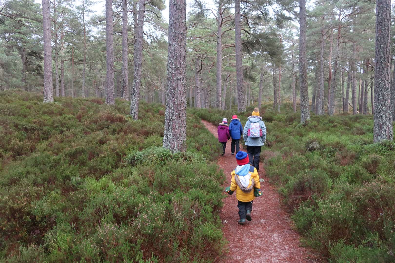
After taking a look around the fascinating visitor centre in the village – where there are huge jigsaws, an art table and some interactive puzzles to keep the children occupied – we headed out on one of the recommended local walks.
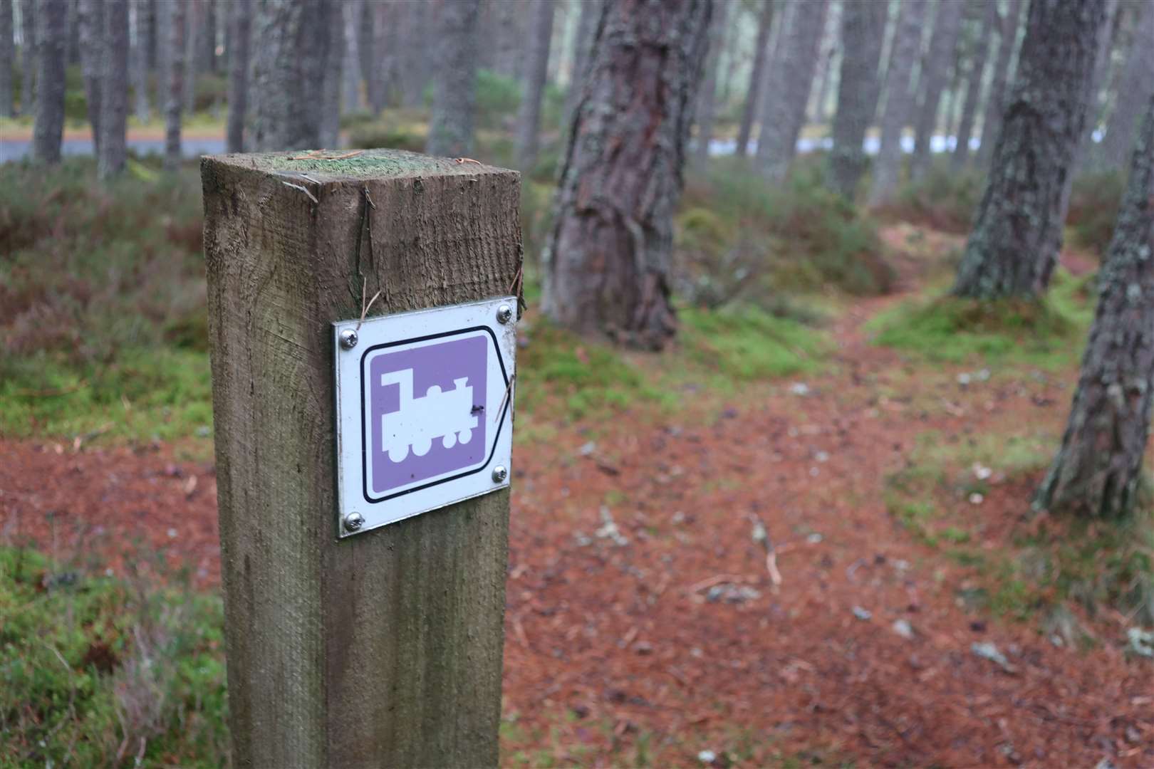
The Puggy Line Trail follows one of those old narrow gauge railways that would once have been used to transport timber in vast quantities. Towards the end of the walk, the path runs parallel to the Tulloch road and embankments can still be seen either side of where the line would have been.
One villager is said to have recalled seeing an abandoned engine here around 1930. Such obvious signs are missing today, but there’s plenty of interesting on this lovely forest walk.
Starting from the visitor centre, we headed right, up the road rather than the riverside path, then took the first road off to the right at Culvardie. Keep straight on where Duackbridge is signed off to the right and the tarmac soon gives way to a forest track.
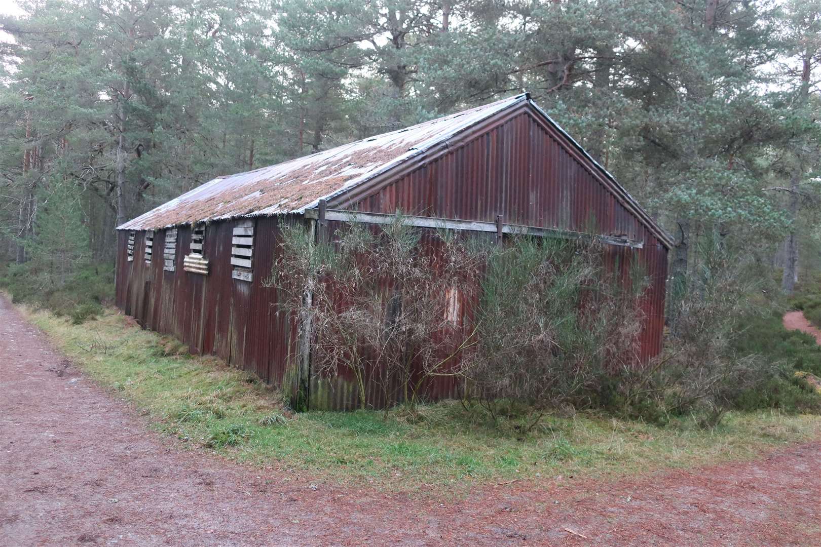
A short distance ahead you reach Steele’s Mill. Built by local man Willie Steele, who died in 2003, the sawmill is said to have been constructed using corrugated iron salvaged from an old prisoner-of-war camp at nearby Lettoch.
Follow the purple ‘puggy’ symbol on the marker post, which directs you left immediately after the building as you enter Dell Wood. A nice path winds through the trees, past a few benches, before coming to a junction.
We diverted left for a brief autumnal picnic stop but the route turns right here, continuing through the nature reserve on a path known as Haemack’s road. This was a route regularly used by the late Hamish Mackenzie, who was a cobbler and lived at Culvardie, to cut peat from an area of moss that is now overgrown with heather.
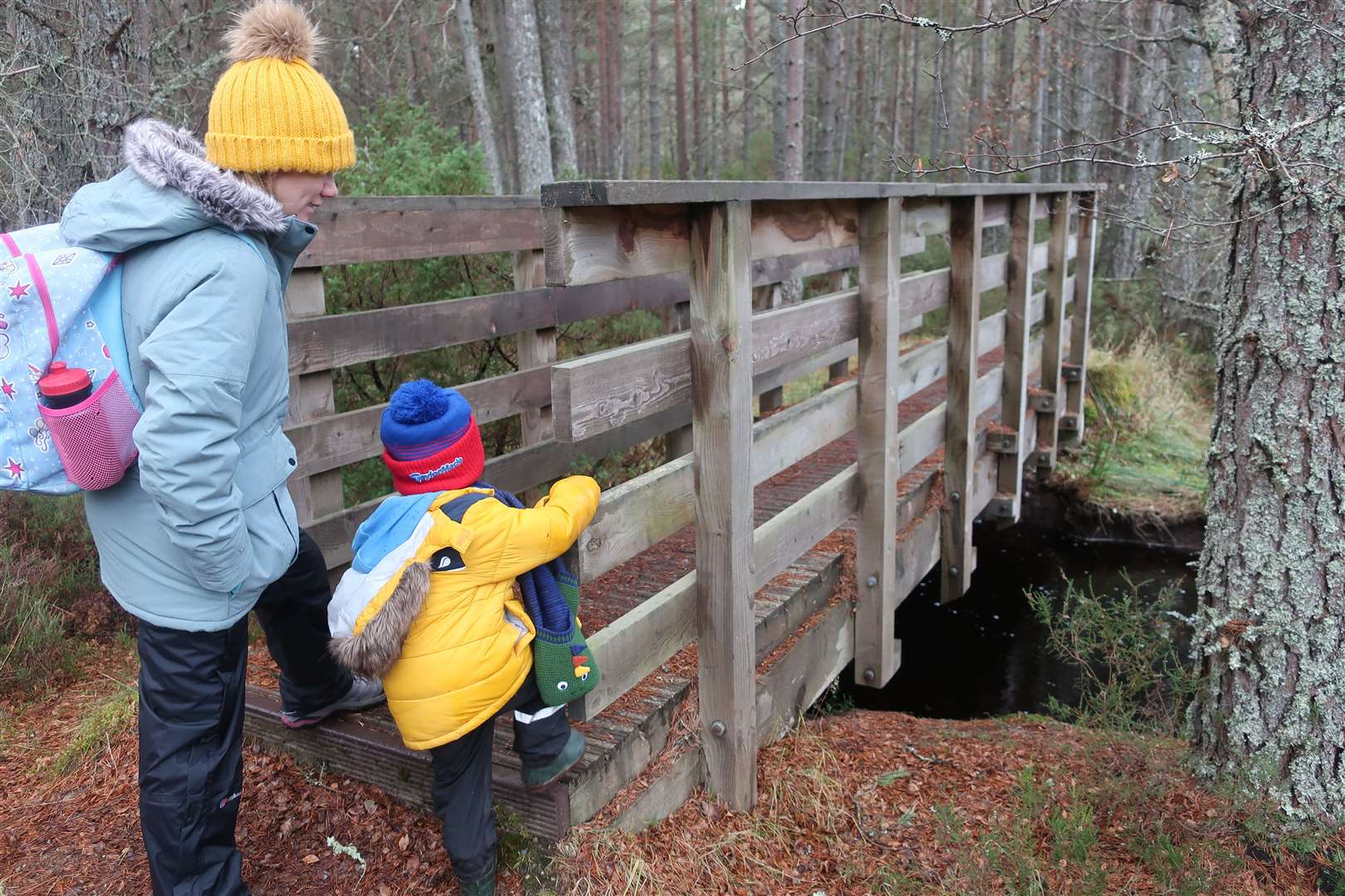
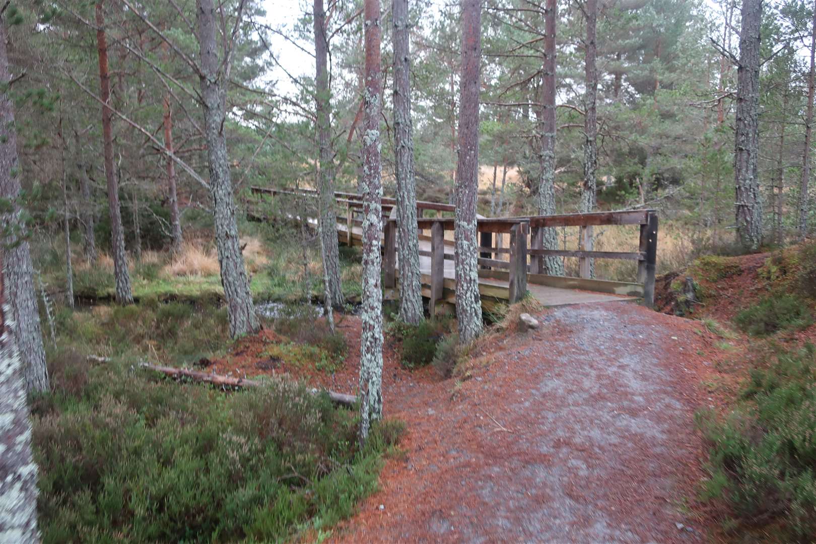
Further through the forest, the path turns sharply right before reaching a junction, where we turned left onto a much narrower path that led down to a little bridge over a narrow burn. You very soon cross a second bridge, over the Duack Burn, and then continue up towards the Tulloch road, a quiet route that leads south from the village.
Still following the purple train, we turned right just before the road and followed the puggy trail that meanders over tree routes and rocks.
At a green marker post, you briefly join the route of the Speyside Way – with its thistle marker symbol – until you reach a much wider track ahead.
Turn right here but don’t follow the route signed back to Nethy Bridge. The Puggy Line Trail is clearly signed to the right and offers a more interesting return.
The well-made path soon reaches a curious “squinty bridge” which zigzags over the burn before rising gently to meet a track in Dell Wood, close to Steele’s Mill. A left turn here leads you past the mill and back through Culvardie to the visitor centre.
This is just one of a number of waymarked trails from the village, all of which are great to explore. The wider Abernethy national nature reserve stretches from the forests right up to the Cairngorm plateau and the summit of Ben Macdui, Scotland’s second highest mountain.
While that may be out of reach to all but the experienced mountaineer at this time of year, there’s plenty of low-level walks to enjoy whatever the weather as we enter winter.
Route details
Puggy Line Trail, Nethy Bridge
Distance 3.25 miles / 5km
Terrain Mostly well-made forest paths, boggy in places; wooden bridges; short stretch of minor road
Start/finish Nethy Bridge Visitor Centre
Map OS Landranger 36; OS Explorer OL57; Nethy Bridge, Explore Abernethy leaflet (available from visitor centre – open 10am-4pm “weather permitting” during winter – and at nethybridge.com/visitor-centre/explore-abernethy/footpath-network)
A nice walk through the Dell Wood, part of the Abernethy National Nature Reserve, including part of the route of an old logging railway line