A question of recovery on rough route to Torridon Corbett of Ruadh-stac Bheag from Beinn Eighe visitor centre
Register for free to read more of the latest local news. It's easy and will only take a moment.

A test. My first big hill post-heart attack. I felt ready for it, but was it ready for me? Only one way to find out.
At least I couldn't have picked a better day. Brilliant autumn sunshine lit up the colours in Torridon. Early morning mist was clearing from the hills and I knew I was in for a good hill day, heart and energy permitting.
A saunter from the Beinn Eighe visitor centre brought me to the Allt Sguabaidh and the path leading west above it, which climbs steadily for four kilometres to a point between the two Corbetts of Meall a' Ghiubhais and its neighbour across the glen, Ruadh-stac Bheag.
The excellent and popular Mountain Trail, further north, is often used to gain the summit of Meall a' Ghiubhais, but I'd done that before.
This time I had Ruadh-stac Bheag in the crosshairs. It's nine metres higher and rather harder to reach, so I knew it would be a good measure of how I was coping with my recovery.
Making my way along the path, Creag Dubh, a spur of Beinn Eighe, dominated the view to the left, with Meall a' Ghiubhais rising to the right, while behind me, across Loch Maree, mist was still lingering on mighty Slioch.
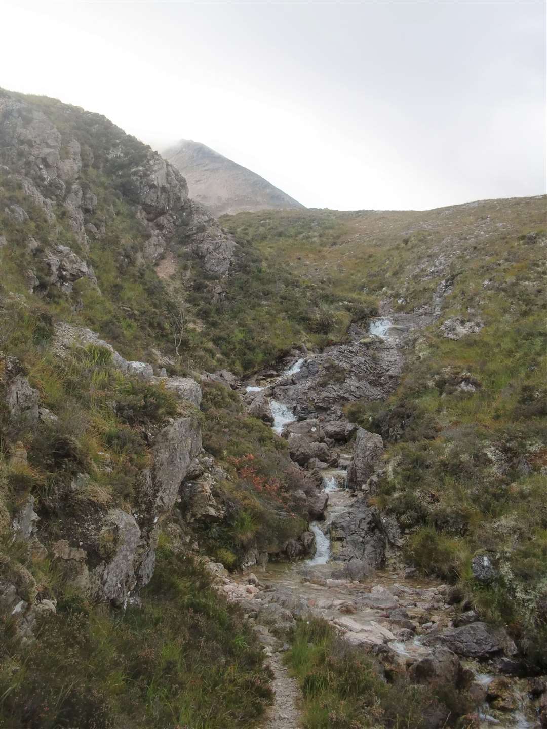
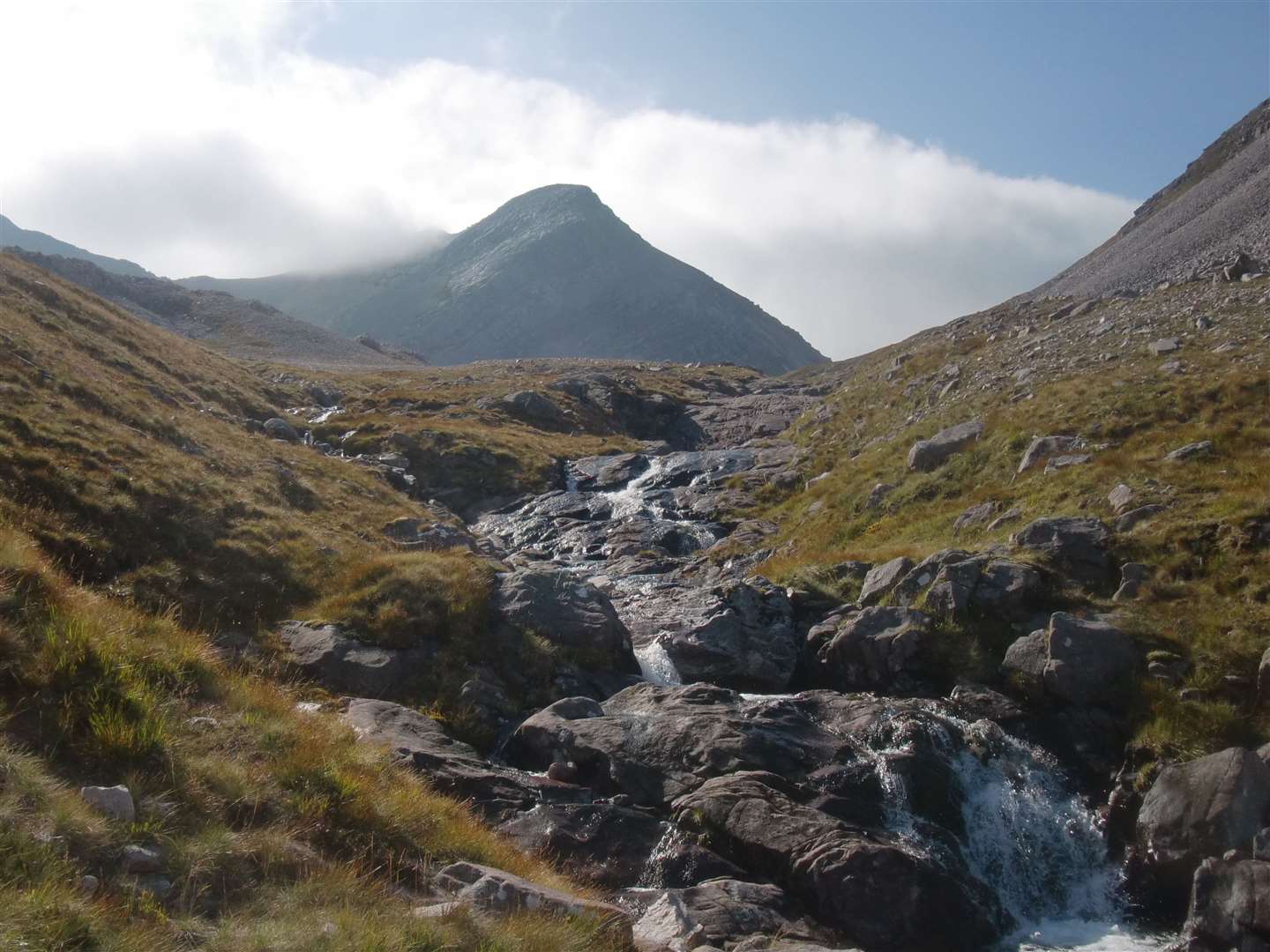
A couple of kilometres gained, the path took me across three burns, cascading scenically down from Creag Dubh. Another 500 metres brought me to the high point of the path, where I deserted it to head south-west over very rough ground to reach the Allt Loch an Tuill Bhan, rushing down beside the base of Ruadh-stac Bheag.
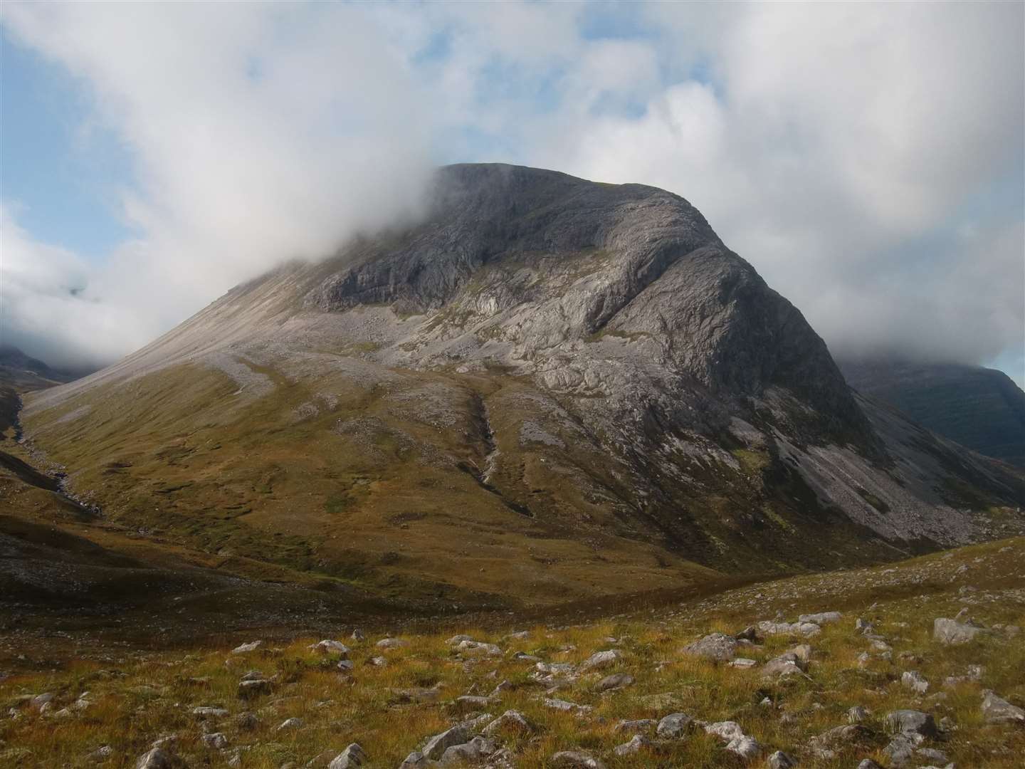
The northern flank of the Corbett is a rocky fortress and its eastern side is composed of steep scree, so the burn has to be followed upwards to the amphitheatre under Beinn Eighe for an ascent from the south.
A very narrow path stays above the burn and I trod carefully to avoid a tumble. This is wild territory, and the mist still swirling under Beinn Eighe gave the place a Lord of the Rings atmosphere.
Waterfalls on the burn and sunlight endowing it with extra sparkle made for a beautiful, if careful, walk to the high point and flatter ground.
Food and drink preceded a short walk up to what I envisaged would be a straightforward ascent to the summit. So it was something of a surprise when mist suddenly cleared and I was faced with a ridge of boulder scree.
Walking poles stashed away, it was time for a scramble which, as it turned out, proved more enjoyable than expected, since the boulders were relatively stable – a lot better than the moveable feast on descent!


Another couple of walkers had followed me up the burn – a young couple who were moving a good deal faster. I lost sight of them by the time I began my upward trajectory but saw them again as they were making their way down.
Rather than tackle the boulder scree they had gone further round the base of the hill to climb by another line, which looked more eroded with signs of passage. I decided to copy them on the way back.
But first I walked the couple of hundred metres to the summit cairn and took in the view – no less spectacular than any other from a Torridon peak.
Then it was back to the edge of the steepening, where I located the eroded path and began my descent. Unlike the way up, everything was sliding under foot, so I was forced to summon all my concentration to keep going, step by cautious step.
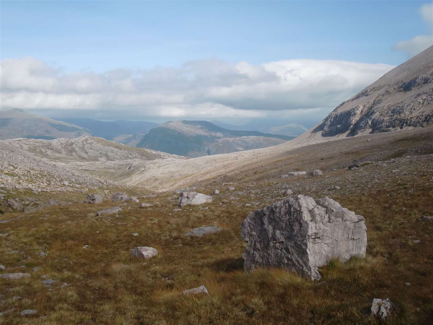
It was a relief to land on easier terrain, with Lochan Uaine cradled under the ridge leading to one of Beinn Eighe's Munros, Spidean Coire nan Clach.
Now it was just a matter of the long haul back and it seemed to take ages to meet the main outward path, from where it was thankfully a much easier walk.
At the start point once more, I felt weary but very happy that I'd coped, knowing for certain that my recovery was definitely going in the right direction.
Route details
Ruadh-stac Bheag, Torridon
Distance 9 miles / 14km
Terrain Excellent path to begin with then rough ground to base of hill. Scree ascent and descent
Start/finish Beinn Eighe visitor centre alongside the A832, north of Kinlochewe
Maps OS Landranger 19 & 25; Harvey Superwalker, Torridon
A testing, wild mountain day to reach the summit of this Torridon Corbett