Going off grid on a straightforward climb of Carn na Coinnich in Strath Conon
Register for free to read more of the latest local news. It's easy and will only take a moment.

The turn of the year is a long way behind us now, with 2020 already showing its age. But a new decade seemed significant enough to mark with a hill climb on January 1.
So Hogmanay celebrations had to be cut short to get enough sleep for an early rise and a drive down Strath Conon.
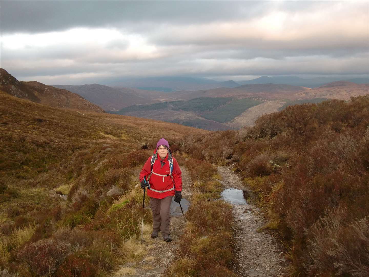
I'd picked a fairly easy Graham that Rosemary and I could get up and down without too much bother. It was a hill I hadn't climbed before and had the advantage of good views in a weather window between some fairly miserable days. The downside was the predicted gusty winds.
Carn na Coinnich is the highest point on a broken ridge between Strath Conon and Glen Orrin. A track runs right the way over the watershed towards the Orrin Reservoir and gets to within about 500 metres of the Graham's summit, making it a straightforward target.
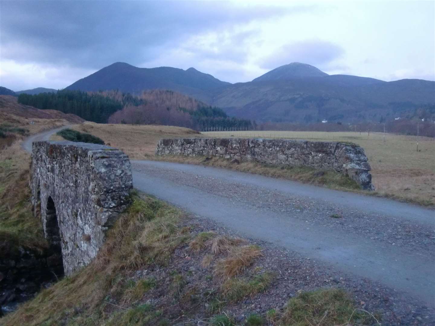
We parked up near a gate just before a bridge crosses the River Meig, well down Strath Conon, where an estate sign welcomes walkers.
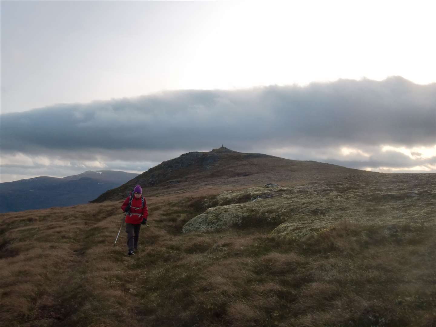
From here a track led west for just over a kilometre, passing Jubilee Wood, to reach a house on the left. Immediately before the house a track bears left, initially heading back towards the wood, then turning right, passing the trees and onto open ground.
All the way up there are great views of the twin Corbetts on the opposite side of Strath Conon – Meallan nan Uan and Sgurr a' Mhuilinn – which I'd done with Active Outdoors companion John Davidson some time ago.
The pungent smell of deer filled our nostrils as we reached a track junction where the estate has placed a metal deer feeding station. The deer eating their fill at it made off up the hillside on seeing us approach, and we turned left to continue our ascent under Creag Ghaineamhach.
The track is frequently used by quad bikes, so the surface was churned up, especially before and after the point where it crosses a burn. Then it steepens considerably, heading straight up the hillside to pass a compound with solar panels, a generator and a mast inside.
We stopped here to get our breath back and heard a quad bike approaching. Its rider had come, he said, to get the wi-fi working. We shook hands to welcome the new year, left our acquaintance to his task and carried on along the track.
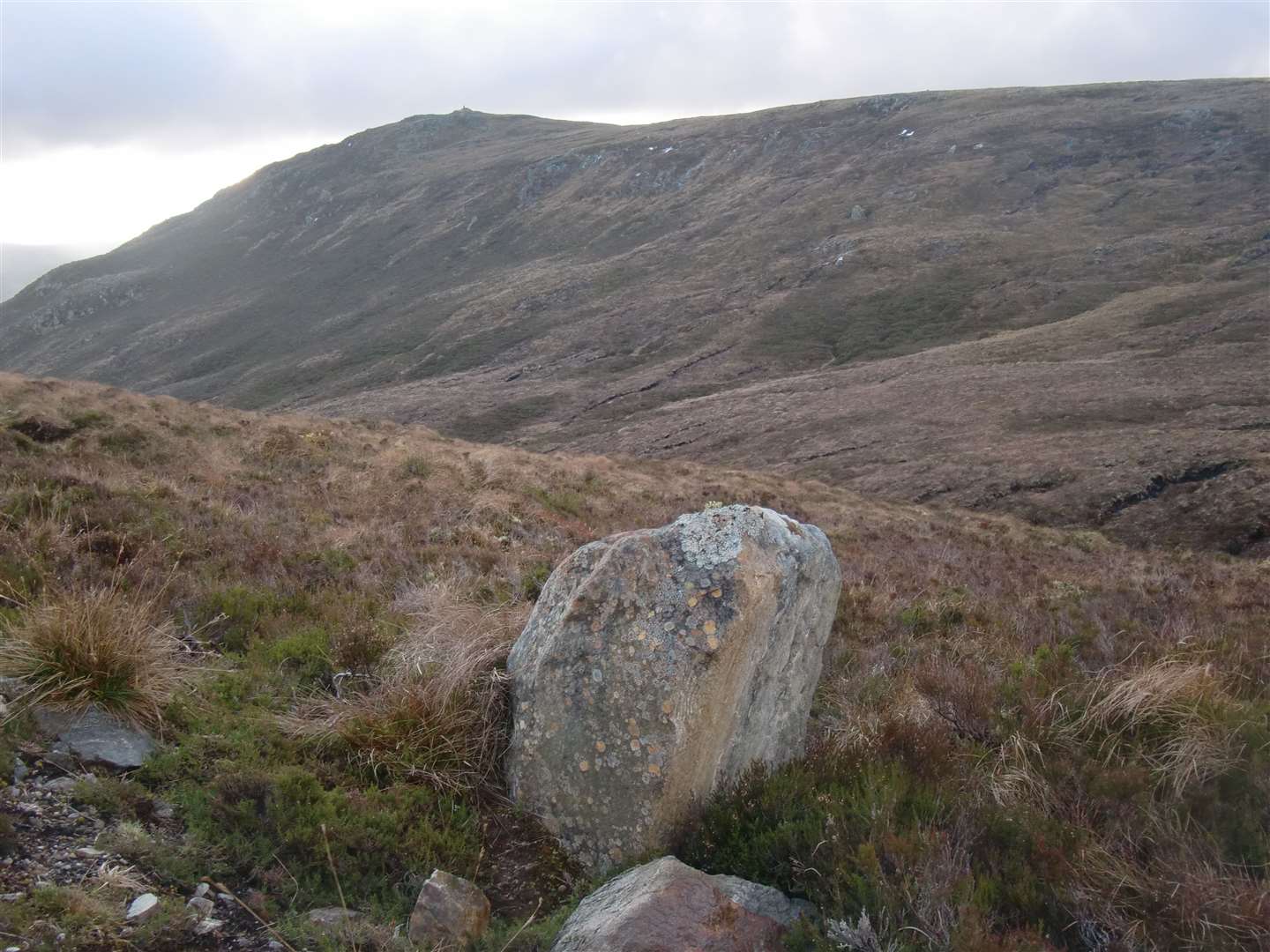
The trig point on Carn na Coinnich comes into view as the track levels off, and I found a suitable point for us to leave it, cross a gully and make for the trig point.
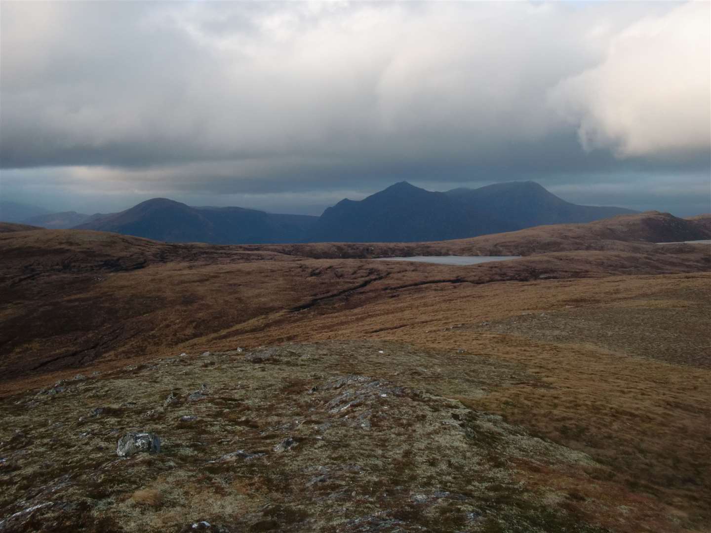
Once on the approach ridge the full force of a hefty wind struck us and it was hard going to cover the short distance to the top. With the wind blasting from the west, a convenient niche on the east side of the trig point gave us cover for lunch and a good view of Orrin Reservoir. Sadly, two wind farms built in recent years mar the glorious vista from this hill.
Lunch over, we prepared to do battle with the wind again but found it had eased considerably. I had thought about making a circuit by walking north-west to skirt Loch Gruamach, then south to a cairn marked on the map.
From there a path leads north beside the Allt Baile na Creige and a track bearing east, back to the start point. The Glen Carron map, OS Landranger 25, is needed for this.
While I had the map with me, this would have lengthened our day, so the notion was abandoned for another time and we made our way down by the ascent route.
To shorten it slightly I decided to take pathless ground round the eastern edge of Jubilee Wood, which proved easy enough and got us closer to the car.
Route details
Carn na Coinnich
Distance 6 miles / 10km
Terrain Tracks and rough ground approaching summit
Start/finish Car park located on road through Strath Conon before a bridge crosses the River Meig, leading to Bridgend
Map OS Landranger 26, Inverness and Loch Ness
An easily accessible Graham which provides an excellent viewpoint for the surrounding countryside of hills and lochs