


Flowerdale Falls and the rocky summit of An Groban
Register for free to read more of the latest local news. It's easy and will only take a moment.

Flowerdale – has a countryside ring to it, doesn't it? And the glen leading to the waterfall of the same name is a really pleasant, picturesque walk that can be enjoyed by families.
Those looking to add on a touch of adventure can climb the rocky little summit of An Groban, beyond the waterfall. It's only 383 metres high, but getting to the trig point on top is no cakewalk and can involve some scrambling if you're so inclined.
The car park opposite the harbour at Charlestown, just south of Gairloch, has signs for Flowerdale Falls. But Rosemary and I took the longer option of following the pavement alongside the road towards Gairloch and turning up a track beside a cemetery, next to a church.
At the corner of the graveyard a path goes left into woodland. This rises then turns right through beautiful trees, where bluebells were still covering the ground beneath the canopy.
Crossing a bridge, we continued straight on, going downhill to a minor road and a Waterfall Walk sign on a made path. Easy walking follows, with a glimpse of majestic Flowerdale House, family seat of the Mackenzies of Gairloch, on the left. A sign is soon reached for the Island of Justice – a boggy area where the Gairloch lairds administered legal rulings until the end of the 18th century.
Beyond this again, at a bridge, another sign cautions that the path gets rougher and steeper, making life difficult for wheelchair users or those with pushchairs.
We walked on to a junction, turning left over a bridge and on past a green hydroelectric station to join a track. Signs point the way to a substantial bridge built by the Royal Engineers.


The falls, carrying very little water after a dry spell, lay ahead. We carried on along the narrow path which winds steeply above the cataract to reach an open area where another bridge crosses the river, used on the way back.
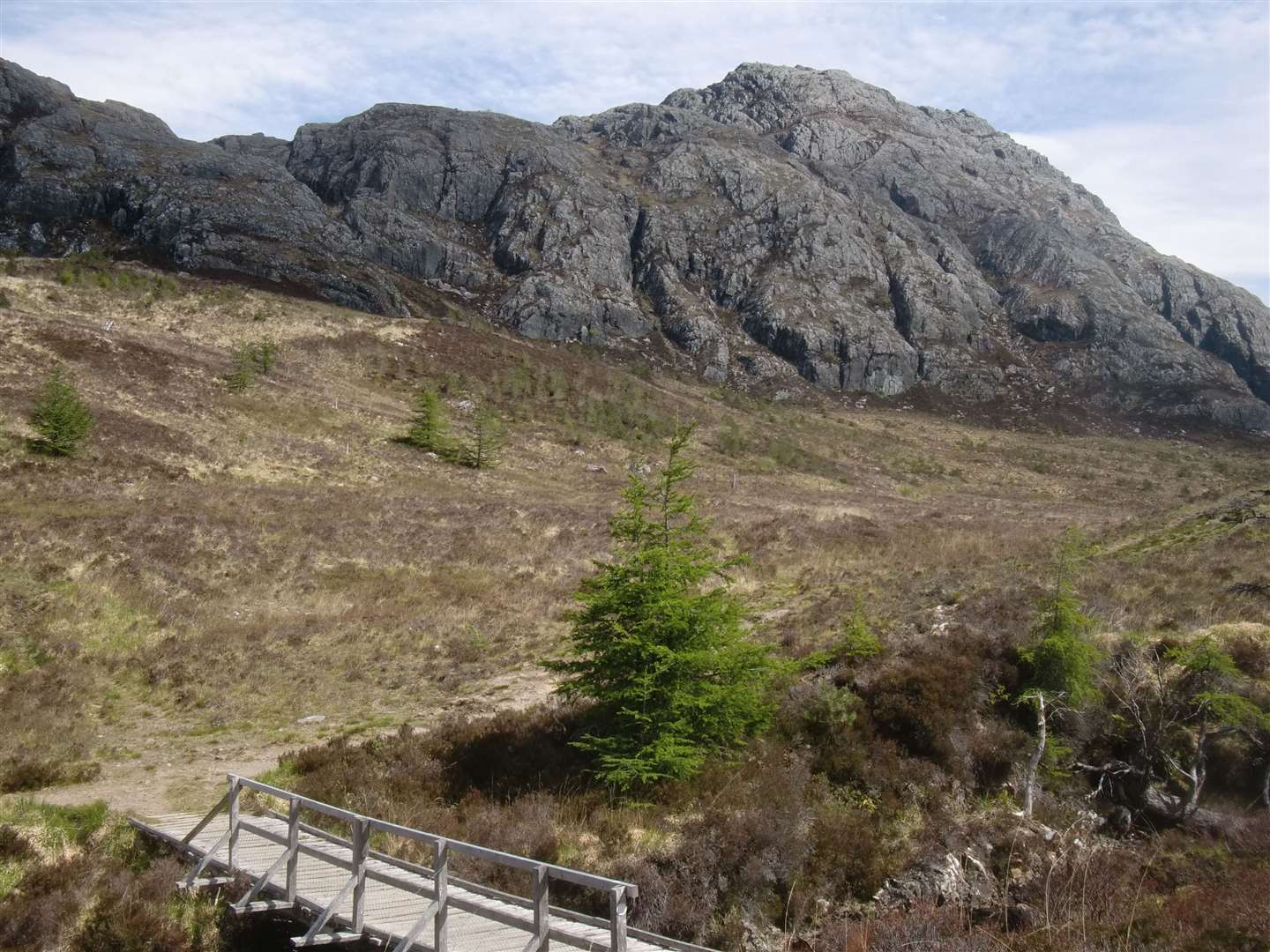
The scenery is now much more rugged, with An Groban rising to the left and its sister peak, Sithean Mor, on the right – higher by only a metre.
Rosemary decided to stay put and enjoy the scenery while I tackled An Groban. From the bridge, a line of wooden posts marks the way to a stile in a deer fence. Once over this the route passes to the left of An Groban up a steep little slope. At the top of it the path drops slightly towards a hydro dam on Loch Airigh a' Phuill.
I turned right and entered a gully with a path leading upwards. This bore left higher up and twisted around to land me on the summit of An Groban where there's a trig point and a fine view back towards Gairloch. The view east is wilder and mountainous, across Loch Maree.
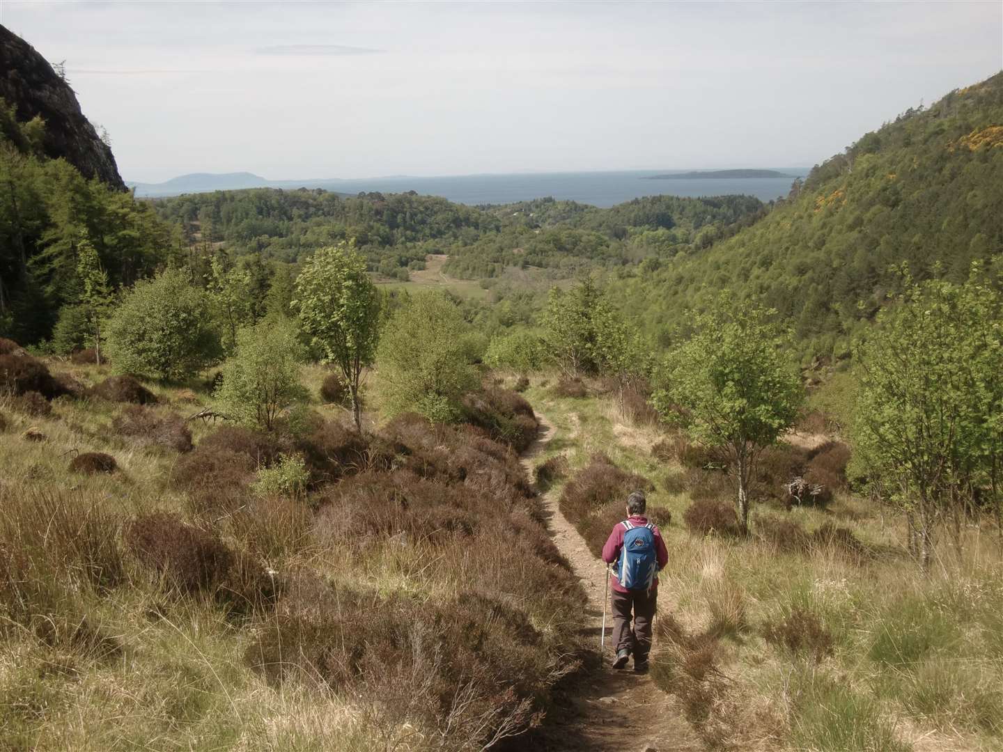
I couldn't resist a bit of scrambling on the rocks at the summit before heading back the way I'd come to rejoin Rosemary. After a break we set off on the return route, crossing the bridge above the falls and following the path down to a junction with a track. Set into a plinth here is a plaque dedicated to the blind piper of Gairloch, Iain Dall Mackay, whose disability was caused by smallpox, afflicting him at the age of seven.
At the junction we turned right to cross a bridge and join the track used on the outward route, turning left to make our way back to the car park at Charlestown. It's possible to vary the return by following a sign for Cherry Tree Hill.
Route details
Flowerdale Falls and An Groban
Distance 4.5 miles / 7.5km
Terrain Easy paths to and from the waterfall – rougher ground to An Groban
Start/finish Car park opposite harbour at Charlestown, just before Gairloch
Map OS Explorer 434, Gairloch; OS Landranger 19, Gairloch & Ullapool
Straightforward, waymarked and very attractive walk to the falls, then up a rocky little peak with views across wild country