Running the South Loch Ness Trail from Dores to Inverness ahead of the Loch Ness 360 Challenge
Register for free to read more of the latest local news. It's easy and will only take a moment.

Events that have been off for the last few years are suddenly getting closer – which means I really need to get some more training in!
For me, the Inverness Half Marathon is just around the corner, on March 13, but the real test will come in mid-May with the Loch Ness 360 Challenge.
Back in 2020 I had signed up for the ‘three marathons in three days’ challenge, and it looks like the inaugural event will finally go ahead this year.
So I headed back to Dores, where the event will start and finish, to re-familiarise myself with this first part of the route. In truth, I know this section pretty well anyway, but I want to complete the 360 as part of my training for the big day – or three days.
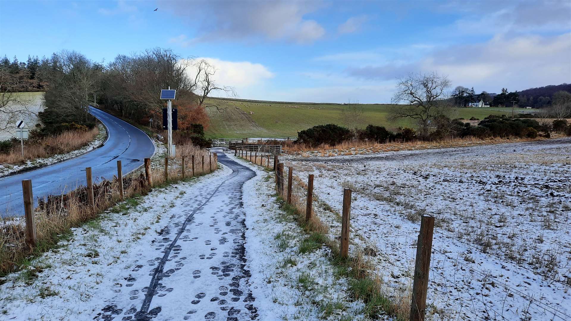
Starting at Dores, I headed north on the pavement to gradually climb towards Aldourie, the early cloud clearing as I went. It had been snowing on the cycle down to the village, but there were already signs of sunshine as I got the first mile of the run under way.
This should be a gentle enough start to the 80-mile circuit of the loch, a chance to warm up on an easy surface before things start to get interesting.
I’d hardly got out of the village when I saw a red kite scouring for food just overhead, skilfully using its forked tail to control its flight in the breeze.
At Aldourie school, the South Loch Ness Trail – which the 360 route follows here – goes across the unsurfaced car park to join a cycle path, which wiggles its way round and up to meet a single-track road.
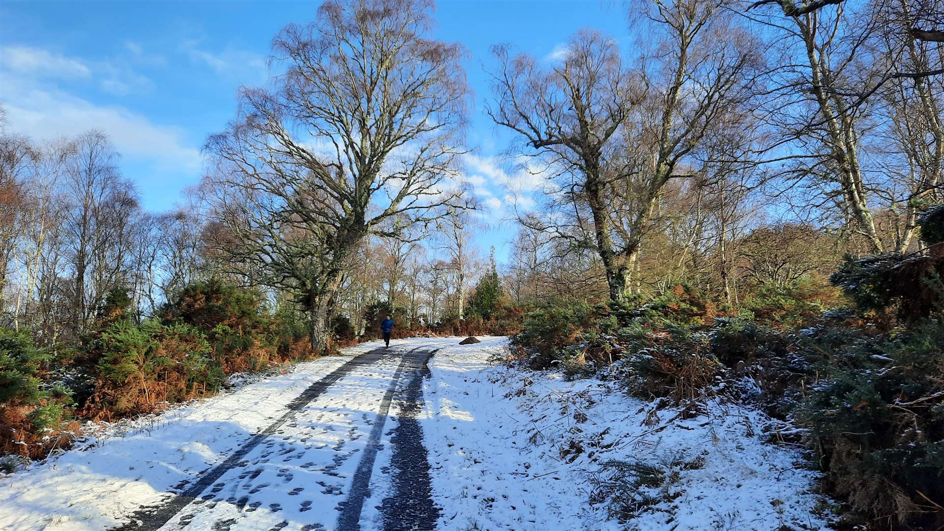
I turned right here and instead of following the cycle route signs left back towards Scaniport and Inverness, I headed right over a bridge then up the Macbain hill. There were lots of footprints in the snow up here as I slowly jogged up, enjoying views across the Great Glen as I went.
Not long after a sharp right-hand bend in the road, a blue marker post indicates the spot where you turn left for the start of the true off-road section. In all but the driest conditions, this track can be pretty soggy – and the snow here was soggy rather than solid.
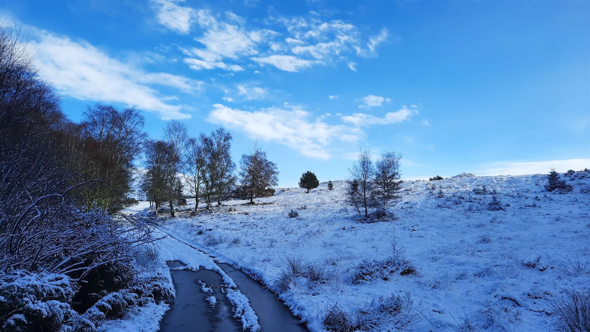
Having negotiated an initial giant frozen puddle, I made some progress along the track and the running surface improved higher up where more snow had created a nice blanket underfoot. Two mountain bikers coming the other way were able to keep their feet reasonably dry pedalling through the puddles, but I had to skirt around the edge to reach the next gate and emerge onto a better section again.
It was invigorating stuff and one of those days where it's just good to be out, despite the cold.
Forestry tracks continue north and I soon got my first glimpse of the city of Inverness, with the prominent Kessock Bridge visible below the Black Isle’s Ord Hill. The sun was well and truly out now and I was enjoying a comfortable run along familiar trails.
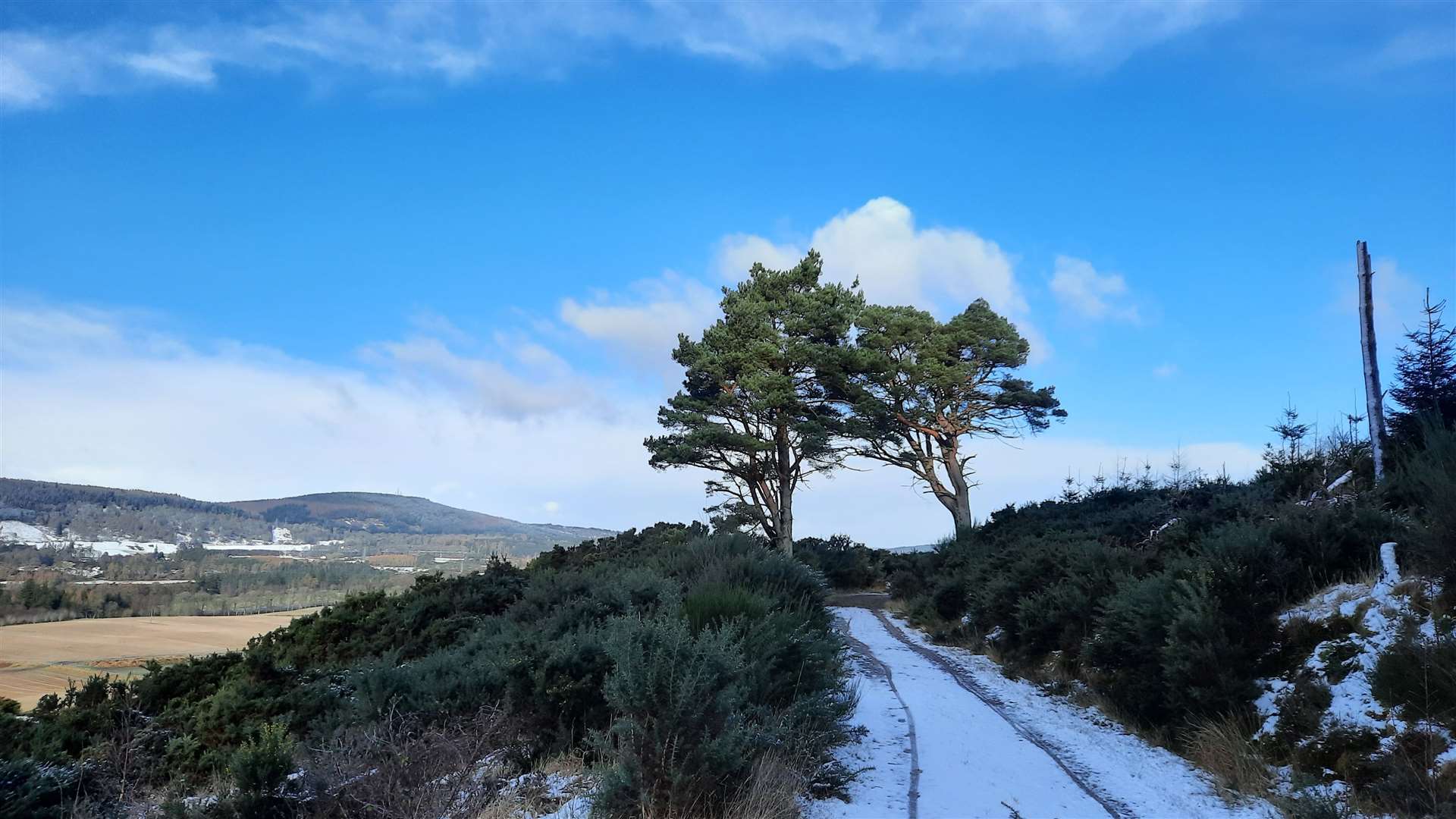
Two Scots pines either side of the track act like a gateway on the way to the farm at Cullaird, where you drop down to turn sharp left onto another boggy track. This one can be particularly bad – as it was today – so some dry weather ahead of the event would be welcome here!
Past the farm buildings and a large house, now on a drier part of the track, the trail turns sharp right to climb briefly into the forest. Infrequent marker posts guide you through the trees, first left then straight on across a vehicle track before bending left at a pond and right to reach the road at Torbreck.
This marks the official end of the South Loch Ness Trail, so the next part of the LN360 Challenge route is a little uncertain as it will need to meet the Great Glen Way to head south towards Drumnadrochit. For the purposes of this recce, I crossed the Torbreck road and headed into the woods on the far side, forking right to follow the path through sparse woodland.
Keep right of the new houses being built at Ness Castle to reach a field and, at the far side, go through the rusty gate then left down a track. This track bends right then continues downhill, across a road, to reach the main road to Dores.
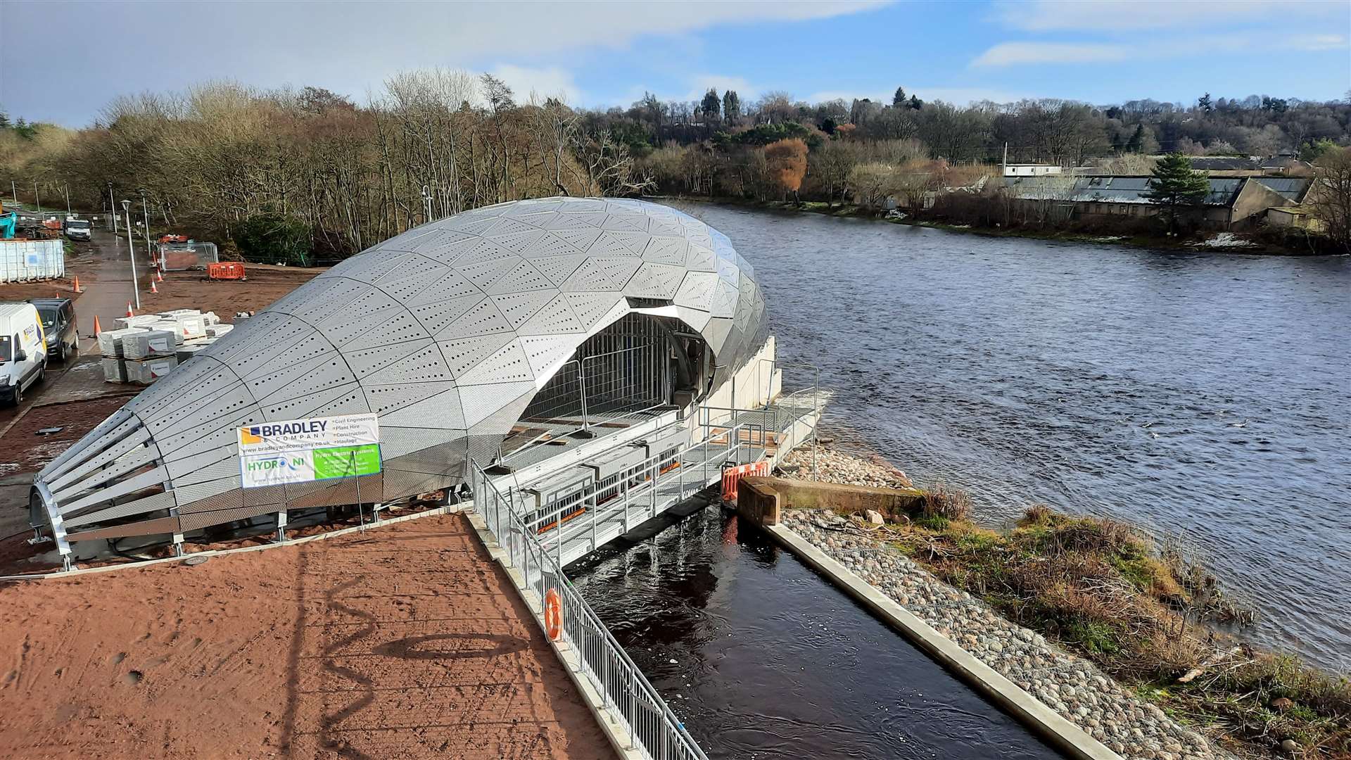
I turned right to reach the Holm roundabout – where Nessie lives – and went left here to follow the distributor road over the River Ness. Just below the bridge, the new Hydro Ness development, which will provide power to Inverness Leisure, is coming along nicely with its eye-catching silver coating.
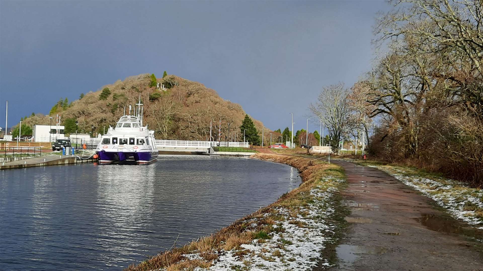
Across the road from here, I veered left to reach the towpath on the Caledonian Canal and followed it up to the new swing bridge over the canal. My aim was to finish at the older Tomnahurich bridge, so I continued past the new ‘control tower’ to the end point.
On the first of the three marathons in the LN360, I’ll be continuing from here to Drumnadrochit, so that will be my next target as I continue my loop of the loch ahead of the event.
Route details
Dores to Inverness on the Loch Ness 360
Distance 10 miles / 16km
Terrain Pavement, cycle path, tracks, paths – stony, boggy and hilly in places
Start/finish Dores/Tomnahurich Bridge
Map OS Landranger 26; OS Explorer 416; Harvey South Loch Ness Trail
A recce of the first section of the Loch Ness 360 ‘three marathons’ challenge