


Dreaming of adventures on a mountain bike loop linking off-road trails around lochs south of Inverness
Register for free to read more of the latest local news. It's easy and will only take a moment.

Heading out for a ride on the spur of the moment can be a really rewarding experience, as I remembered when I ventured out for a spin after a Saturday morning errand recently.
With the rare feeling that I wasn’t expected to be home straight away – and the sun shining – I decided to just pick a direction and go.
I’d gone out on the mountain bike, so I wanted to find some nice off-road to play on, but first I headed up the hill on the B road to Inverarnie. This starts from just west of the Asda supermarket along the distributor road in Inverness, and it begins with a steep pull up the tarmac.
I engaged the granny gears and tootled up the hill, saying a cheery ‘hello’ to the many other cyclists out and about on this fine morning.
You spot a lot more heading up here on a bike, especially at this slow pace, and I noticed an interesting old ruin hidden in the trees on a bend. As you get higher, the views get more and more impressive.
Near the top, there’s a trig point across a field that I’d always meant to stop and visit and never made the time, so I decided to take a look today – and boy, was it worth it!
The view over Inverness to the Black Isle and beyond is remarkable, and it lay before me on a beautiful morning of bright skies and fluffy clouds. It gave me a real sense that maybe, just maybe, there could be more adventures to come this year.

Certainly, there is optimism that some outdoor events later in the year can go ahead now, and I can’t wait to get back to the hills and glens further from home as well as taking part in some of these.
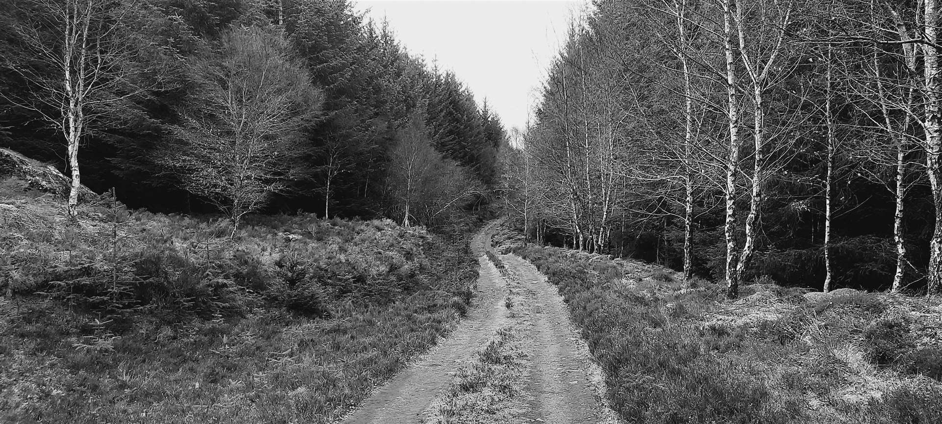
But today it was enough to be venturing out close to home again, and back on the road I continued up past Tomfat Woods before taking a right turn onto a forestry track as the road starts to head downhill.
This off-road route down to Loch Bunachton is an easy vehicle track through the woods, and the sense of space is fantastic. I paused above the final descent to the water’s edge to look out and just breathe in the fresh air.
By the loch, the obvious route bends left – there are often cars parked down here, presumably accessing the fishing beats. Moving away from the water the route now heads through thick forestry until it reaches a clearing.
Past the new line of pylons, I took a right turn up the ridge then went almost immediately right again onto an older grassy track. This is a fine, quiet stretch and it’s almost a shame when it ends all too soon at the road above Dunlichity.
I had formed a vague plan in my mind to go right then left here to head to Loch Duntelchaig but a quick glance at the OS map on my phone gave me a better idea that would give a longer stretch of off-road that I hadn’t been on in a few years.
I went left, dropping down the steep single-track road to Dunlichity, where I turned right to pass the old church. Continuing past the beautiful Loch a’ Chlachain – where the water laps the shore right at the edge of the road – I quickly reached the access track to the waterworks at the eastern-most edge of Loch Duntelchaig.
Turning left onto this track, I went through the gate and over the dam before passing the excellent rock-climbing crags on the southern edge of the loch. There was no clinking of climbing gear today, though – perhaps another thing that could change soon enough as more outdoor sports are allowed.
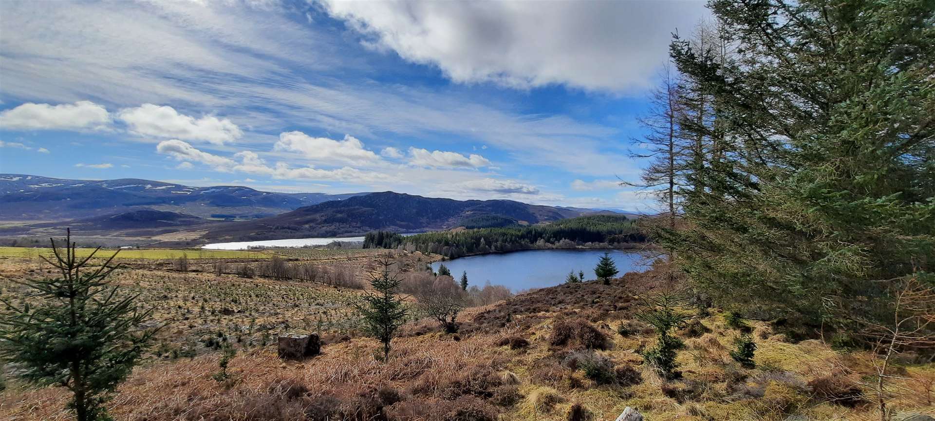
There are wonderful views down Loch Duntelchaig as you head along past Leiterchullin and start to climb up to the pass. Ignore a track off to the right as the way starts to steepen and you’ll eventually reach a cairn that marks the high point.
On the way down to Loch Ruthven you pass the hidden waters of Loch a’Choire – hidden, that is, from below, but a lovely spot for those who venture up here off-road. A motorcyclist was heading up the opposite way, even though such routes are not open to motor traffic, barring the usual and justified exceptions. I rather suspected this wasn’t one of those.
Reaching the road just after a gate with the Trail of the 7 Lochs (T7L) logo on, I headed right, past the house at Dalcrombie and down the zigzags, then past more crags on the left and on to the little causeway over the head of Loch Duntelchaig. A short, steep pull up to the B road follows abruptly, and I turned right at the top to head up to the Ashie Moor.
I followed the road right towards Inverness rather than heading down the hill to Dores, as I had one last stretch of great off-road riding in mind.
After a long straight stretch of tarmac, there are a couple of houses on the right. Immediately after these, a track goes left downhill into the woods, and I followed it, looking out for a narrower path that leads off to the right further down.
The route is part of the T7L, so look out for the triangular arrow pointing the way as you zip off the wider track and onto a really fun stretch through grass, mud, roots and rocks. There is some fine riding to be had here but nothing technical except perhaps a small trickle of a burn that has to be crossed in a dip.
After a gate, the route crosses a minor road to continue on another off-road section that follows the T7L and South Loch Ness Trail – marked by a squirrel symbol – to a farm at Cullaird.
Now on familiar territory close to home, I made my way back through the woods on the marked route that terminates at the Torbreack road, where you turn right to head back to Inverness.


Route details
Ruthven off-road loop
Distance 27 miles / 43km
Terrain Off-road tracks, minor roads and B roads
Start/finish Inverness
Map OS Landranger 26
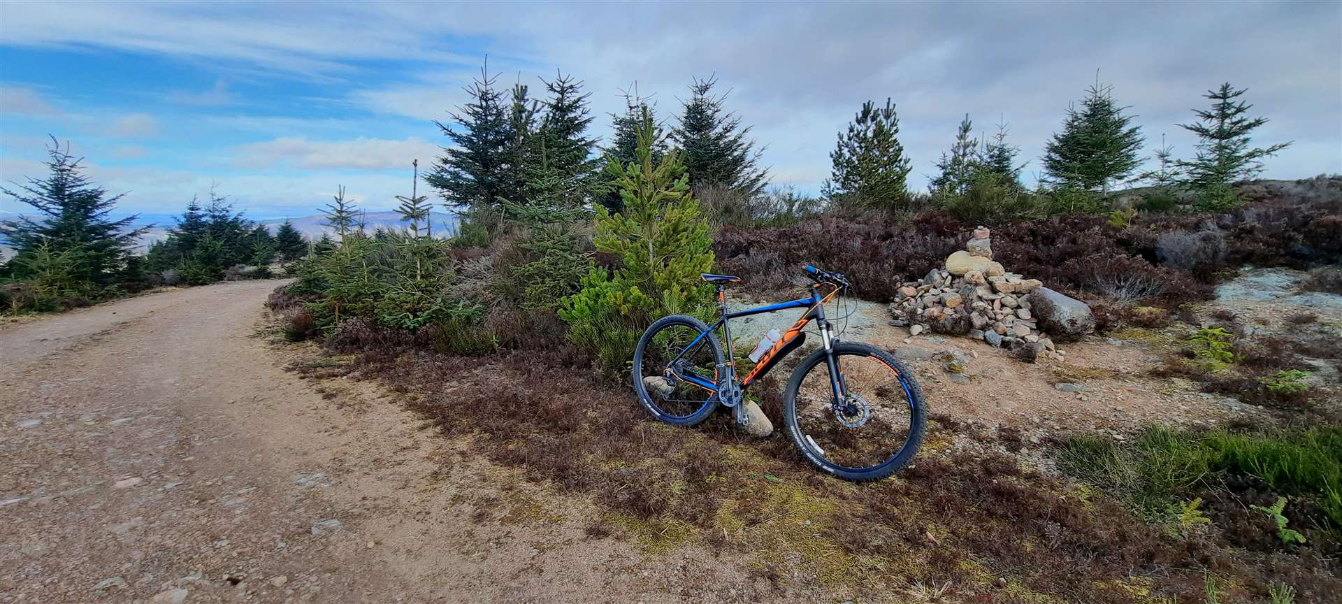
Taking time to explore some local trails on the mountain bike